
Bryce Canyon Country
The high-plateau heart of Scenic Byway 12 — Bryce Canyon's hoodoos, the Grand Staircase–Escalante, and the string of towns and parks along one of America's great drives.
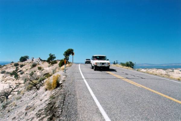
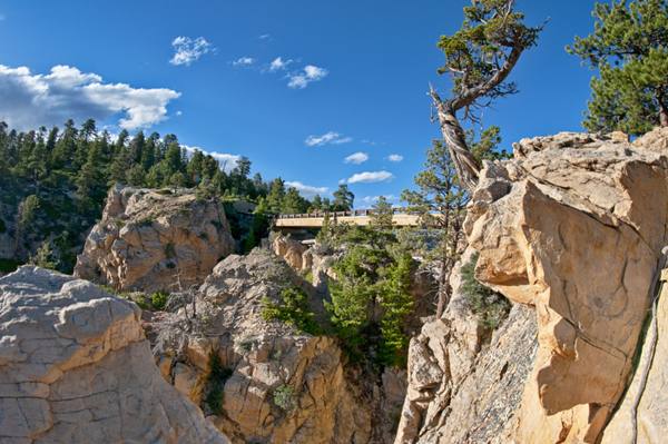
If one road defines this region, it is Scenic Byway 12 — the All-American Road that climbs and winds for 124 miles across the high plateaus of south-central Utah, and which much of Bryce Canyon Country is simply strung along. This is high country, cooler and greener than the deserts below, where the elevation runs from seven to over nine thousand feet and the landscape shifts from pink hoodoos to white slickrock to alpine forest in the space of an afternoon's drive.
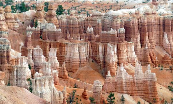
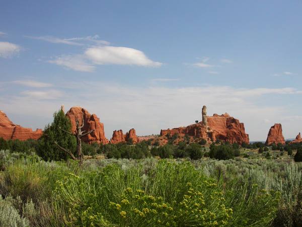
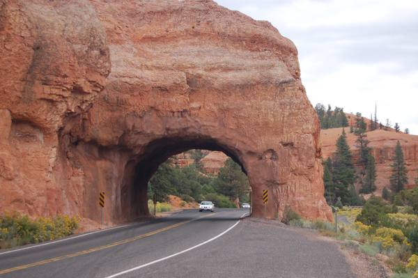
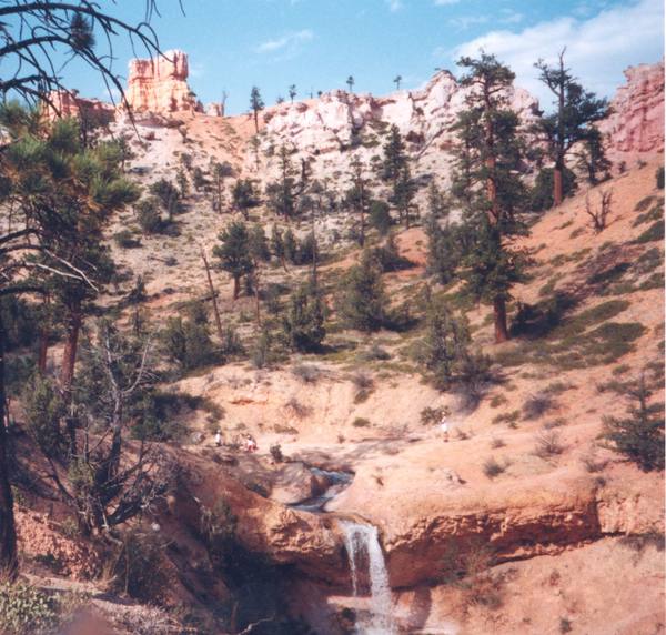
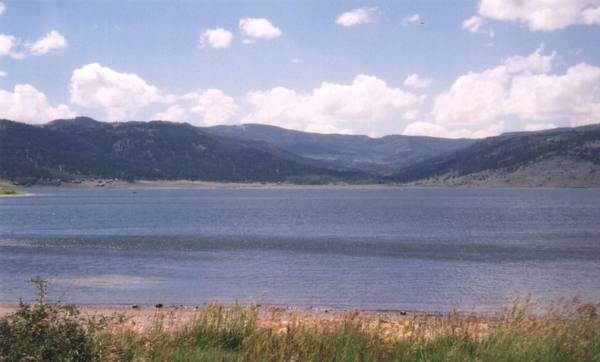
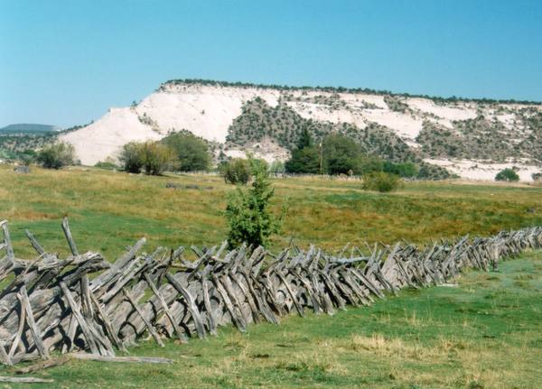
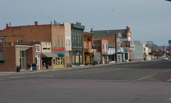
The anchor is Bryce Canyon National Park — not a canyon at all, but a series of amphitheaters eroded into the edge of the Paunsaugunt Plateau, holding the largest concentration of hoodoos, those thin spires of stone, found anywhere on Earth. It sits high enough that it snows on the rim and far enough from city light that its night skies are among the darkest in the country. West of the park, Red Canyon frames the highway in vermilion arches; the brick pioneer town of Panguitch guards the western gateway on US-89, with the trout water of Panguitch Lake up the mountain beyond it.
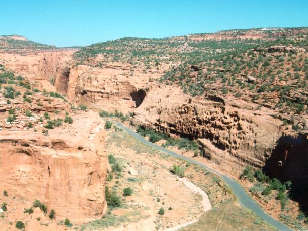
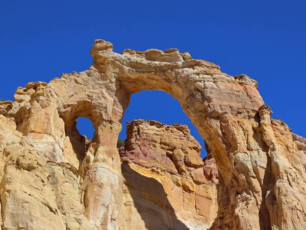
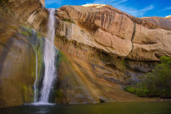
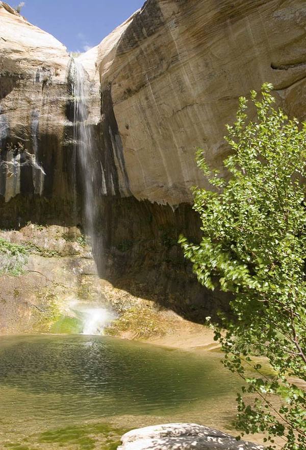
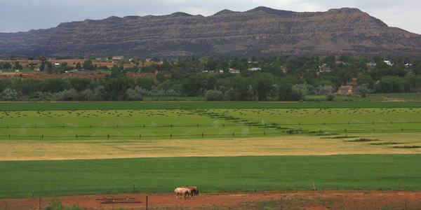
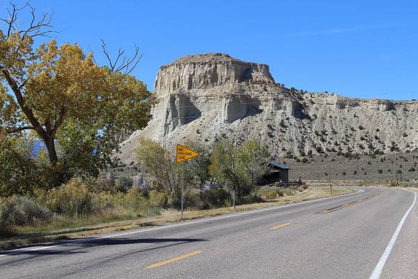
East of Bryce, the byway runs through a chain of small Mormon towns — Tropic, Cannonville, Henrieville — and past the spires of Kodachrome Basin and the improbable double span of Grosvenor Arch, out a dirt road toward the Grand Staircase. Then it enters the slickrock heart of the Grand Staircase–Escalante country, where the trail to Lower Calf Creek Falls ends at a 126-foot waterfall in a desert canyon, and the highway itself narrows to the Hogback, a knife-edge of pavement with the land falling away on both sides.
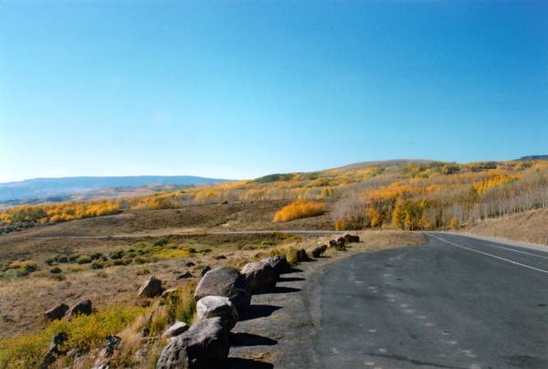
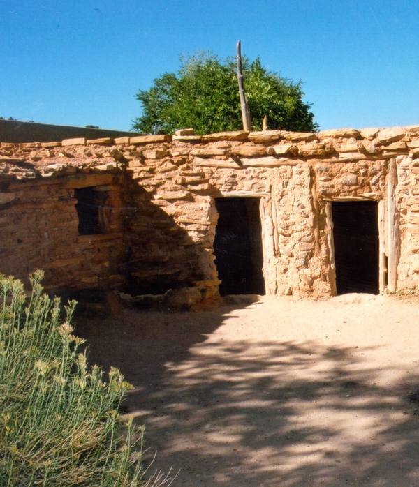
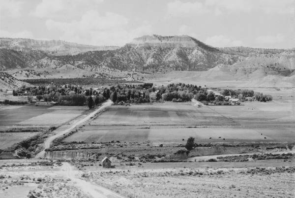
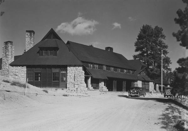
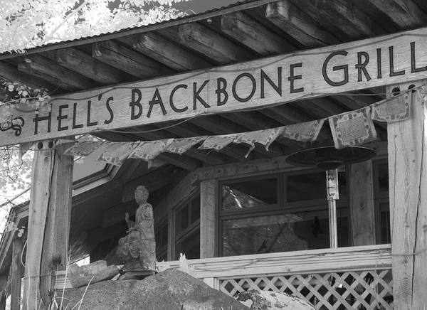
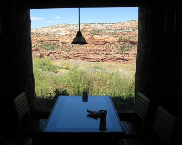
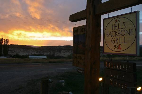
It ends, more or less, at Boulder — one of the most isolated towns in the country, which got its mail by mule into the 1940s — home to Anasazi State Park and the farm-to-table Hells Backbone Grill, with the Burr Trail dropping east into the canyons and Boulder Mountain lifting the road to 9,600 feet of aspen before it falls toward Capitol Reef.
Come in late spring through fall, give the byway a full day even though you could drive it in three hours, and plan to stop more than you think. Bryce Canyon Country is less a destination than a 124-mile sequence of them.
What to See in Bryce Canyon Country
25 places across the region, grouped by what they are.
Geology & Rock Formations
Natural Areas
Hikes & Trails
Historic Sites
Towns & Gateways
Architecture
Food & Drink
Attractions
Scenic Drives through Bryce Canyon Country
Highway 12 Scenic Byway
A 124-mile All-American Road through southern Utah's red-rock canyons, alpine forests, and slickrock wilderness — widely regarded as one of the most scenic drives in America.
Highway 20
Twenty unsigned miles between I-15 and US-89 over Bear Valley — the Old Spanish Trail crossing that carried Panguitch's founders and the Quilt Walk of 1864.
Scenic Byway 143
Utah's Patchwork Parkway — 51 miles from Parowan to Panguitch, climbing 4,400 feet out of the desert to a 10,000-foot rim past Brian Head, Cedar Breaks, and Panguitch Lake.
US-89: Climbing the Grand Staircase
The climb from Lake Powell to Bryce Canyon — up the Grand Staircase, where each step north is younger rock and higher ground, from the slickrock desert to the Pink Cliffs and their hoodoos.
Stories from Bryce Canyon Country
The Small Print at the Side of the Road
Utah's historical markers carry two stories: the one on the front, and the one at the bottom — a hundred and twenty-five years of daughters, sons, counties, towns, and one museum deciding what deserved bronze.
The Roads the Depression Built
How three million out-of-work young men built the mountain roads Utah still drives on.
The Poison Road
How the CCC built the most dangerous road in southern Utah in a single summer, and why it took seven more years before Boulder finally stopped getting its mail by mule.
The Restaurant at the End of the Road
Hell's Backbone Grill opened in 1999 in Boulder, Utah, with three thousand dollars and a year of free rent. By every reasonable accounting of how restaurants work, it should have closed inside two years. Instead it built a farm, helped mount a legal challenge to the largest reduction of federal land protection in U.S. history, and in 2025 bought the lodge it had been renting since the start.
The Staircase You Can Drive
Most geology happens vertically and out of reach. Along Utah Highway 12, the entire 270-million-year stack tilts sideways into the windshield.
The Last Mule Mail Town in America
How Boulder, Utah went from the most isolated settlement in the lower 48 to one stop on the most beautiful drive in America — and stayed, somehow, mostly itself.
Bryce Canyon Country rewards the unhurried. Pick a base, fan out, and let the country between the headline stops surprise you.
← Explore more of Open Road Guide