🛣️Guides to the American West

Your road trip starts here.

Field-tested guides to the American West — the parks, the ghost towns, the scenic drives, and the roadside stories most maps leave out. Pick a state below and start exploring.

Choose a stateBrowse every stop
11 states · 740 places · 10 categories

Where are you headed?

Each state is its own guide — its regions, its drives, its stories, mapped end to end.
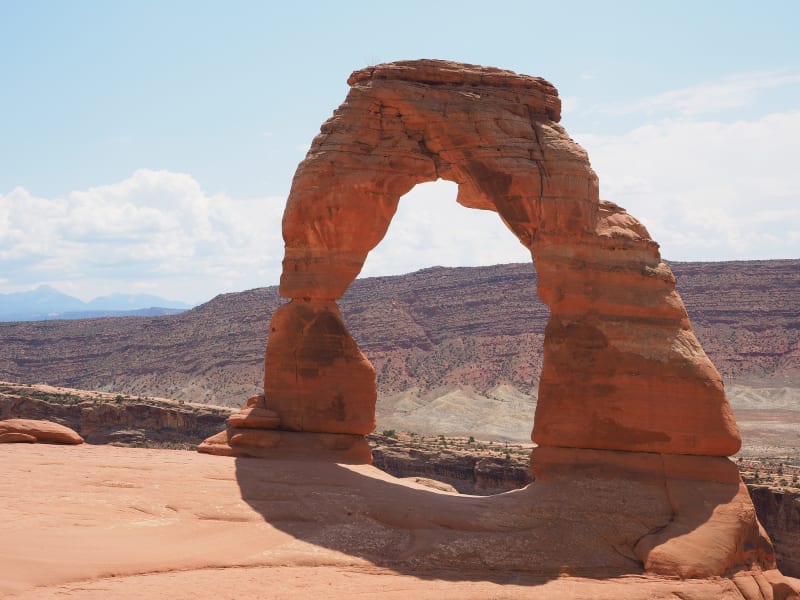
Delicate Arch in Arches National Park, standing free on the rim of its slickrock bowl — a single span of red sandstone with one thick leg and one slender, streaked with dark desert varnish and banded pale cream along its upper curve, throwing a hard shadow across the smooth rock at its foot. Behind it the country falls away in red and grey ledges to a broad bench, and the La Sal Mountains stand hazy blue on the horizon at the left under scattered cloud.
Utah

From the red-rock canyon country of the south to the alpine Wasatch in the north — five national parks, a hundred ghost towns, and more empty road than almost anywhere left in the country.
Explore Utah →
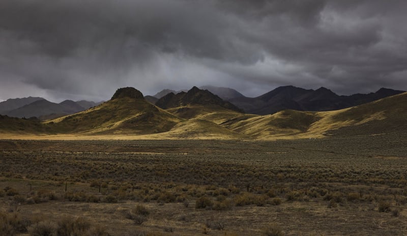
Basin and Range country under a breaking storm — heavy dark overcast filling the top of the frame with rain trailing beneath it, and a low shaft of sun raking gold across a line of grassy foothills below. Darker ranges stand behind them in shadow, layering back to a hazy ridge at the left. In the foreground a broad sagebrush flat lies in shade, a wire fence on leaning posts running across it from edge to edge.
Nevada

Past the neon and out the other side — the loneliest roads in America, silver-boom ghost towns, a drowned city under Lake Mead, and the desert the Strip makes you forget.
Explore Nevada →
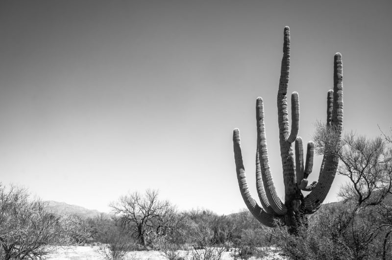
A black-and-white photograph of a single saguaro standing at the right of the frame in the Sonoran Desert, its trunk carrying a crown of long arms that rise and curve above a thicket of bare-branched desert trees and low scrub. The ground runs flat away to a line of low hills on the horizon at the left, and an empty pale sky fills the upper two-thirds of the picture. The photograph carries no colour.
Arizona

From the rim of the Grand Canyon down to the saguaro country of the Mexican border — the longest surviving stretch of Route 66, the homelands of twenty-two tribal nations, red-rock canyons, and mining towns that outlived their mines.

Explore Arizona →
The Mesquite Flat sand dunes in Death Valley — low pale dunes running back across the frame with mesquite bushes rooted in the hollows between them, sand hummocked up around their stems. Footprint trails wander over the near sand, and a long grey-brown mountain wall rises along the far side of the valley under a clear, pale sky. A few visitors show far out on the dunes as small dark specks.
California

From the Colorado River crossing of Route 66 to its end on the Santa Monica Pier — Death Valley's below-sea-level basins, the gold country of the Mother Lode, the granite passes of the Sierra, and the desert California the coast never sees.
Explore California →
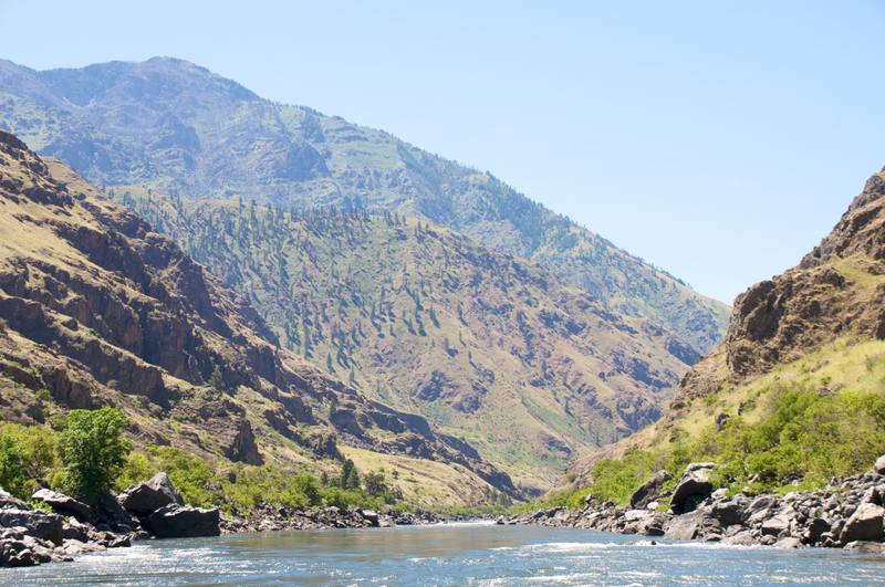
The Snake River in Hells Canyon, seen from the water — the river running bright and riffled between banks of dark boulders, willows and green brush along its edges. Stepped walls of dark rock rise steeply on both sides, streaked with grass and scattered pines, and a long timbered ridge climbs across the back of the frame to a summit at the upper left under a clear, pale blue sky.
Idaho

From the Canadian line down to the Great Basin — Hells Canyon, the deepest river gorge in North America, the black lava of Craters of the Moon, the Oregon Trail along the Snake River, and the homelands of five sovereign tribal nations.
Explore Idaho →
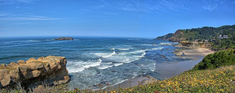
Surf breaking along the central Oregon coast at Otter Rock, sandstone in the foreground and a wooded headland beyond
Oregon

From the mouth of the Columbia to the sagebrush of the high desert — Crater Lake, the deepest lake in the country, the end of the Oregon Trail in the Willamette Valley, ocean beaches open to everyone by law, and the homelands of nine federally recognized tribal nations.
Explore Oregon →
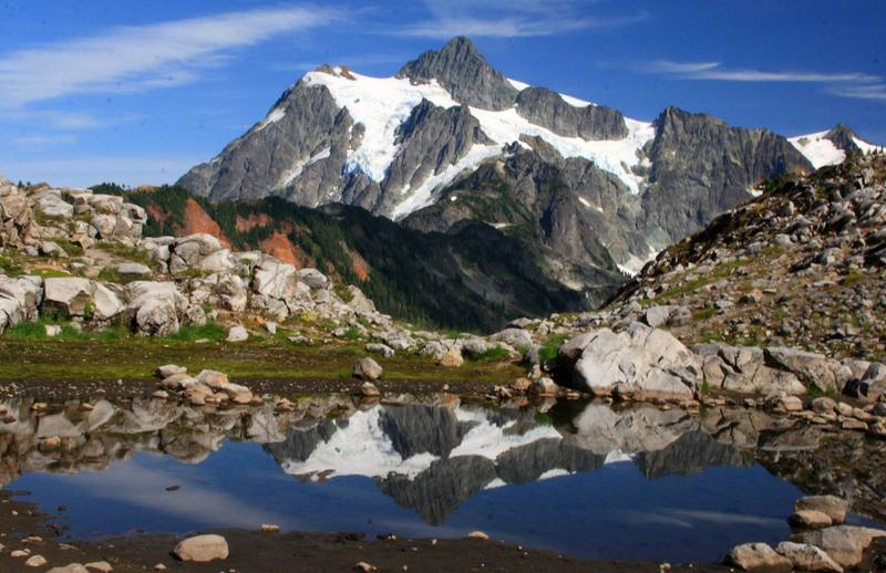
Mount Shuksan's glaciers and dark rock ridges mirrored in a still tarn among pale granite boulders near Artist Point in the North Cascades
Washington

From Cape Flattery to the Palouse — the rainforests of the Olympic Peninsula, the volcanoes of the Cascades, the coulees the Ice Age floods cut through the basalt, the Columbia's long run to the sea, and the homelands of twenty-nine federally recognized tribal nations.
Explore Washington →
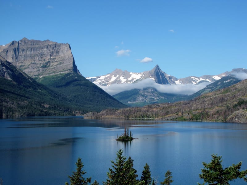
Wild Goose Island in St. Mary Lake, Glacier National Park, with Dusty Star Mountain on the left, Fusillade Mountain on the right and snowy Gunsight Mountain between
Montana

From the Continental Divide out onto the high plains — Going-to-the-Sun Road across Glacier, the Little Bighorn where the Lakota, Cheyenne and Arapaho defeated Custer, the Missouri that Lewis and Clark climbed, Butte's hill of copper, and the homelands of twelve tribal nations.
Explore Montana →
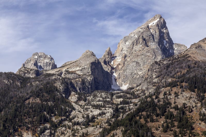
The central Teton Range from below, the Grand Teton rising in a grey granite spire beside Teepe Pillar, Disappointment Peak and Middle Teton, snow in the gullies and forest on the lower slopes
Wyoming

From the geysers of Yellowstone out onto the shortgrass plains — the Tetons standing straight up out of Jackson Hole, Bear Lodge, which the maps call Devils Tower, Oregon Trail ruts cut into the sandstone at Guernsey, the first government anywhere to give women the vote, and the Wind River homeland of the Eastern Shoshone and Northern Arapaho.

Explore Wyoming →
Mount Sneffels in the San Juan Mountains, snow on its ridges above bare aspens
Colorado

From the cliff dwellings of Mesa Verde out onto the shortgrass plains — the passes and mining towns of the San Juans, the headwaters of the Colorado River, Tava-kaavi, which the maps call Pikes Peak, Sand Creek, where the army massacred Cheyenne and Arapaho people in 1864, and the homeland of the Nuuchiu, the Ute people.
Explore Colorado →
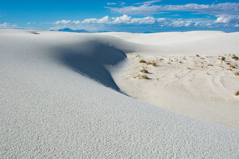
A sunlit crest of white gypsum dune curving across White Sands, grasses in a hollow and blue mountains on the horizon
New Mexico

From the Four Corners down to the Chihuahuan Desert — the great houses of Chaco Canyon, Santa Fe at the end of the trail from Missouri, the white gypsum of White Sands, the Trinity Site where the first atomic bomb was tested, and the homelands of twenty-three tribal nations, nineteen of them Pueblos.

Explore New Mexico →

The West, state by state

Eleven states are mapped end to end so far, with more filling in as we drive them. Tap a lit-up state to head there.

Alabama — not yet mappedAlaska — not yet mappedArizona — live guideArkansas — not yet mappedCalifornia — live guideColorado — live guideConnecticut — not yet mappedDelaware — not yet mappedFlorida — not yet mappedGeorgia — not yet mappedHawaii — not yet mappedIdaho — live guideIllinois — not yet mappedIndiana — not yet mappedIowa — not yet mappedKansas — not yet mappedKentucky — not yet mappedLouisiana — not yet mappedMaine — not yet mappedMaryland — not yet mappedMassachusetts — not yet mappedMichigan — not yet mappedMinnesota — not yet mappedMississippi — not yet mappedMissouri — not yet mappedMontana — live guideNebraska — not yet mappedNevada — live guideNew Hampshire — not yet mappedNew Jersey — not yet mappedNew Mexico — live guideNew York — not yet mappedNorth Carolina — not yet mappedNorth Dakota — not yet mappedOhio — not yet mappedOklahoma — not yet mappedOregon — live guidePennsylvania — not yet mappedRhode Island — not yet mappedSouth Carolina — not yet mappedSouth Dakota — not yet mappedTennessee — not yet mappedTexas — not yet mappedUtah — live guideVermont — not yet mappedVirginia — not yet mappedWashington — live guideWest Virginia — not yet mappedWisconsin — not yet mappedWyoming — live guide
Live guidesComing soonStill to come

Or just browse the whole map

Every stop we've mapped so far. Tap any dot to see what makes it worth pulling over.

Architectural
Attraction
Culinary
Cultural
Geological
Historical
Industrial
Natural
Recreational
Roadside