The Story
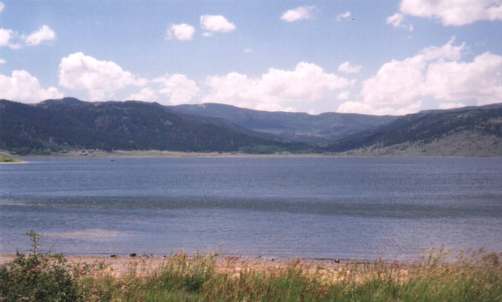
Panguitch Lake is the kind of place that earns its name. "Panguitch" is a Southern Paiute word for "big fish," and the lake — a natural body of water of roughly 1,250 acres on the Markagunt Plateau, sitting at about 8,400 feet — has spent most of its history living up to it. It lies in the Dixie National Forest between the Cedar Breaks high country and the town of Panguitch, about eighteen miles up State Route 143 from the highway's eastern end, ringed by lava flows, aspen, spruce, and ponderosa, with something like ten miles of shoreline and a scattering of small lodges and boat ramps around it.
What it is known for is trout. Panguitch Lake is one of southern Utah's premier fisheries — a designated Blue Ribbon water — and the fish run large: rainbow, Bear Lake cutthroat, and tiger trout in the fourteen-to-twenty-four-inch range are common, taken from boats, from the shore, and through the ice in winter, when the lake freezes hard enough to draw ice fishermen by the middle of December. It has not always been this good. Heavy populations of Utah chub repeatedly crowded out the trout until 2006, when state wildlife managers treated the lake with rotenone to reset it and restocked it with cutthroat and tiger trout — predators that keep the chub in check — turning it into one of the most productive trout lakes in the state.
For a road tripper on the Patchwork Parkway, the lake is the cool, blue counterweight to the red rock at Cedar Breaks National Monument: State Route 143 runs right along its eastern shore before peeling off to descend the long eighteen miles through South Canyon to Panguitch. Even if you never wet a line, it is the obvious place to pull over, get out, and stand by the water at 8,400 feet before the byway drops back toward town.
Visitor Info
On the Map
A story featuring this place
Go deeper into the history and character of this stop
Nearby
The closest stops worth working into your route
Historical markers nearby
Roadside plaques and monuments within a short detour