The Story
Boulder Mountain is the forested giant that most visitors to southern Utah drive over without realizing they are on top of something extraordinary. The mountain is actually a massive volcanic plateau — 50 miles long, rising to over 11,000 feet — covered in dense spruce, fir, and aspen forest and dotted with over 80 alpine lakes. Highway 12, the scenic road connecting Torrey and Boulder, crosses the plateau at roughly 9,600 feet, and the views from the highway pullouts — looking east across Capitol Reef, the Waterpocket Fold, the Henry Mountains, and the desert beyond — are among the most expansive in Utah.
The mountain exists in a strange perceptual gap. Visitors driving Highway 12 register the forested terrain and the high-elevation pullouts, but the plateau's flat-topped profile means there is no dramatic peak to draw the eye, and the dense forest obscures the terrain features that would signal "mountain" to most observers. You are on top of a mountain, but it feels like driving through a very high forest. The result is that most visitors experience Boulder Mountain as a scenic interlude between the red rock country on either side, never realizing that the plateau beneath their tires contains dozens of alpine lakes, hundreds of miles of trails, and some of the most productive fishing water in southern Utah.
The lakes are the mountain's hidden treasure. Scattered across the plateau at elevations between 8,000 and 11,000 feet, they range from small ponds barely larger than a swimming pool to substantial bodies of water covering several acres. Many are stocked with brook and cutthroat trout, and the fishing pressure is light enough that catching limits is common for anglers willing to hike the short distances from the forest roads to the lakeshores. The forest roads themselves are rough — high clearance is recommended, and four-wheel drive is advisable for some — but they provide access to a network of trailheads that reach lakes seeing only a handful of visitors per week.
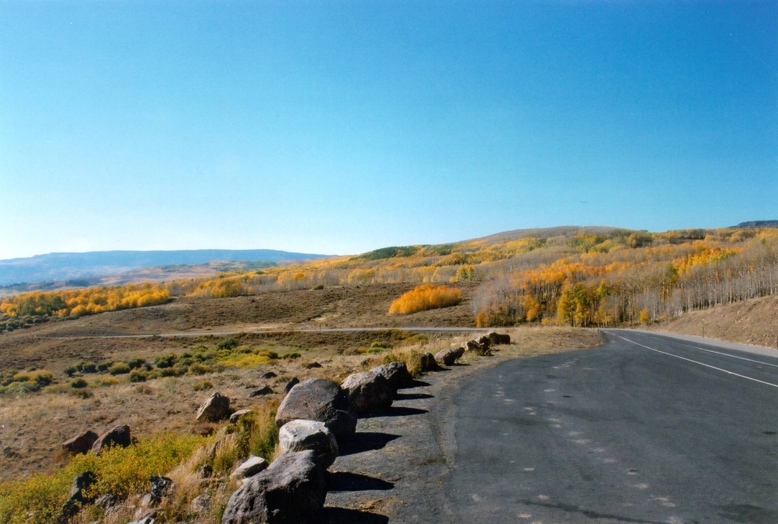
The fall color on Boulder Mountain is spectacular and overlooked. The aspen groves that cover the lower and middle elevations turn gold in late September and early October, and the display — viewed from Highway 12 with the red rock desert visible in the distance below — creates one of the most dramatic color contrasts in the state. Gold aspens against dark conifers against red rock against blue sky, layered in bands of color that extend from 6,000 feet to 11,000 feet, is a visual experience that rivals anything the more famous fall color destinations in Utah can offer.
Boulder Mountain is the part of southern Utah that does not fit the brand. It is not red rock. It is not desert. It is not canyon country. It is a high, forested plateau covered in lakes and crossed by a scenic highway, sitting in the middle of the most famous red rock landscape in America. The incongruity is part of its charm — you drive through desert, climb through red rock, enter a spruce forest, cross a plateau at 10,000 feet, and descend back into desert on the other side, all in the space of an hour. Boulder Mountain is the intermission in the red rock symphony, and it is beautiful enough to steal the show.
Visitor Info
On the Map
Stories featuring this place
Go deeper into the history and character of this stop
Nearby
The closest stops worth working into your route
Historical markers nearby
Roadside plaques and monuments within a short detour