California
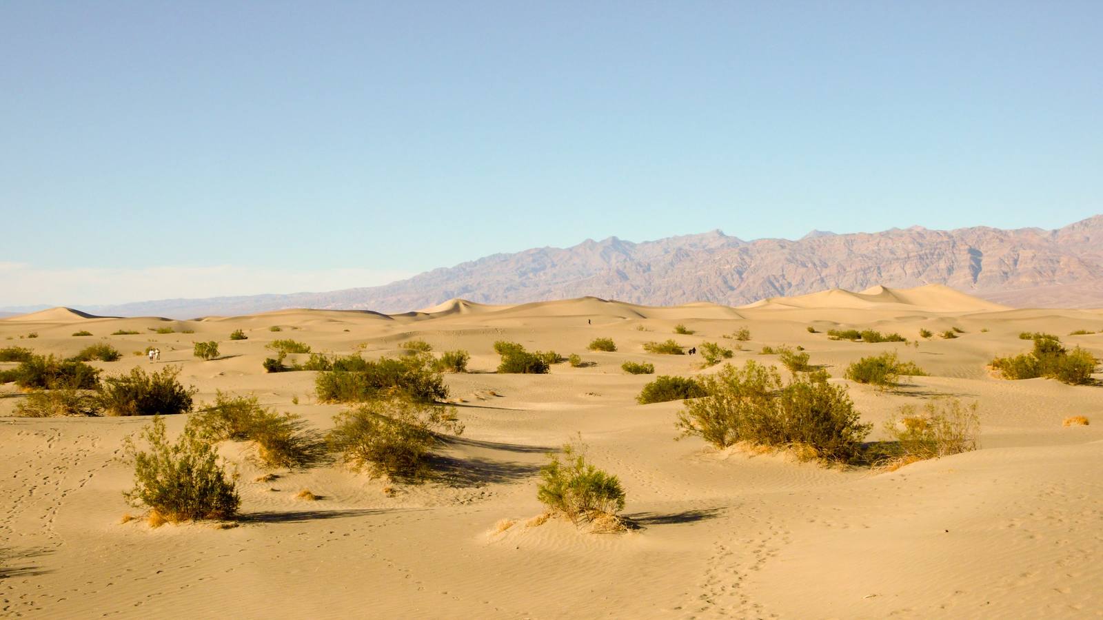
From the Colorado River crossing of Route 66 to its end on the Santa Monica Pier — Death Valley's below-sea-level basins, the gold country of the Mother Lode, the granite passes of the Sierra, and the desert California the coast never sees.
All of California, One Map
Tap any dot to discover what makes a place worth the stop.
Plan a Trip
Day-by-day plans — real drive times, honest overnights, and the permit fine print sorted before you leave.
Scenic Drives
The roads themselves — traced end to end, with the stops worth making along the way.
California 190: Across Death Valley
The road across Death Valley exists because of borax: the twenty-mule-team haul, the company that sold the scenery once the mineral ran out, and the drive from Olancha to the salt.
Old Highway 40: The Donner Pass Crossing
Forty-six miles over the pass the interstate misses — the Wašišiw summit and its petroglyphs, the tunnels Chinese crews cut by hand, the lake where the Donner Party wintered, and the 1926 arch bridge above it, then down the Truckee to Reno.
Route 66 in California: Needles to the Pacific
The Mother Road's last three hundred fifty miles: the Colorado River at Needles, the emptiest surviving pavement on the whole route, Cajon Pass, and the Pacific at the end of it.
Route 66: The Topock Crossing
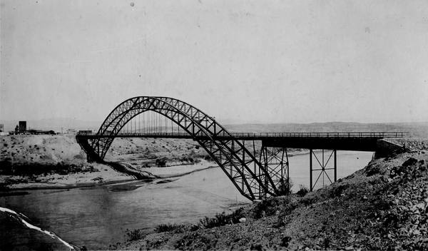
Ninety-six miles of the Mother Road's hardest crossing — Kingman over Sitgreaves Pass to Oatman, then down to the Colorado River at Topock, where three bridges, a sacred Mojave geoglyph and a chromium plume all sit on the same half mile of ground.
U.S. 395: The Eastern Sierra
The one road along the east wall of the Sierra: Payahuunadü and Manzanar, the Whitney and bristlecone spurs, Mono Lake, and Bodie at the end of thirteen miles of Bodie Road.
Regions of California
Each region gathers the parks, towns, drives, and roadside stops that define one corner of the state.
Big Bear & the Rim of the World
Yuhaaviatam country above the Citrus Belt — the Rim of the World crest from Crestline through Lake Arrowhead to Big Bear, two dams built for oranges on the valley floor, Holcomb Valley's 1860 gold, and San Gorgonio at 11,503 feet.
Death Valley & the Basin Ranges
The Timbisha homeland the maps call Death Valley — the lowest ground in North America, the Panamint wall above it, Trona's tufa spires, and an opera house in the middle of the Amargosa desert.
Eastern Sierra & Owens Valley
Payahuunadü, the land of flowing water — US-395 under the Sierra escarpment, the Alabama Hills, Manzanar's hard history, Bishop, Mono Lake's tufa towers, and the ghost town of Bodie kept in arrested decay.
Gold Country & the Northern Passes
Highway 49 through the Mother Lode — Coloma, where the Gold Rush began, the living main streets it left behind, Sacramento at the head of US-50, and the emigrant passes at Donner and Tahoe.
Joshua Tree & the Southern Deserts
Two deserts meet at Joshua Tree — Mojave high, Colorado low — with Pioneertown's film-set main street, the accidental Salton Sea, Salvation Mountain, and the badlands and dark skies of Anza-Borrego.
Los Angeles Harbor & the South Bay
Tongva sea country, where ti'ats crossed to Pimu — then the harbor Los Angeles won in Congress and built from nothing, the village it erased at Fish Harbor, and the beach towns that decided who belonged.
Riverside & the Citrus Belt
The Citrus Belt from Chino to Redlands — Maara'yam homeland, then the valley the Washington navel rebuilt. Eliza Tibbets's parent orange tree, Riverside's Mission Inn, and the labor the groves ran on.
Route 66 & the Mojave Heartland
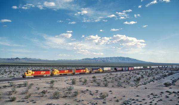
Route 66 crosses the Colorado at Needles and runs its emptiest miles — Amboy, the Kelso Depot, Calico's silver hills, and Barstow's Harvey House — through the homeland of the 'Aha Makhav, the People by the River.
Route 66 West: Cajon to the Sea
The Mother Road's last miles — down Cajon Pass into Tovaangar, the Tongva world, past the Wigwam Motel and Pasadena's Colorado Boulevard to the pier at Santa Monica, where the road runs out at the Pacific.
San Fernando & Santa Clarita Valleys
Tataviam and Tongva country behind the hills — Mission San Fernando at the village of Achoicominga, California's first gold and first oil well, and the Owens Valley water that arrives at the Cascades.
Stories from California
The histories behind the places — the people, the disasters, the inventions, and the long memory of the land.
Historical Markers
Roadside history, plaque by plaque — every marker in California, grouped by county and searchable.
Markers of California
Browse every historical marker across California — organized by county, each with its full plaque text.