Route 66: The Topock Crossing
Ninety-six miles of the Mother Road's hardest crossing — Kingman over Sitgreaves Pass to Oatman, then down to the Colorado River at Topock, where three bridges, a sacred Mojave geoglyph and a chromium plume all sit on the same half mile of ground.
The Route at a Glance
The Colorado River is the reason this crossing exists, and it was a crossing long before it was a bridge. Both banks are 'Aha Makhav country — the Mojave, the people who live along the water — and the name on the maps here is theirs. On the California side, scraped into the desert pavement some six hundred years ago, lie the parallel windrows of the Topock Maze, which the Mojave understand as the passage the souls of the dead must travel. In the 1880s the Southern Pacific laid track straight through it, destroying a figure of a man holding a snake. What survives is roughly fifteen acres of an original fifty, fenced, on the National Register since 1978, and lying within sight of the interstate for anyone who knows to look.
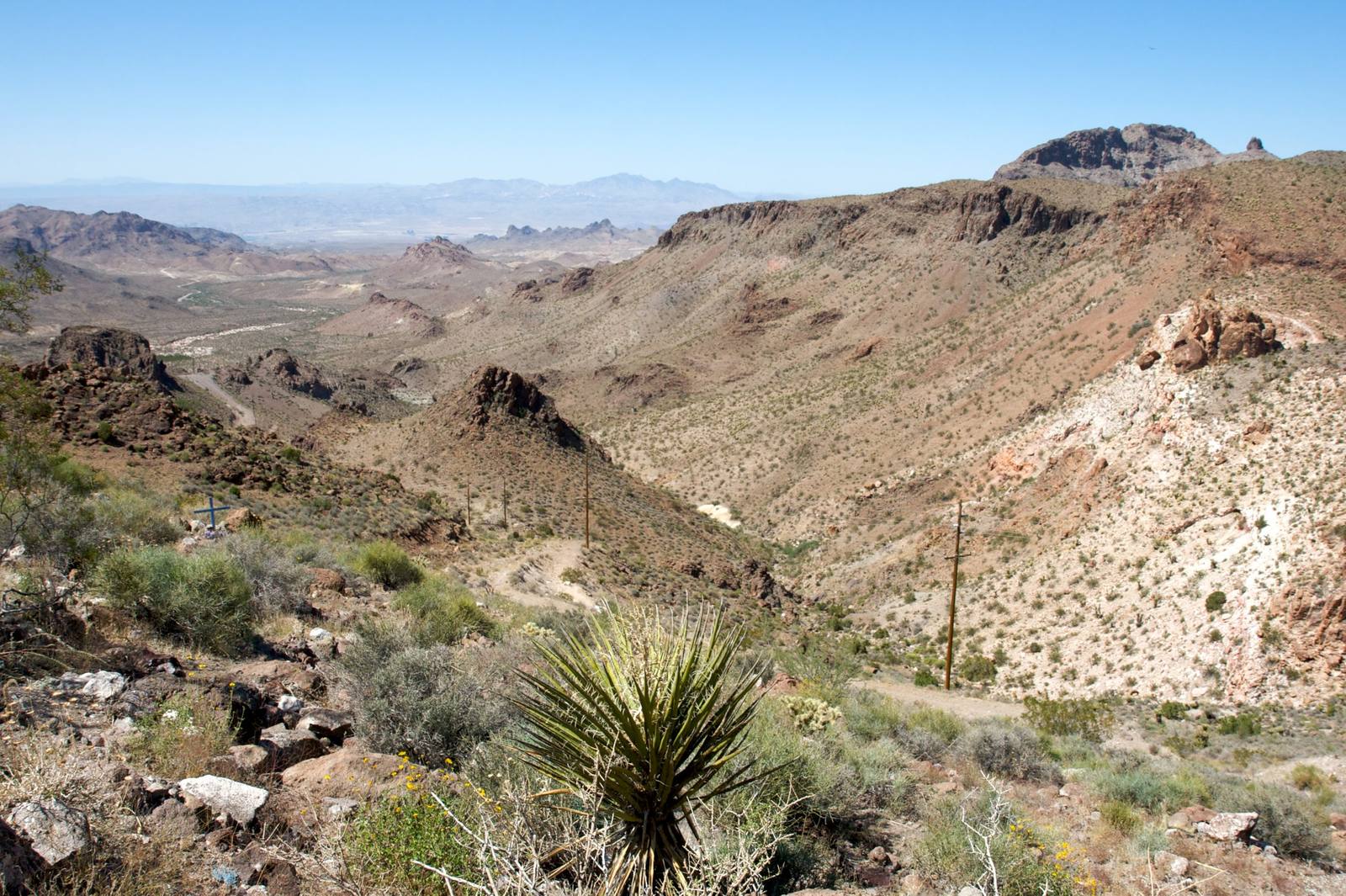
Westbound, the road earns the river. Route 66 leaves Kingman on the Oatman Highway and climbs into the Black Mountains on cliff-edge switchbacks with no guardrail and no shoulder, tops out at Sitgreaves Pass, and corkscrews down into Oatman among the burros. It is the wildest surviving pavement on the whole route and it is slow — ninety-six miles from Kingman to the far side takes the better part of three hours, and large rigs should take Interstate 40 instead. Below Oatman the grade unwinds through Golden Shores and the country flattens into the river bottom at Topock, where the desert suddenly has water in it.
Three bridges have carried this crossing, and the oldest is the one worth stopping for. The Trails Arch Bridge went up in 1915 and 1916 — a braced steel arch, a six-hundred-foot span, and part of Route 66 from the day the road was commissioned in 1926. It carried traffic until 1947, when the Santa Fe's Red Rock railroad bridge was rebuilt for cars; the I-40 span replaced that in 1966. The Trails Arch lost its deck to a natural gas pipeline and stands there still, a highway bridge that carries fuel instead of people. You have seen it: the Joads cross it in the film of The Grapes of Wrath, and it opens Easy Rider.
The gas has its own story. Twelve miles downriver, PG&E's Topock compressor station has run since 1951, and from then until 1985 its cooling towers used a hexavalent chromium additive, the wastewater going into a dry wash beside the river. The plume beneath the Maze is still being pumped and treated. The next station down that same pipeline is at Hinkley, west of Barstow, where the identical chemical produced the identical poisoning and, in 1996, a three-hundred-thirty-three-million-dollar settlement, a movie, and a name everyone knows. Nobody made a movie about this one. West of the bridge the road reaches Needles, then empties out toward Goffs and the long dry run to the coast.
The Drive, Stop by Stop
4 stops along the route, in driving order from Kingman, Arizona to Goffs, California.
- 1
- 2
- 3
- 4
That's the drive. Take your time, pull over often, and let Route 66: The Topock Crossing do what it does best.
← Explore more of Open Road Guide