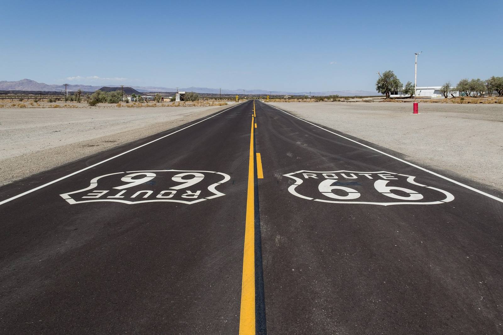
Route 66 in California: Needles to the Pacific
The Mother Road's last three hundred fifty miles: the Colorado River at Needles, the emptiest surviving pavement on the whole route, Cajon Pass, and the Pacific at the end of it.
The Route at a Glance
Every other state on Route 66 is a state the road went through. California is the one it was going to. The Mother Road crosses the Colorado at Needles with about three hundred fifty miles left to run, and for the Dust Bowl families driving west in the 1930s the arithmetic was cruel: the hardest desert on the whole route stood between them and the orange groves they had been promised. They crossed it at night, with water bags slung on the fenders.
That desert is still the best of the drive. West of Needles the old road runs as the National Trails Highway, county pavement with no interstate on it, past the near-ghost of Goffs on the pre-1931 alignment and out across the long empty middle to Amboy, where the Roy's sign still stands over Bristol Dry Lake and the black cone of Amboy Crater sits just southwest of the pumps. Then Barstow and its Harvey House, the climb through Victorville, and Cajon Pass, the hinge of the whole route, where the road tips over the rim and the desert quits.
What follows is the same highway at its opposite extreme. San Bernardino holds the corner where the McDonald brothers rebuilt their drive-in around a kitchen run like an assembly line, now the Original McDonald's Site museum, and Rialto still rents rooms in the concrete teepees of the Wigwam Motel. Foothill Boulevard threads the old citrus towns; a detour south in San Gabriel reaches Mission San Gabriel Arcangel, raised with Tongva labor on Tongva land a century and a half before any of this was a highway. Pasadena carries the route over the 1913 arches of the Colorado Street Bridge, and the last miles run out through Hollywood and Beverly Hills to the water at the Santa Monica Pier.
Here is the part California does not put on the souvenir mugs: the state asked to be rid of Route 66 first. Its highway commission requested that the number be eliminated between Needles and Santa Monica in August 1963, the national association approved that November, the shields came down from Santa Monica to Pasadena in 1964, and the rest were gone by 1974, once Interstate 40 opened through the Bristol Mountains. The road was not decertified nationally until June 27, 1985. Arizona held on to the end and then took the name back for itself in Historic Route 66; California, the destination, had stopped signing hers twenty-one years earlier and let the Mojave stretch settle into a county road. Which is exactly why so much of it is still out there, unimproved, and why this is the drive it is.
The Drive, Stop by Stop
11 stops along the route, in driving order from Needles (Colorado River) to Santa Monica Pier. 2 of them sit off the road itself — the distance is noted on each.
- 1
- 2
- 3
- 4
- 5
- 6
- 7
- 8
- 9
- 10
- 11
That's the drive. Take your time, pull over often, and let Route 66 in California: Needles to the Pacific do what it does best.
← Explore more of Open Road Guide