U.S. 395: The Eastern Sierra
The one road along the east wall of the Sierra: Payahuunadü and Manzanar, the Whitney and bristlecone spurs, Mono Lake, and Bodie at the end of thirteen miles of Bodie Road.
The Route at a Glance
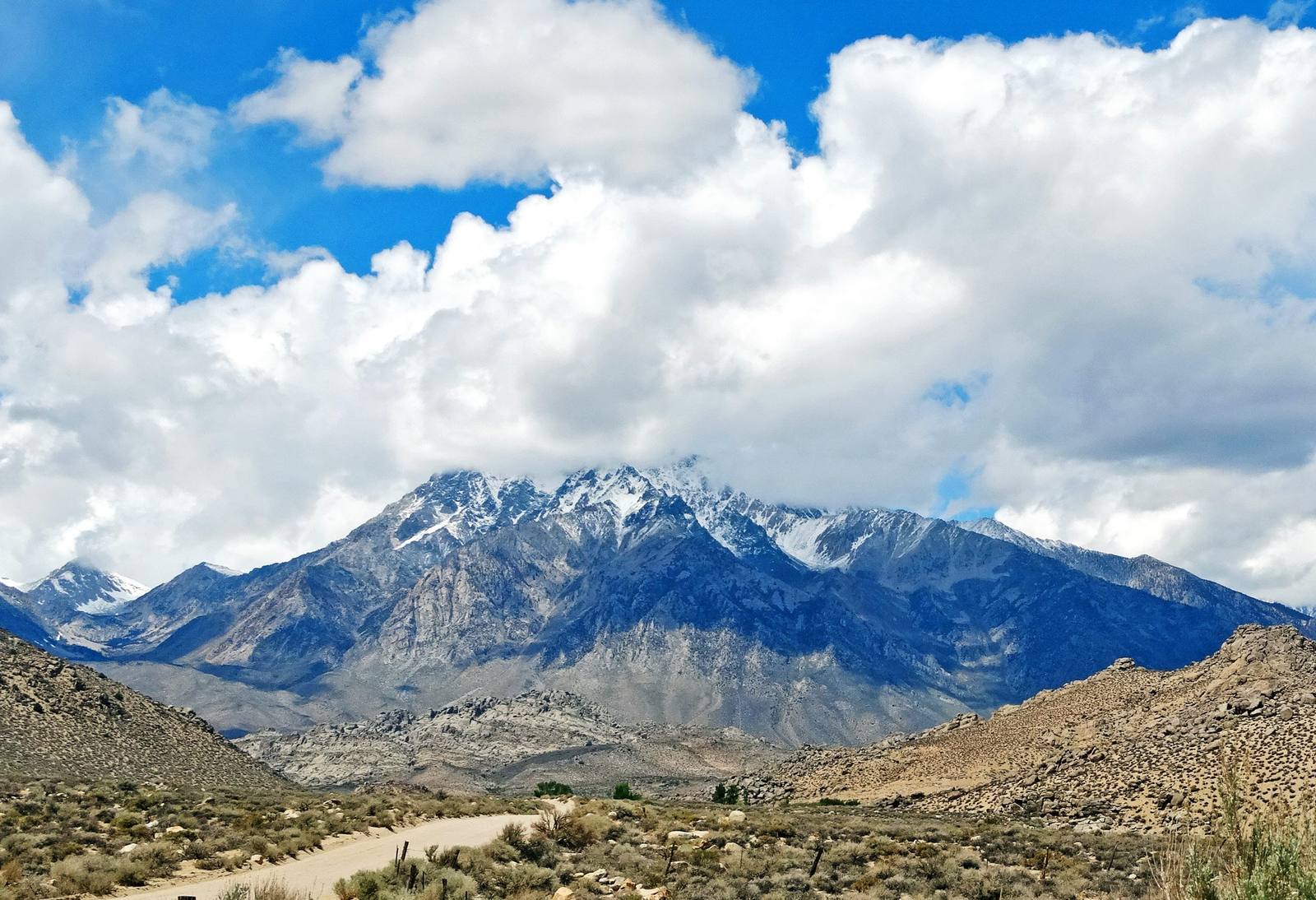
U.S. 395 runs along the base of a wall. From the dry bed of Owens Lake north into the Mono Basin, the Sierra crest stands as much as two vertical miles above the road and almost never opens: between Walker Pass at the south end of the range and Tioga Pass above Mono Lake, some hundred and seventy miles apart, exactly one paved road crosses the Sierra, and the high passes that do cross shut with the first serious snow. So this one highway carries everything. Nearly every place worth stopping for hangs off it on a spur that climbs a canyon and then quits.
The valley it runs is Payahuunadü, the land of flowing water, farmed with snowmelt ditches by the Nüümü and the Newe long before the ditches were taken and the water was sent south. Manzanar sits right on the shoulder, a concentration camp built on ground already emptied once, where the United States imprisoned more than eleven thousand Japanese Americans. Nothing else on this drive is as close to the pavement or as necessary to stop for.
The rest is spur work, and the spurs are the point. At Lone Pine a road turns west into the Alabama Hills and keeps climbing to the portal under Mount Whitney, 14,505 feet and the highest ground in the contiguous states. At Big Pine another climbs east to the Ancient Bristlecone Pine Forest on its pale dolomite ridge at ten thousand feet. Bishop does the valley's errands at 4,150 feet, and past it the road starts climbing in earnest: Sherwin Summit at 6,427, the Mammoth turnoff and the basalt colonnade of Devils Postpile, then Deadman Summit at 8,047 over the rim of the Long Valley caldera.
Then the payoff. The road crests and Mono Lake opens up below it, tufa towers standing in water three times saltier than the ocean, the Kootzaduka'a still on the basin their name comes from. A dozen miles on, the highway tops out at Conway Summit, 8,143 feet, the highest point on U.S. 395 anywhere between Mexico and Canada, with the whole Mono Basin spread out behind. From the turnoff past it, thirteen miles east and the last three unpaved, sits Bodie at 8,375 feet, a gold town of ten thousand left standing exactly as it emptied. Drive it in summer or fall. This is a north-south road with east-west weather, and the spurs close long before the highway does.
The Drive, Stop by Stop
9 stops along the route, in driving order from Olancha (Owens Lake) to Bodie State Historic Park. 6 of them sit off the road itself — the distance is noted on each.
- 1
- 2
- 3
- 4
- 5
- 6
- 7
- 8
- 9
That's the drive. Take your time, pull over often, and let U.S. 395: The Eastern Sierra do what it does best.
← Explore more of Open Road Guide