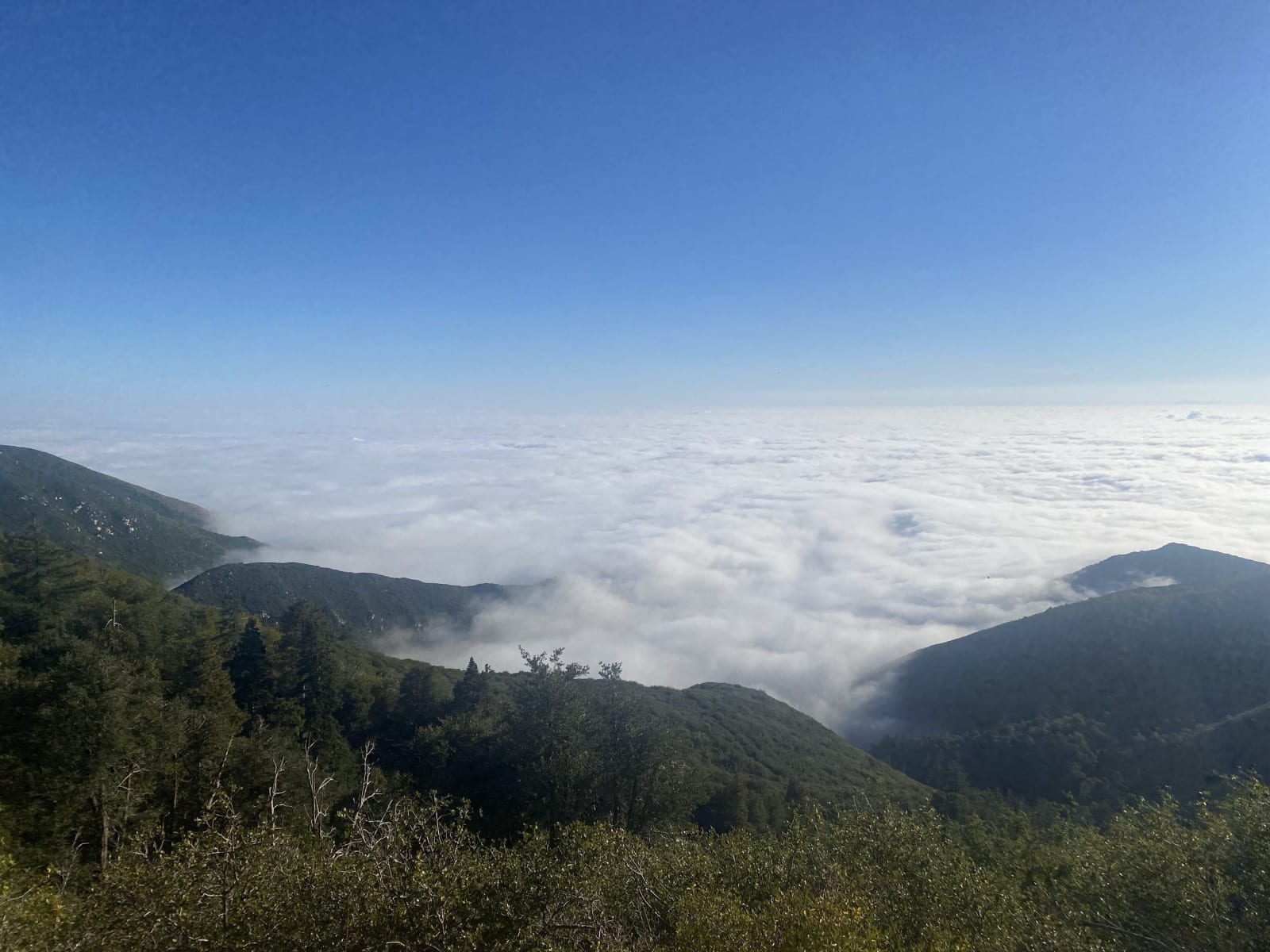
Big Bear & the Rim of the World
Yuhaaviatam country above the Citrus Belt — the Rim of the World crest from Crestline through Lake Arrowhead to Big Bear, two dams built for oranges on the valley floor, Holcomb Valley's 1860 gold, and San Gorgonio at 11,503 feet.
The San Bernardino Mountains come up off the valley floor in a single move. San Bernardino sits at about a thousand feet; Crestline, on the front face above it, sits at nearly five thousand, and Mount San Gorgonio behind the crest reaches 11,503 — the highest ground in Southern California. The road that links the mountain towns was named the Rim of the World, and for once the name is only describing what the shoulder does.
This is Yuhaaviatam country, the People of the Pines, one clan among the Maara'yam whom the Spanish filed under a single word, Serrano. They summered in the open pine up here and wintered on the floor below. In 1866 a militia raised in San Bernardino and sanctioned by the state spent thirty-two days killing them across this country. Fewer than thirty of the clan came down alive, and their descendants are the Yuhaaviatam of San Manuel Nation.
Gold turned up in Holcomb Valley in 1860, north of Big Bear, and made that hollow for a while the most populous place in the county. Loggers came up behind the miners, and the roads came up behind the timber: a wagon road cut through Waterman Canyon in 1852, Edward Daley's toll road in 1870, and eventually an automobile highway along the crest.
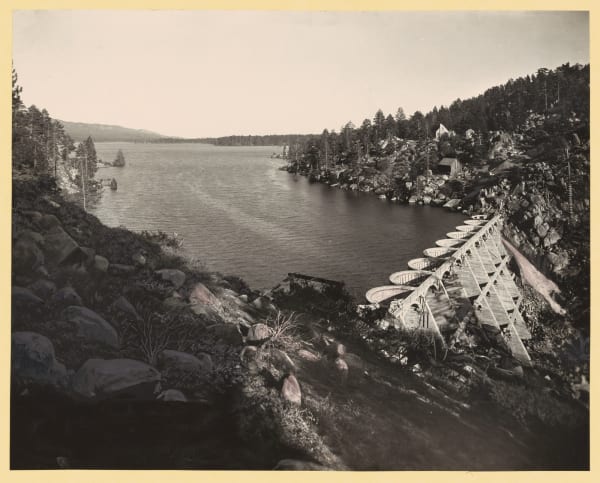
What actually shaped this mountain, though, was thirst on the floor. In 1884 Frank Brown threw a single granite arch across Bear Valley to water the Redlands groves some thirty miles below. Engineers said it would not hold; it held, and in 1912 John Eastwood replaced it with a multiple-arch dam that more than doubled the lake. West along the crest, the Arrowhead Reservoir Company began the same scheme at Little Bear in 1891 and lost. A California court ruled in 1913 that water could not be carried out of one watershed into another for irrigation, and by then the dam was already built. A Los Angeles syndicate bought the unfinished work, completed it in 1922, and sold the mountain as a resort instead.
So every lake up here is an engineering decision wearing scenery. Big Bear is the one that fed the oranges. Lake Arrowhead is the one that could not, and became a Norman village with a dance pavilion and a weekend crowd out of Hollywood. Lake Gregory at Crestline is the third, dammed with New Deal money in 1938 by another Redlands orange grower to stop the mountain's water draining off into the desert, and it became a park only after a tax revolt handed it to the county in 1977.
What to See in Big Bear & the Rim of the World
10 places across the region, grouped by what they are.
Geology & Rock Formations
Natural Areas
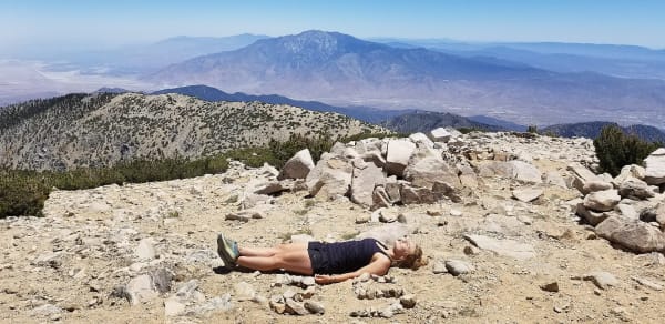
Hikes & Trails

Historic Sites
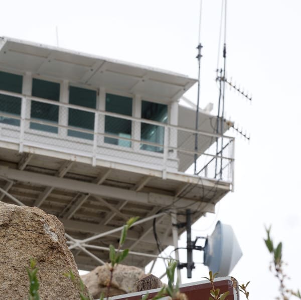
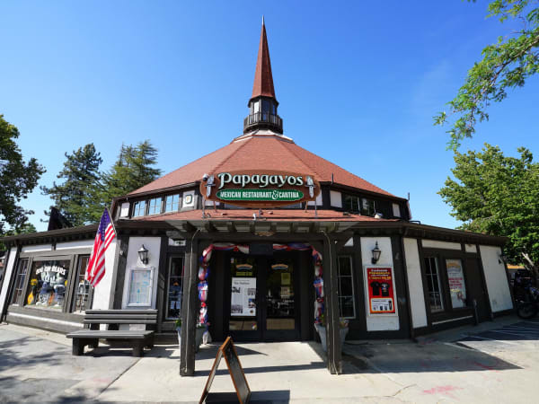
Towns & Gateways

Industry & Mining
Attractions
Stories from Big Bear & the Rim of the World
Big Bear & the Rim of the World rewards the unhurried. Pick a base, fan out, and let the country between the headline stops surprise you.
← Explore more of Open Road Guide