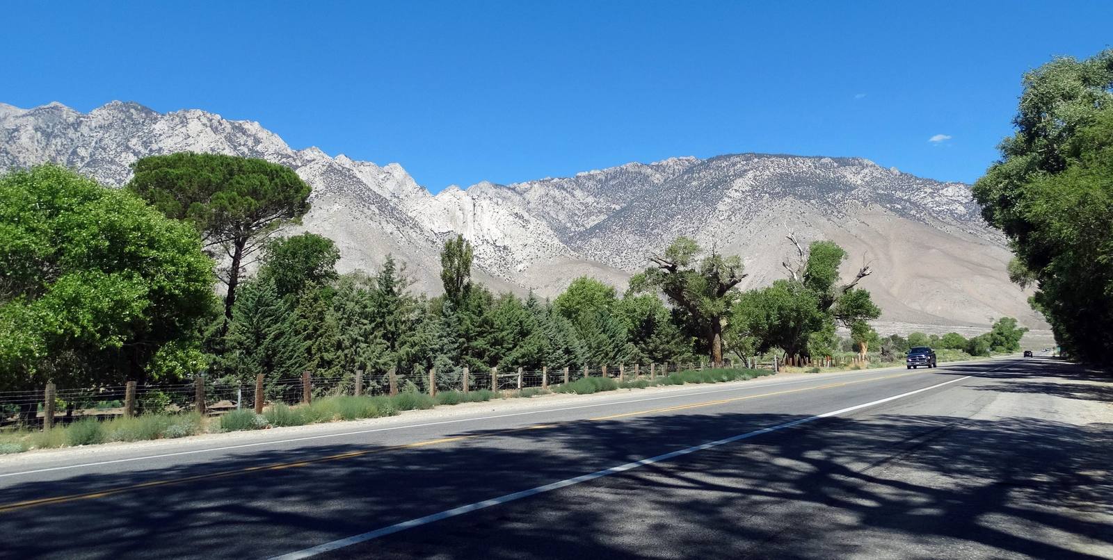
Down the eastern edge of California from the lowest ground in North America to a gold-rush ghost town at 8,375 feet — Badwater and Zabriskie, the crossing over Towne Pass, Manzanar and the bristlecones, Mono Lake, and Bodie left standing exactly where it stopped.
4 days · 605 miles · best in spring & fall
Death Valley Junction, CA (about 2 hours from Las Vegas) → Bodie State Historic Park (Bridgeport, CA)
California's eastern edge is one long trench running between the Sierra Nevada and the Nevada line, and this is the drive down the middle of it: four days from the lowest ground in North America to a gold-rush ghost town at 8,375 feet. It works because two roads share a hinge. CA 190 crosses Death Valley westbound to Olancha, U.S. 395 runs north from Olancha up the Eastern Sierra, and the whole route turns on that one junction in a town of almost nothing. What you get for it is a stretch of country with no equal for sheer range — Badwater at 282 feet below sea level and Mount Whitney at 14,505 within about eighty miles of each other, sand dunes and bristlecone pines, a steam-blast crater, the dry lake Los Angeles drank, the camp where the United States imprisoned its own citizens, and Bodie at the end. Come in spring or fall. In summer the south end of this route is dangerous, and in winter the north end is shut.
1
Day 1
Down Into It: Death Valley Junction to Furnace Creek
105 mi · about 3 hrs driving · overnight in Furnace Creek
Start where Marta Becket did, at the Amargosa Opera House in Death Valley Junction, where a dancer painted her own audience on the walls and performed to it for forty years. Then west on CA 190 into the park. Take the spur up to Dantes View first, 5,475 feet up the Black Mountains, because the rest of the route makes more sense once you have seen the valley whole from above. Drop to Zabriskie Point, check in at Furnace Creek, then run south to Badwater Basin for the last light on the salt.
2
Day 2
The Long Crossing: Furnace Creek to Lone Pine
245 mi · about 6 hrs driving · overnight in Lone Pine
The big driving day, so start early. Mesquite Flat near Stovepipe Wells is worth an hour at first light, and then it is fifty-five miles north to Ubehebe Crater, a half-mile steam-blast hole at the head of the valley, and fifty-five back. Racetrack Playa lies twenty-seven miles further on a road that eats tires, and it is a separate day in a different vehicle. Then CA 190 west over Towne Pass, down through Panamint Valley and up again, out of the park to Owens Lake, the bed Los Angeles drank. Sleep in Lone Pine under the Sierra wall.
3
Day 3
Under the Wall: Lone Pine to Bishop
130 mi · about 4 hrs driving · overnight in Bishop
U.S. 395 takes over here. Give the morning to the Alabama Hills, the weathered granite that has stood in for every frontier Hollywood ever needed, with Mount Whitney directly above it: the highest ground in the lower forty-eight, about eighty miles from the lowest, which you stood on two days ago. Ten miles north is Manzanar, where the United States imprisoned more than ten thousand of its own citizens. Give it real time. If the afternoon holds, climb from Big Pine to the Ancient Bristlecone Pine Forest. Night in Bishop.
4
Day 4
The North End: Bishop to Bodie
125 mi · about 3.5 hrs driving · overnight in Bridgeport
Devils Postpile is the morning if you want it, but be honest about the arithmetic: the shuttle from Mammoth is mandatory in season unless you are through before seven, and the Postpile and Bodie will not both fit into one day at any pace worth driving. The alternative is a slower run north to Mono Lake and the South Tufa towers, then State Route 270 east to Bodie — ten miles of pavement, three of dirt, and a gold town of two thousand buildings cut by fire to about a tenth of itself, held in arrested decay exactly as it was left. Closing time is enforced.
The drives this trip follows
Each one is traced end to end on its own page, with every stop worth making along the way.