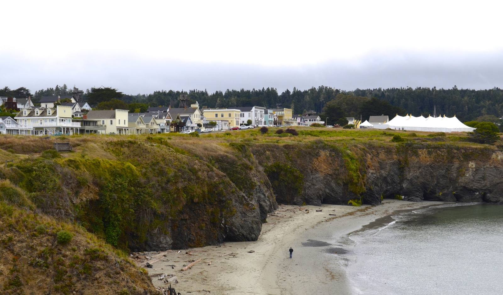
Mendocino seen across a cove from the headlands: a row of white and pale wooden buildings along the top of grassy sandstone cliffs, a curve of sand and shallow water below, and dark forest on the ridge behind under a grey sky.
David McSpadden / CC BY 2.0 via Wikimedia Commons
California · Region

Sonoma & Mendocino Coast

Kashaya Pomo and Pomo shoreline from Bodega Bay to Rockport — Jenner, Fort Ross, Sea Ranch, Point Arena, Mendocino and Fort Bragg, the doghole coves the lumber schooners worked, and a coast Californians won back for walking.

9 places to explore

The coast north of the Russian River belonged to the Kashaya Pomo, whose village of Metini stood where the Russian-American Company built Fort Ross in 1812. Beyond them lived Central and Northern Pomo communities, and north of the Noyo the Coast Yuki. In 1856 the federal government marked out a reservation of twenty-five thousand acres between the Noyo and Ten Mile rivers and brought people to it from as far away as Eureka and Chico. It closed ten years later, and its land was sold off at a dollar and a quarter an acre.

From Bodega Bay to Rockport, Highway 1 is the coast at its most stubborn. It crosses the Russian River at Jenner, climbs the cliffs past Fort Ross and Salt Point, runs the long meadows of Sea Ranch and Gualala, then reaches Point Arena and the old lumber headlands of Mendocino and Fort Bragg. Every few miles there is a cove where schooners once moored under the cliff and took redwood aboard by chute or wire. The captains called them doghole ports — barely big enough, the joke went, for a dog to turn around in.

Much of the coast you can walk on here was argued for. In the 1960s Sea Ranch began building along ten miles of shoreline with no way for the public to reach the beach. The fight against it helped put Proposition 20 on the 1972 ballot, which created the Coastal Commission, and in 1980 the Legislature made Sea Ranch open five trails to the sea. At Fort Bragg the bluffs sat behind mill gates for more than a century; the mill closed in 2002, and Noyo Headlands Park opened on the site in 2015.

At Rockport the road gives the shore up. The coast north of there was too steep to build on, so Highway 1 turns inland over the ridge and ends at Leggett, on US-101.

What to See in Sonoma & Mendocino Coast

9 places across the region, grouped by what they are.

Natural Areas
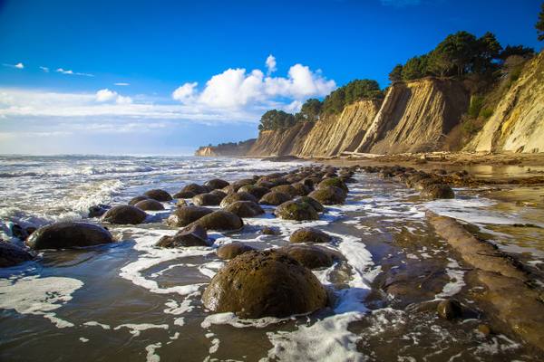
Rows of round sandstone concretions lying in the grooves of a wave-washed rock shelf at Bowling Ball Beach, foam running between them, with tall pale cliffs topped by trees curving away under a blue sky.

Bowling Ball Beach

Point Arena

Rows of stone spheres laid out on a shelf of rock that may have travelled hundreds of miles up the coast.

View details →
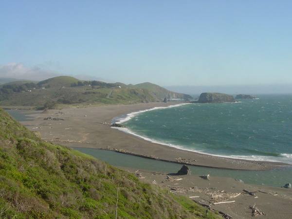
The mouth of the Russian River seen south from the Jenner cliffs: a long sandbar curving across from Jenner Beach toward Goat Rock Beach, the river backed up behind it, and the bulk of Goat Rock on the far shore with Arched Rock offshore.

Goat Rock and the Russian River Mouth

Jenner

A headland blasted for a jetty that never kept the river open, at the mouth where harbor seals haul out.

View details →
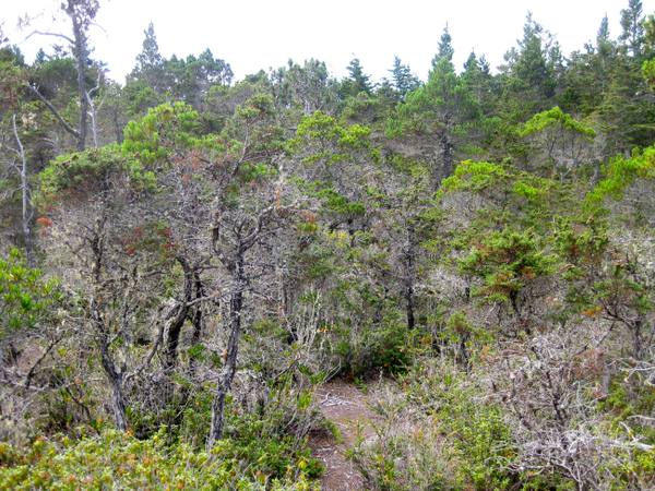
Stunted pines and cypress on the top terrace of the Jug Handle staircase, thin grey-barked trunks only a little taller than a person crowded in a dense pygmy forest, a narrow trail entering at left.

Jug Handle Ecological Staircase

Caspar

Five steps up from the beach, each about a hundred thousand years older than the last, ending in a forest of century-old trees no taller than a person.

View details →
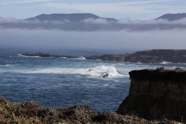
A dark bluff dropping into surf on the Stornetta Public Lands near Point Arena, low reefs breaking offshore, and a bank of fog lying along the coast beneath a ridge of mountains.

Stornetta Public Lands

Point Arena

The first piece of the California Coastal National Monument a person could actually walk on.

View details →

Historic Sites

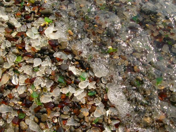
Close view of wet pebbles at Glass Beach, most of them rounded fragments of sea glass in clear, white, brown and green, with a film of surf washing over one corner.

Glass Beach

Fort Bragg

Sixty years of Fort Bragg's garbage, ground down by the surf into a beach its visitors have nearly picked clean.

View details →
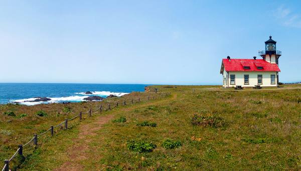
Point Cabrillo Light Station on its grassy headland: the white building with a red roof and the lantern rising from its seaward end, a fenced path running toward it and the ocean and offshore rocks at left.

Point Cabrillo Light Station

Mendocino

A 1909 light on the headland where a China trader's wreck set off the Mendocino lumber boom.

View details →
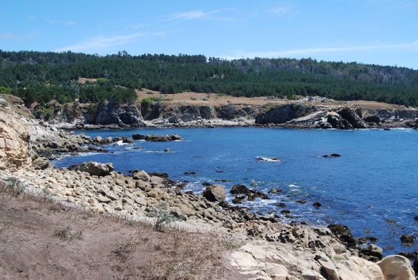
Gerstle Cove at Salt Point under a clear sky: blue water ringed by pale weathered sandstone, rocky ledges in the foreground and a line of dark conifer forest above the low bluffs across the cove.

Salt Point and Gerstle Cove

Jenner

A cove where sandstone for San Francisco's streets went aboard schooners, on a point named for the salt the Kashaya Pomo came for.

View details →
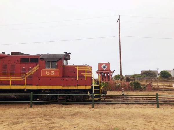
A red and yellow California Western diesel locomotive numbered 65 standing on the tracks at the Fort Bragg depot, a water tank and low buildings beyond it under a white sky.

Skunk Train (California Western Railroad)

Fort Bragg

A logging railroad from 1885, named for the smell of the motorcars it put on in 1925.

View details →
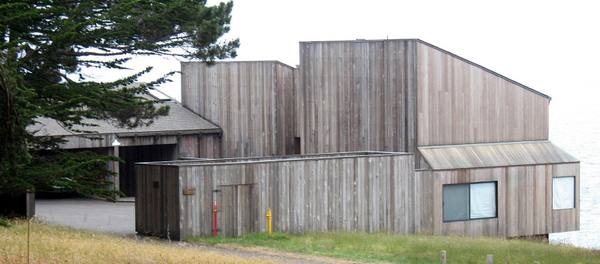
Condominium One at The Sea Ranch: a cluster of tall timber volumes clad in vertical weathered redwood boards with single-pitch roofs, set on a meadow beside cypress trees.

The Sea Ranch

Gualala

A community planned around a sheep ranch's windbreaks, its first building now on the National Register.

View details →

Scenic Drives through Sonoma & Mendocino Coast

Scenic Byway

Highway 1: The North Coast

Two hundred and fifteen miles of two-lane coast from the Golden Gate to Leggett — Muir Woods and the San Andreas rift, Point Reyes, the Russian River mouth, Salt Point's quarried cove, the Sea Ranch, Point Arena and the lumber headlands of Mendocino and Fort Bragg.

215 mi · 6 hrs

Stories from Sonoma & Mendocino Coast

History

Down the Wire

There was no harbor on the Mendocino and Sonoma coast, so for the better part of a century its lumber went out by gravity and cable: slid board by board down an apron chute to a schooner rolling under the cliff, and later sent out a sling at a time along a wire run to a ship at its mooring.

3 min read

Sonoma & Mendocino Coast rewards the unhurried. Pick a base, fan out, and let the country between the headline stops surprise you.

← Explore more of Open Road Guide