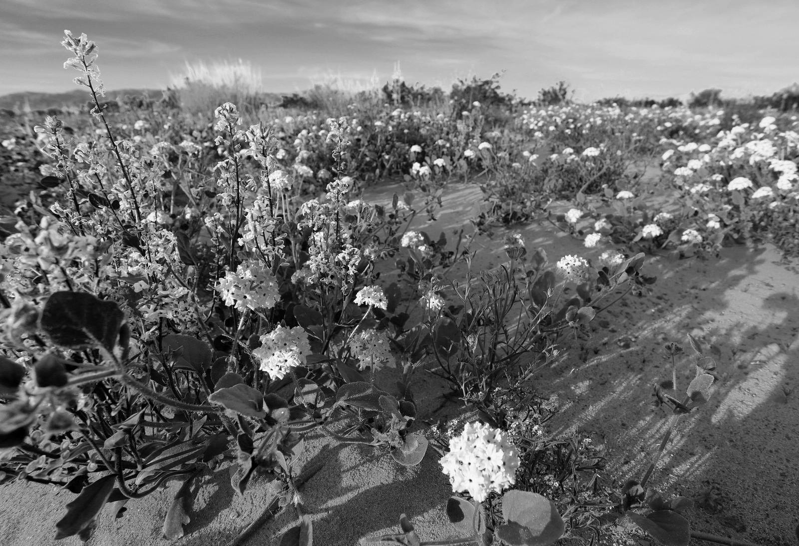
Route 66 & the Mojave Heartland
Route 66 crosses the Colorado at Needles and runs its emptiest miles — Amboy, the Kelso Depot, Calico's silver hills, and Barstow's Harvey House — through the homeland of the 'Aha Makhav, the People by the River.
Before the highway, there was the river. The 'Aha Makhav — the People by the River, written Mojave by everyone who came later — farmed the Colorado's floodplain at this crossing for centuries, planting in the silt the spring floods left behind. Even the desert's name is theirs: it comes from their own word tied to the stone pinnacles above the river that newcomers called the Needles. The Nüwü, the Chemehuevi, ranged the dry country beyond the banks. Every road that ever mattered here — the wagon tracks, the Santa Fe rails, Route 66, then Interstate 40 — crossed the river where people already knew the way.
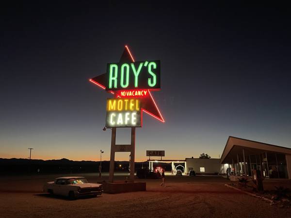
West of Needles, Route 66 runs some of its longest unbroken old alignments anywhere, two lanes of cracked tar through creosote flats where the towns thinned to a gas pump and a name: Goffs, Essex, Ludlow, and Amboy, where the Roy's Motel sign still stands against the sky. This was the stretch the Dust Bowl families feared most — the last hard test before the promised land, crossed at night with water bags slung on the fenders. Steinbeck wrote this desert into The Grapes of Wrath.
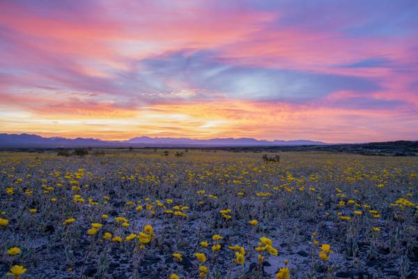
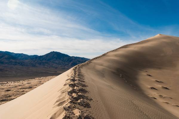
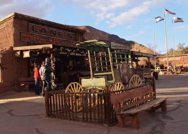
North of the old road, the Mojave National Preserve holds the deep desert at its best — the Kelso Dunes booming underfoot, the restored Kelso Depot, and one of the largest Joshua tree forests anywhere. At the region's western edge the silver camp of Calico climbs its striped hills, and Barstow — a railroad town before it was a highway town — keeps the Casa del Desierto, one of the grand Harvey Houses, above its switching yards. This is the emptiest country Route 66 ever crossed, and the least changed. Fuel up in Needles or Barstow and treat every open gas station between them as a gift; the old road offers long silences and little else, which is the point.
What to See in Route 66 & the Mojave Heartland
8 places across the region, grouped by what they are.
Geology & Rock Formations
Natural Areas
Historic Sites
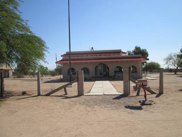
Towns & Gateways
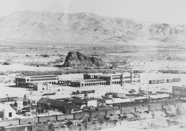
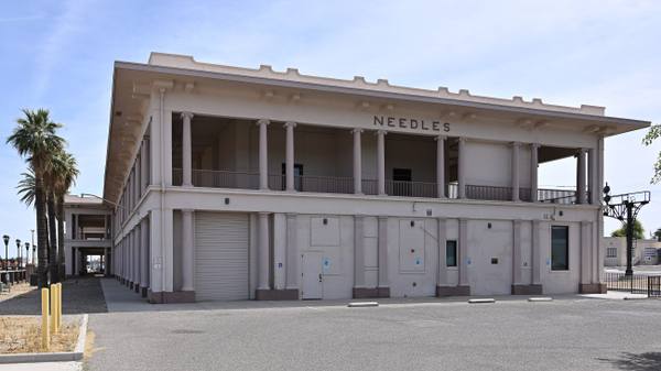
Architecture
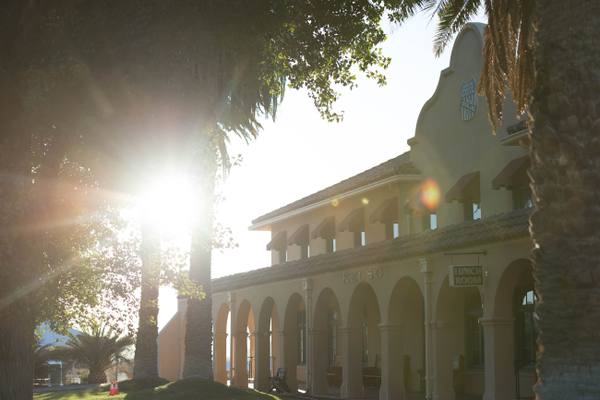
Roadside Stops
Scenic Drives through Route 66 & the Mojave Heartland
Route 66 in California: Needles to the Pacific
The Mother Road's last three hundred fifty miles: the Colorado River at Needles, the emptiest surviving pavement on the whole route, Cajon Pass, and the Pacific at the end of it.
Route 66: The Topock Crossing
Ninety-six miles of the Mother Road's hardest crossing — Kingman over Sitgreaves Pass to Oatman, then down to the Colorado River at Topock, where three bridges, a sacred Mojave geoglyph and a chromium plume all sit on the same half mile of ground.
Stories from Route 66 & the Mojave Heartland
Route 66 & the Mojave Heartland rewards the unhurried. Pick a base, fan out, and let the country between the headline stops surprise you.
← Explore more of Open Road Guide