Old Highway 40: The Donner Pass Crossing
Forty-six miles over the pass the interstate misses — the Wašišiw summit and its petroglyphs, the tunnels Chinese crews cut by hand, the lake where the Donner Party wintered, and the 1926 arch bridge above it, then down the Truckee to Reno.
The Route at a Glance
The Wašišiw — the Washoe — were crossing this summit long before it had a name anyone wrote down. Their homeland runs from the Sierra crest down through the Truckee, Carson, and Walker drainages, and the lake a few miles south of here is its center. On the glacier-polished granite beside the old road are more than two hundred petroglyphs — circles, wavy lines, zigzags, an occasional stick figure or animal track — pecked out with hammerstones somewhere between fifteen hundred and four thousand years ago. Nobody claims to read them. The summit was a summer meeting ground, and what crossed it went both directions: shells, obsidian, and acorns eastward; dried fish from the desert lakes back west. At the far end of this drive, in the Truckee Meadows, Wašišiw country meets Numu — Northern Paiute — country along the river.
Here is the thing the maps will not tell you: Interstate 80 does not cross Donner Pass. It takes the Sierra crest at Euer Saddle, about two miles north of it. The pass itself, a shade over seven thousand feet, is carried by the road the interstate replaced — Donner Pass Road, signed US 40 until the mid-1960s, the Lincoln Highway before that, and a wagon track before that. This drive takes the old road over the top and the interstate down the other side, which is the only honest way to do it.
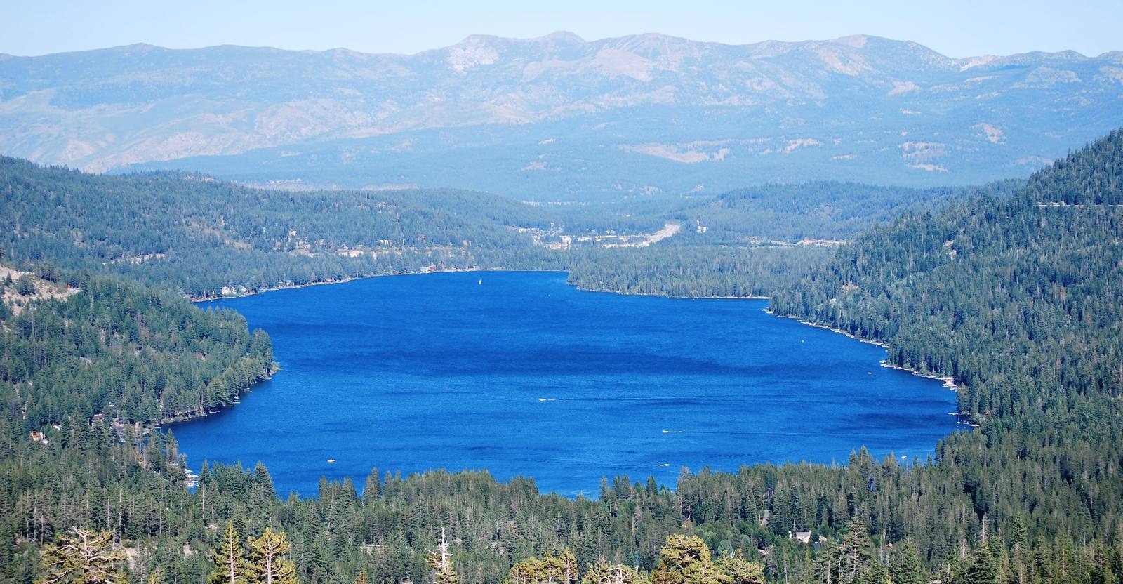
The wagon track is why the name is famous. Donner Memorial State Park sits at the east end of the lake, on ground where a party bound for California in 1846 arrived in late October to find the pass already shut and built cabins to wait it out. Of roughly eighty-seven people caught by the snow, fewer than half walked out.
Uphill and west, the Summit tunnels run through the granite the Central Pacific had to get past in 1867 — bored by hand at about fourteen inches a day, overwhelmingly by Chinese crews, who struck that June for shorter shifts in the bores and were starved back to work in eight days. Tunnel 6 is open to anyone with a real flashlight and no objection to the dark.
The best of the driving is the climb between the lake and the top. The Rainbow Bridge — a concrete arch finished in 1926, built with a curve and a grade at the same time, the first of its kind — hangs on the wall above Donner Lake, and the pull-offs above it are why people still come. The road went unplowed until 1931, and above the lake it still does: the pass gates shut for the winter while the interstate stays open.
Past Truckee the drive falls out of the granite, down the Truckee River canyon into the meadows where Reno began as a toll bridge and became a city when the Central Pacific arrived in 1868. Forty-six miles, one crest, and three centuries of different answers to the same problem.
The Drive, Stop by Stop
3 stops along the route, in driving order from Soda Springs, California to Reno, Nevada.
- 1
- 2
- 3
That's the drive. Take your time, pull over often, and let Old Highway 40: The Donner Pass Crossing do what it does best.
← Explore more of Open Road Guide