
Moab & Canyon Country
Utah's red-rock basecamp on the Colorado River — Arches, Canyonlands, and a dense web of overlooks, river roads, and slickrock around the town of Moab.
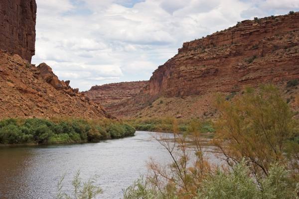
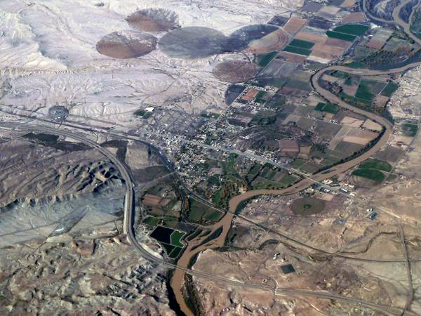
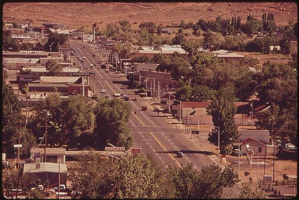
Moab is a small town with an outsized job: it is the basecamp for the most concentrated stretch of red-rock scenery in the country. Set on the Colorado River in southeastern Utah and surrounded on three sides by national parks, canyons, and slickrock, Moab is where most of canyon country begins — a former uranium-mining town that reinvented itself as the mountain-biking and four-wheeling capital of the West, and the gateway to two of Utah's five national parks.
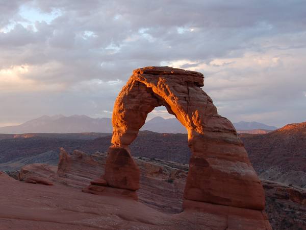
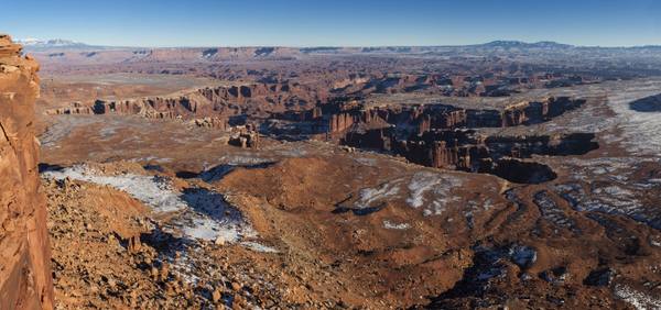
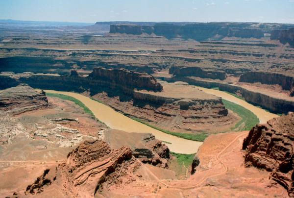
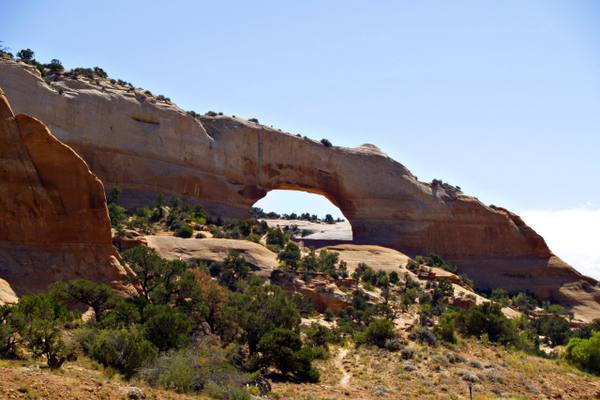
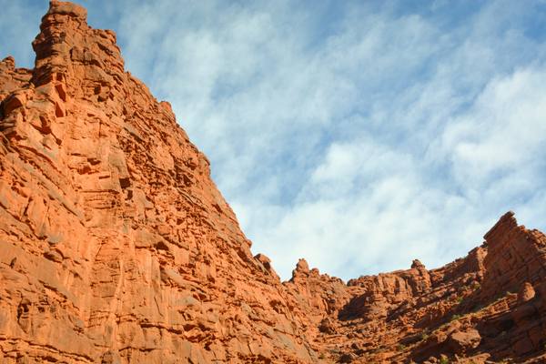
Those two parks are the headline. Arches National Park, just north of town, holds the densest collection of natural stone arches on Earth — more than 2,000 of them, including the free-standing span of Delicate Arch that ended up on the state's license plate. Canyonlands, larger and wilder, splits into districts carved by the Colorado and Green rivers; its Island in the Sky mesa drops away on every side into a thousand feet of layered canyon. Nearby, Dead Horse Point State Park delivers the single most photographed overlook of the Colorado's gooseneck bends.
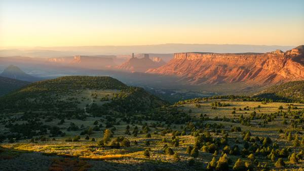
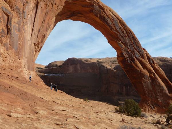
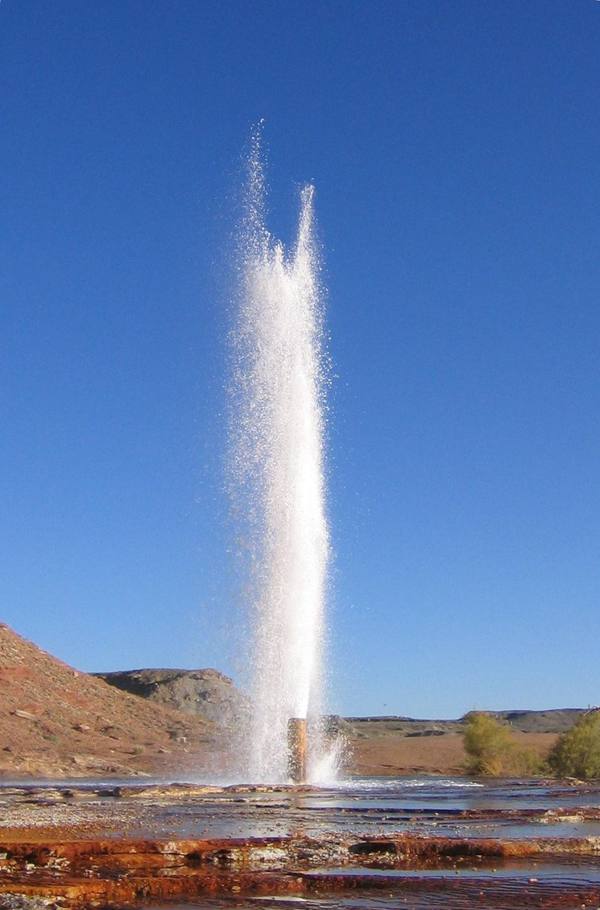
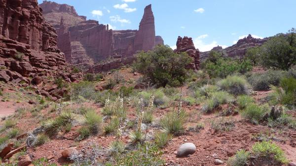
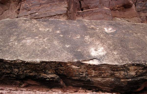
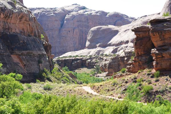
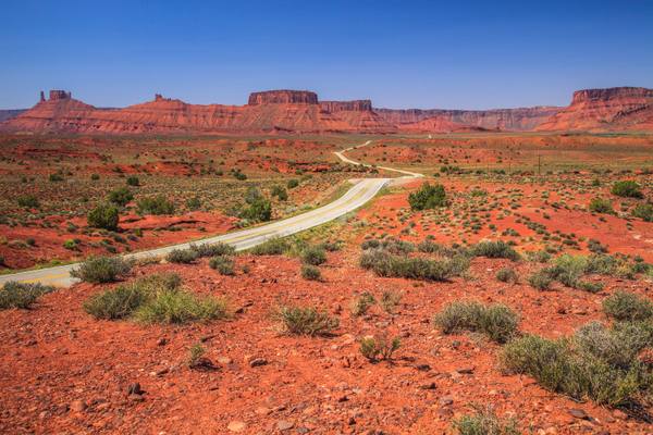
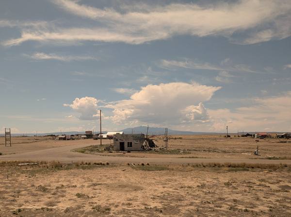
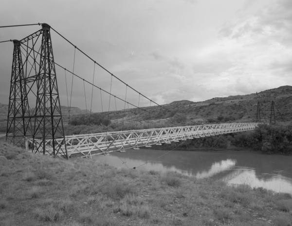
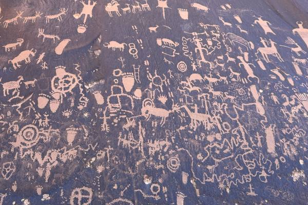
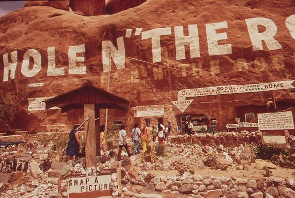
But the country around Moab rewards the side roads as much as the parks. East of town, State Route 128 leaves the highway and follows the Colorado upstream beneath the spires of Fisher Towers and the red walls of Castle Valley — one of the most beautiful drives in the state. Short trails lead to Corona Arch and into the cottonwood-shaded depths of Grandstaff Canyon; roadside slabs hold dinosaur tracks along Potash Road and Ancestral Puebloan rock art at Newspaper Rock. The human history runs from the ghost town of Cisco out on the old highway to the roadside kitsch of Hole N the Rock south of town.
It is high desert, which means it runs hot: summer midday temperatures regularly clear 100 degrees, and spring and fall are the seasons that make the place. But for sheer density of things worth stopping for — parks, arches, overlooks, rivers, rock art, and the roads between them — no corner of Utah packs in more than the country around Moab.
What to See in Moab & Canyon Country
19 places across the region, grouped by what they are.
Geology & Rock Formations
Natural Areas
Hikes & Trails
Historic Sites
Towns & Gateways
Roadside Stops
Scenic Drives through Moab & Canyon Country
Stories from Moab & Canyon Country
Moab & Canyon Country rewards the unhurried. Pick a base, fan out, and let the country between the headline stops surprise you.
← Explore more of Open Road Guide