The Story
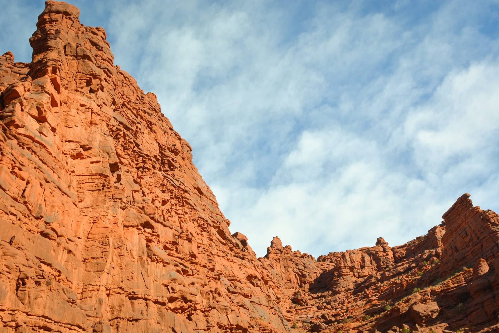
Just past mile 20 on UT-128, a signed dirt road drops south off the highway into Onion Creek, a colorful, deep-cut canyon you drive rather than hike. The road follows the creek bed and crosses the water again and again — the BLM counts twenty-seven crossings — winding between walls streaked with the reds, greens, and grays of the mineral beds the creek has carved through, with the spires of Fisher Towers and the bulk of the La Sal Mountains filling the windshield as you climb.
In dry weather it is a gentle drive that a high-clearance car can manage at a crawl, and that accessibility is the point: it is one of the few backcountry roads near Moab that asks for no serious four-wheel-drive rig and no particular nerve, only a willingness to splash through shallow water and take it slow. After rain the calculus changes. The creek that is usually a trickle can run deep, the climb out of the canyon at the upper end turns slick, and flash floods are a real hazard in a drainage this narrow — so the rule is simple: do not start in if there are storms anywhere in the forecast, and turn around rather than gamble on a crossing that looks higher than it did on the way up.
Most visitors drive in a few miles, take in the canyon, and come back out the way they came. The road eventually connects to rougher four-wheel-drive routes and the Kokopelli Trail beyond, but that is a different and far more committing trip. Stay on the main road, resist the urge to drive in the creek except where you have to cross it, and treat the whole thing as a slow scenic detour rather than a destination — it sits about a mile before the Fisher Towers turnoff, and the two make an easy pair.
Visitor Info
On the Map
A story featuring this place
Go deeper into the history and character of this stop
Nearby
The closest stops worth working into your route
Historical markers nearby
Roadside plaques and monuments within a short detour