Central Utah
The heartland between the Wasatch Front and the red-rock south — pioneer towns along I-15, Cove Fort, Big Rock Candy Mountain, Fish Lake, and the Manti Temple.
This is the broad middle of the state, the country most travelers only blow through at seventy miles an hour on their way to somewhere else — the long I-15 and US-89 corridors stitching the Wasatch Front to the southern red rock. But the heartland rewards a slower look, in pioneer towns, high cool mountains, and a handful of genuine curiosities.
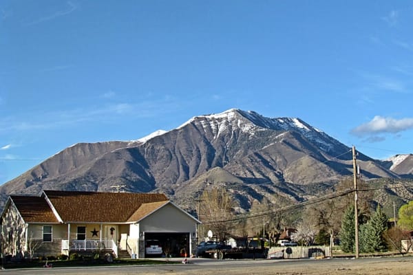
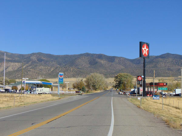
Along the interstate, the old farm towns line up beneath the peaks: Nephi, at the foot of Mount Nebo, the highest summit in the entire Wasatch Range; Scipio on its little lake; and Beaver, a tidy ranching town famous for its cheese and, improbably, as the birthplace of both the outlaw Butch Cassidy and Philo Farnsworth, the father of television. Where I-15 meets I-70 stands Cove Fort, a squat fortress of black volcanic rock built in 1867 and preserved whole, down to the heavy wooden doors.
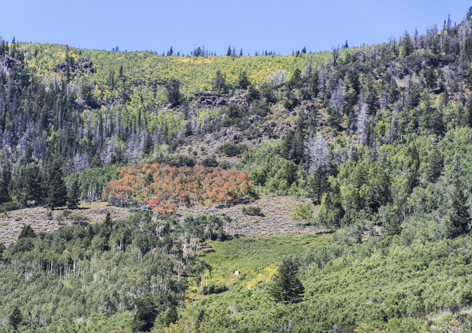
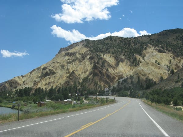
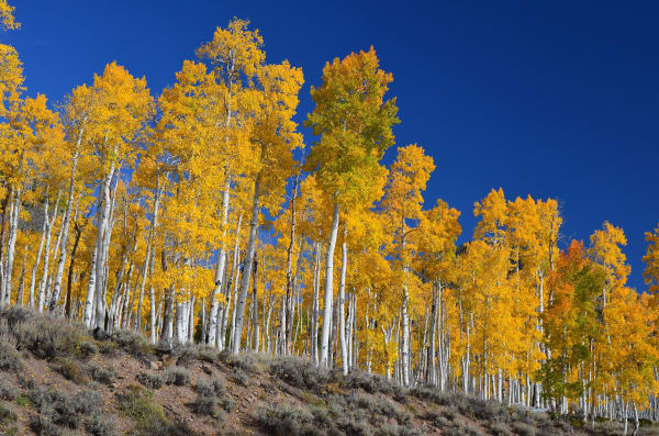
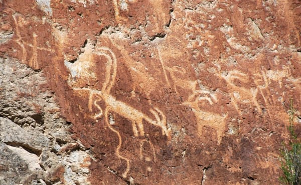
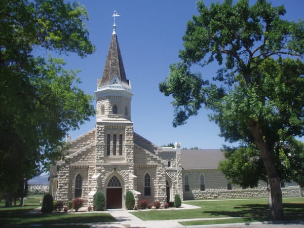
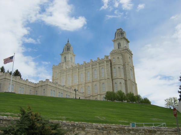
The back roads are better still. Up Marysvale Canyon glows the yellow-and-orange hill of Big Rock Candy Mountain, named for the old hobo ballad about a paradise of lemonade springs. Nearby, Fremont Indian State Park was born when highway crews cutting I-70 unearthed the largest Fremont village ever found, and its museum and canyon walls now hold the rock art they left behind. East of there, Fishlake National Forest cradles Utah's largest mountain lake and Pando — a single quaking aspen of some 47,000 trunks sharing one vast root system, among the largest living things on earth. And over in the green Sanpete Valley, the cream-colored Manti Temple, finished by pioneer hands in 1888, presides from its hill beneath the forested plateau of the Manti-La Sal National Forest.
Come for the drive; stay for the pioneer forts, the singing mountain, and the oldest forest you will ever walk through.
What to See in Central Utah
24 places across the region, grouped by what they are.
Geology & Rock Formations
Natural Areas

Hikes & Trails
Historic Sites

Towns & Gateways
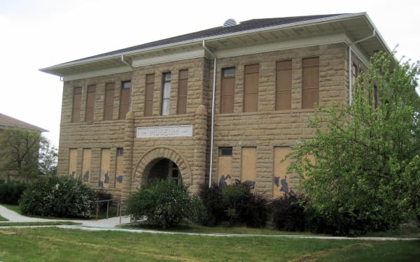
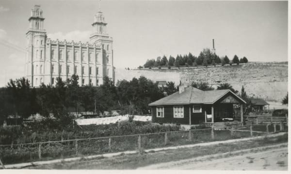
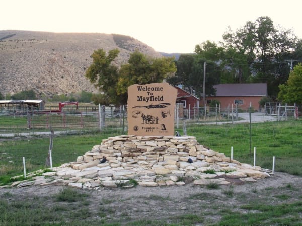
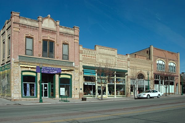
Architecture
Scenic Drives through Central Utah
Highway 20
Twenty unsigned miles between I-15 and US-89 over Bear Valley — the Old Spanish Trail crossing that carried Panguitch's founders and the Quilt Walk of 1864.
Nebo Loop Scenic Byway
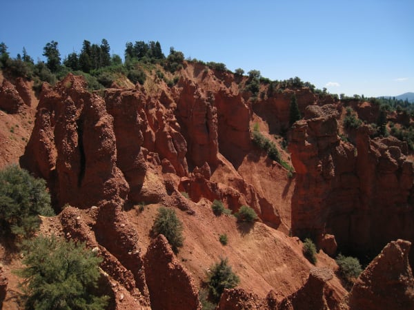
Thirty-eight winding miles over the back of Mount Nebo, the highest peak in the Wasatch — a CCC-built byway from Payson to Nephi, past alpine lakes, a 9,300-foot overlook, and a pocket of red-rock hoodoos. Closed in winter, unforgettable in fall.
U.S. 50: The Great Basin Crossing
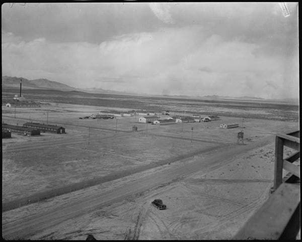
The far end of the Loneliest Road: 150 empty miles from Ely across the Great Basin to Delta and the Topaz camp.
US-89 Heritage Highway
Forty-some miles down the floor of Sanpete Valley, US-89 threads the best-preserved string of pioneer Mormon towns in Utah — the "Little Denmark" heart of the Mormon Pioneer National Heritage Area, from Fairview's Ice Age mammoth past Manti's 1888 temple to Gunnison's century-old Casino Star Theatre.
Stories from Central Utah
The Fault Under Everything
Most of Utah lives on the Wasatch Front because one crack in the crust raised the mountains, dropped the valleys, cut the benches the cities are terraced onto, and warms the springs — and the same crack is the largest earthquake hazard in the interior West, quiet now for a very long time.
Where One Tree Ends
Every gold aspen hillside in Utah is a handful of giant, ancient, single organisms — and the patchwork of autumn color is a map of where one stops and the next begins. They are also quietly disappearing.
The Store That Tried to Secede from the Economy
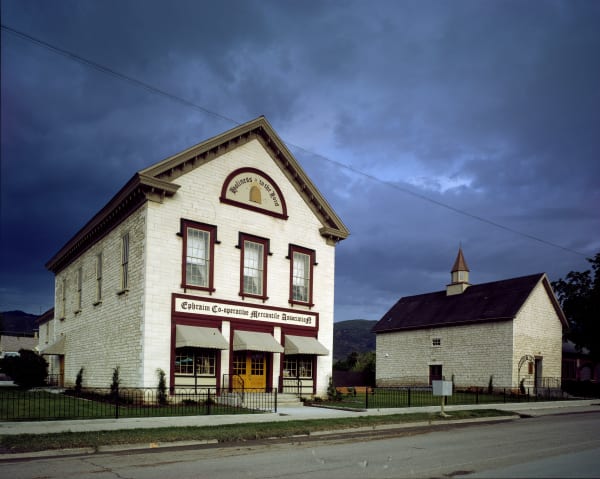
Brigham Young built a network of cooperative stores to wall Utah off from American capitalism. The one in Ephraim outlived the experiment — and ended up a co-op again.
The Small Print at the Side of the Road
Utah's historical markers carry two stories: the one on the front, and the one at the bottom — a hundred and twenty-five years of daughters, sons, counties, towns, and one museum deciding what deserved bronze.
The People the Valley Was Named For
Sanpete is a settler's spelling of San Pitch — the Ute people whose homeland this was, and whose displacement set off the longest, hardest war in Utah's history.
The Valley They Called Little Denmark
How a wave of Scandinavian converts settled Sanpete in the 1850s and built a stretch of Utah that still half-belongs to the old country.
The Roads the Depression Built
How three million out-of-work young men built the mountain roads Utah still drives on.
Central Utah rewards the unhurried. Pick a base, fan out, and let the country between the headline stops surprise you.
← Explore more of Open Road Guide