The Story
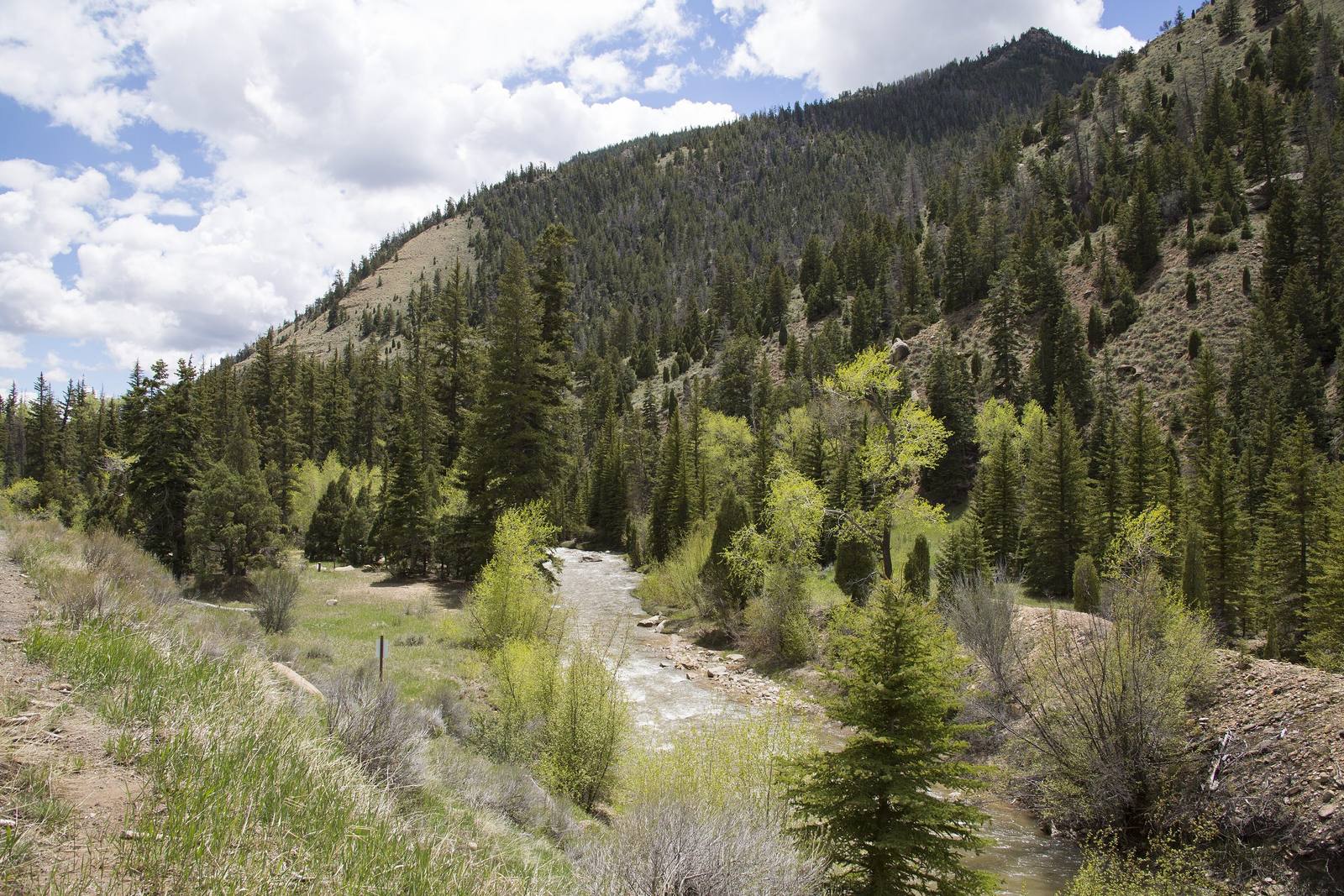
Manti-La Sal National Forest is two mountain ranges pretending to be one forest. The Manti division covers the Wasatch Plateau in central Utah — a high, flat-topped range rising above 10,000 feet with Skyline Drive running along its crest. The La Sal division covers the La Sal Mountains near Moab — volcanic peaks topping 12,000 feet that rise from the red rock desert like a snow-capped mirage. The two divisions are separated by over 100 miles of desert, connected by nothing but a shared name and a shared administrative structure, and they could not look or feel more different if they tried.
Skyline Drive is the Manti division's crown jewel — a high-elevation road that runs along the crest of the Wasatch Plateau at over 10,000 feet for roughly 100 miles, offering views to the east across the desert canyons of the San Rafael Swell and to the west across the farming valleys of the Sanpete and Sevier regions. The road is unpaved and rough in sections, requiring high clearance, but the payoff is one of the most spectacular ridgeline drives in the state. The plateau is covered in alpine meadows, spruce-fir forest, and aspen groves that turn gold in late September with an intensity that rivals any fall color display in Utah.
The La Sal division provides the alpine counterpoint to the desert landscapes of the Moab area. The La Sal Mountains are laccolithic — formed by magma that intruded into existing sedimentary layers and pushed them upward without breaking through the surface — and the resulting peaks are steep, dramatic, and high enough to hold snow well into June. The La Sal Mountain Loop Road climbs from Castle Valley through the range, passing through desert, woodland, aspen forest, and spruce-fir forest in rapid succession, with views back down to the red rock desert that are among the most striking elevation-to-desert contrasts in the American West.
The forest supports diverse recreation across both divisions — hiking, mountain biking, fishing, hunting, horseback riding, and camping — and the relative obscurity of both divisions compared to the adjacent national parks means that solitude is genuinely available. The Manti division in particular sees remarkably few visitors for a landscape of its quality, and the combination of high-elevation terrain, dark night skies, and empty trails makes it one of the best-kept secrets in the Utah mountain experience. The forest's Sanpete Ranger District sits down in the valley at Ephraim, one of the Little Denmark towns the Manti division looms over — Fairview, Mount Pleasant, Spring City, and Manti, strung north to south along the US-89 Heritage Highway. Farther south, the canyons that climb onto the plateau begin at the valley's edge — Sixmile Canyon above Sterling, Twelve Mile Canyon above Mayfield — both of them routes up to Skyline Drive.
Visitor Info
On the Map
Nearby
The closest stops worth working into your route
Historical markers nearby
Roadside plaques and monuments within a short detour