 An Errant Knight / CC BY-SA 4.0
The Story
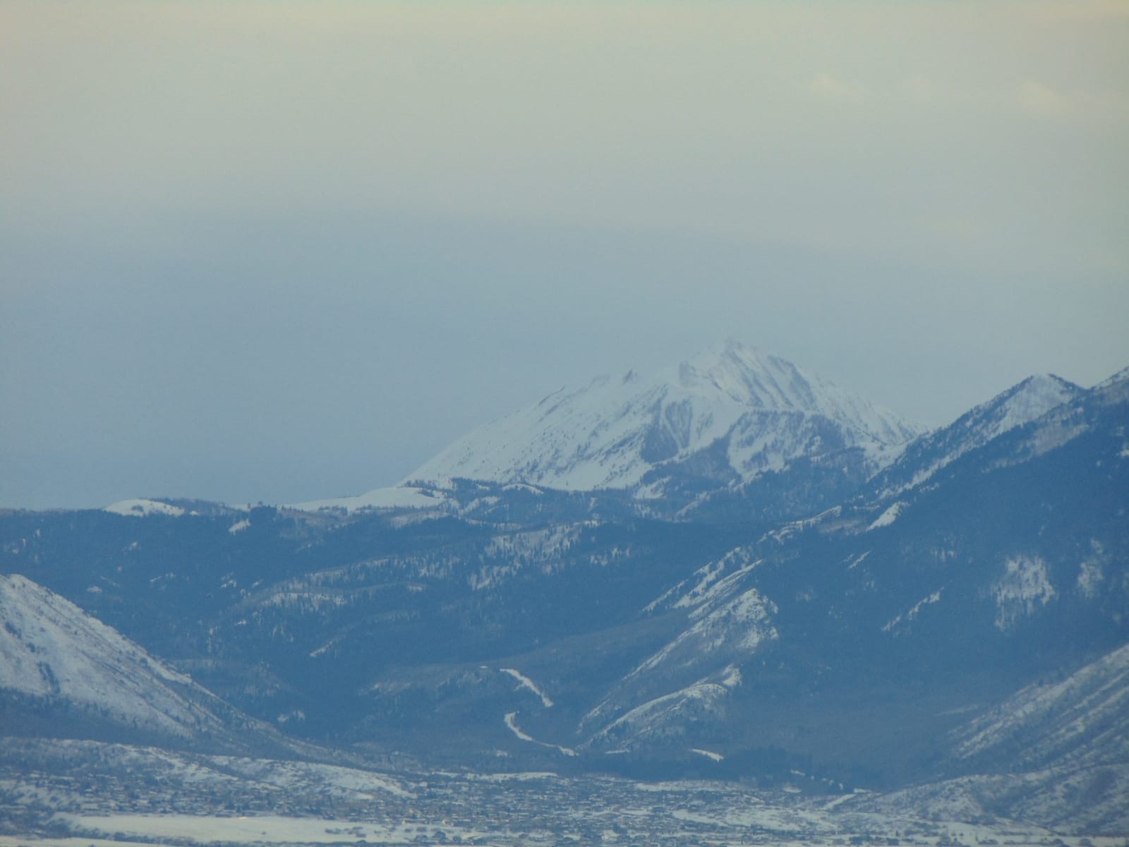
Mount Nebo is the mountain the whole drive is named for — at 11,928 feet, the highest peak in the Wasatch Range and its dramatic southern full stop, the place where the range that runs all the way down from Idaho finally gives out. It is a long, triple-summited massif rather than a single horn, and from the Nebo Loop you come at it from behind, its east face rising in tiers of rock and timber above the road while the high summits hold their snow into summer. From the valley side it is even more commanding: it stands more than a vertical mile above Nephi at its foot, the peak every traveler on I-15 watches fill the eastern sky for miles before and after the town.
The summit itself is protected as the Mount Nebo Wilderness, which means no roads and no shortcuts: reaching the top is a serious, all-day climb from trailheads like Nebo Bench — thousands of feet of gain, no water near the summit, and a turnaround time you keep honestly when the afternoon clouds start to build. Most people, sensibly, take the mountain in from the overlooks along the high stretch of the loop instead, where it fills the southern sky without costing a drop of sweat. Partway up that same road a short walk reaches Devil's Kitchen, a pocket of red hoodoos eroded into the green forest that locals call Utah's "little Bryce" — and from its railed deck the framed view back to the west is of Nebo itself, anchoring the southern end of the range it gave its name to.
Visitor Info
On the Map
A story featuring this place
Go deeper into the history and character of this stop
Nearby
The closest stops worth working into your route
Historical markers nearby
Roadside plaques and monuments within a short detour