Idaho
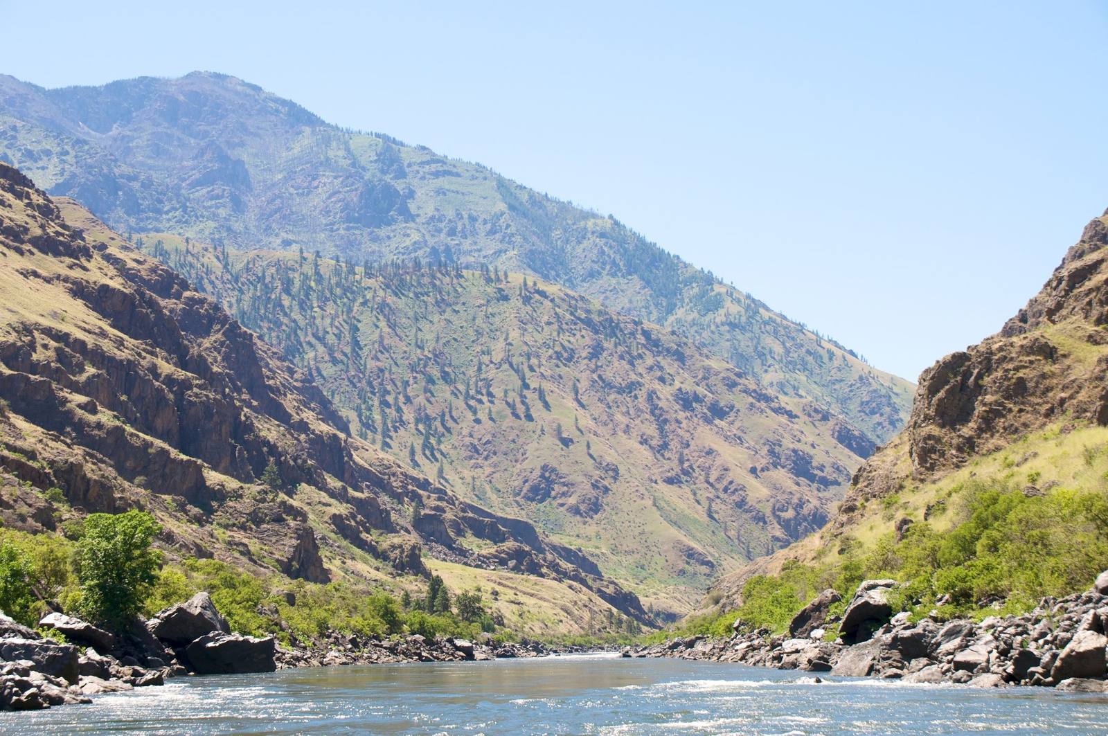
From the Canadian line down to the Great Basin — Hells Canyon, the deepest river gorge in North America, the black lava of Craters of the Moon, the Oregon Trail along the Snake River, and the homelands of five sovereign tribal nations.
All of Idaho, One Map
Tap any dot to discover what makes a place worth the stop.
Plan a Trip
Day-by-day plans — real drive times, honest overnights, and the permit fine print sorted before you leave.
Scenic Drives
The roads themselves — traced end to end, with the stops worth making along the way.
I-84: The Farewell Bend Crossing
From Boise west across the Treasure Valley and the Snake at Ontario, past Farewell Bend and up the Burnt River to the Oregon Trail Interpretive Center outside Baker City.
Mesa Falls Scenic Byway: Ashton to Harriman
The old road toward Yellowstone: from Ashton's farm country down to the Warm River and up to the undammed Mesa Falls, ending at the Harrimans' Railroad Ranch.
The Sawtooths and the Salmon: Ketchum to Salmon
Over Galena Summit to the Salmon's headwaters, then down the river past Stanley, the Yankee Fork dredge and Challis to the town of Salmon.
Thousand Springs: Shoshone Falls to Hagerman
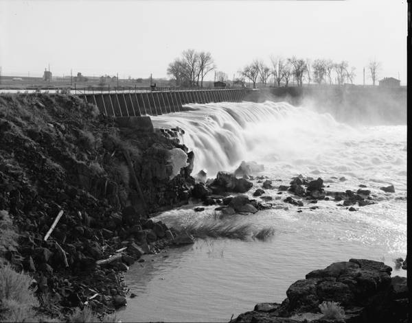
Where the Snake nearly vanishes into canals and comes back out of the canyon walls: Shoshone Falls, Box Canyon's spring and the Hagerman fossil beds.
U.S. 89 and U.S. 30: The Bear Lake Crossing
From Bear Lake's Utah shore north into Idaho: the refuge, the cave, the emigrants' camp at Montpelier, the Soda Springs geyser and the hot pools at Lava.
U.S. 91 and Idaho 34: The Cache Valley Crossing
North from Logan up Cache Valley into Idaho: Franklin, Preston, the Boa Ogoi massacre site, the Black Canyon at Grace and the geyser at Soda Springs.
U.S. 93: The Jackpot Crossing
From Wells north through Nevada's emptiest basins to Jackpot, then across the Idaho line to Twin Falls and the Perrine Bridge over the Snake.
US-12: The Clearwater, the Lochsa and Lolo Pass
The last U.S. highway finished: up the Clearwater and the Lochsa from Lewiston to Lolo Pass, on a road federal prisoners and Japanese internees built.
Regions of Idaho
Each region gathers the parks, towns, drives, and roadside stops that define one corner of the state.
Boise, the Treasure Valley & the Owyhees
Newe homeland the capital was built on — Boise's Old Pen and Basque Block, the Owyhee canyonlands and Silver City, the raptor cliffs of the Snake, and the Oregon Trail's Three Island Crossing.
Clearwater Country & Hells Canyon
The Nimiipuu homeland — Weippe Prairie where the Nez Perce fed Lewis and Clark, Lewiston, White Bird battlefield, the Clearwater road to Lolo Pass, and Hells Canyon, the deepest river gorge in North America.
Craters of the Moon & the Upper Snake
The Snake River Plain's newest ground — the lava fields of Craters of the Moon, the atomic desert at Arco and EBR-I, the Teton Dam flood, Teton Valley, and Mesa Falls on the Henrys Fork.
The Idaho Panhandle
Schitsu'umsh and Ktunaxa country at the top of Idaho — Coeur d'Alene Lake, the Silver Valley's mining towns and the last stoplight on I-90, the state's oldest building at Cataldo, and Lake Pend Oreille.
The Magic Valley
The irrigated Snake River Plain — Shoshone Falls, Twin Falls and Evel Knievel's ramp, Thousand Springs and the Hagerman fossil beds, Minidoka's hard history, and City of Rocks on the California Trail.
The Payette River Mountains
The Boise Basin gold camps and Idaho City, once larger than Portland, the Chinese miners who stayed, Highway 55 up the Payette to McCall, and the three dams that closed the Snake to salmon.
The Portneuf & Bear River Country
Newe country from Fort Hall to Bear Lake — Boa Ogoi, the Bear River Massacre site now in Shoshone hands, the Oregon Trail at old Fort Hall, Pocatello, Franklin, Lava Hot Springs and Soda Springs.
The Sawtooths & the Salmon River
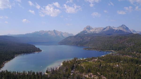
Agaidika Shoshone country on the upper Salmon — Lemhi Pass and Sacagawea's people, the River of No Return, Borah Peak, Stanley and the Sawtooths, Redfish Lake's sockeye, and Sun Valley.
Stories from Idaho
The histories behind the places — the people, the disasters, the inventions, and the long memory of the land.
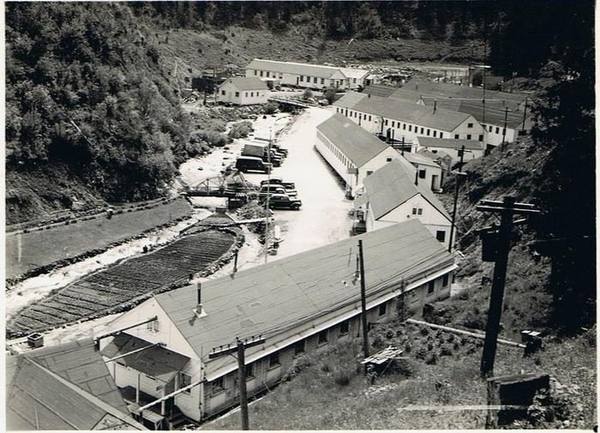
Historical Markers
Roadside history, plaque by plaque — every marker in Idaho, grouped by county and searchable.
Markers of Idaho
Browse every historical marker across Idaho — organized by county, each with its full plaque text.