U.S. 93: The Jackpot Crossing
From Wells north through Nevada's emptiest basins to Jackpot, then across the Idaho line to Twin Falls and the Perrine Bridge over the Snake.
The Route at a Glance
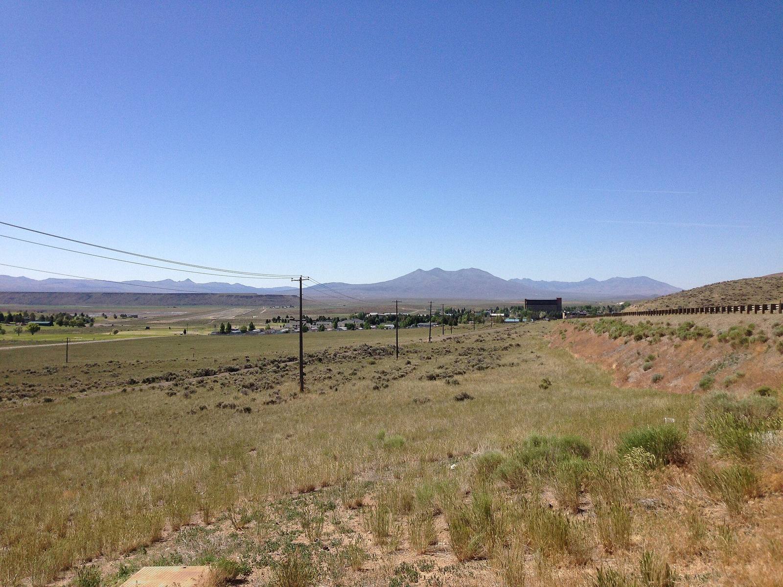
US-93 leaves Interstate 80 at Wells, the town at the head of the Humboldt, and points north into some of the emptiest highway in the West: about seventy miles of sagebrush basins and low passes, past the crossroads at Contact, to the Idaho line. Then forty-five more across the Salmon Falls country to Twin Falls and the canyon of the Snake. Roughly 120 miles and two and a half hours; fill the tank at Wells. This is Newe — Western Shoshone — country on the Nevada side and Shoshone and Bannock country beyond it.
Before heading north, the side trip worth taking is twelve miles northwest of Wells to Metropolis, the planned farm city of 1911 that lost its water to farmers at the far end of the same river. The front arch of its brick school still stands in the sage.
The Nevada stretch ends at Jackpot, the casino town that Idaho's 1954 gambling ban moved a mile south of the border. It keeps Idaho's Mountain time, and at the edge of town a marker tells how a hired gunman named Diamondfield Jack Davis came within hours of hanging during the range war along this line.
Across the border the road runs through Rogerson and Hollister, small towns of the irrigation tract that Salmon Falls Creek was supposed to water and could not fill, then into the grid of farms the Snake River's dams created around Twin Falls. The drive ends at the Perrine Bridge, where US-93 crosses the Snake River canyon nearly five hundred feet above the water and BASE jumpers step off the rail. Shoshone Falls is five miles east along the rim.
US-93 is a two-lane highway with long gaps between services, open year-round. Watch for cattle on the open range in Nevada and for deer at dusk on both sides of the line.
The Drive, Stop by Stop
4 stops along the route, in driving order from Wells, Nevada to Twin Falls, Idaho. 2 of them sit off the road itself — the distance is noted on each.
- 1
- 2
- 3
- 4
That's the drive. Take your time, pull over often, and let U.S. 93: The Jackpot Crossing do what it does best.
← Explore more of Open Road Guide