Mesa Falls Scenic Byway: Ashton to Harriman
The old road toward Yellowstone: from Ashton's farm country down to the Warm River and up to the undammed Mesa Falls, ending at the Harrimans' Railroad Ranch.
The Route at a Glance
Before US-20 took the traffic, this was the way to Yellowstone from the Idaho side. SR-47 leaves US-20 at Ashton and runs northeast through potato, barley and hay country toward the Tetons, visible on clear days to the east, then drops into the canyon where the Warm River meets the Henrys Fork. From there it climbs into lodgepole and Douglas fir on the Caribou-Targhee National Forest and follows the rim of the Henrys Fork canyon north.
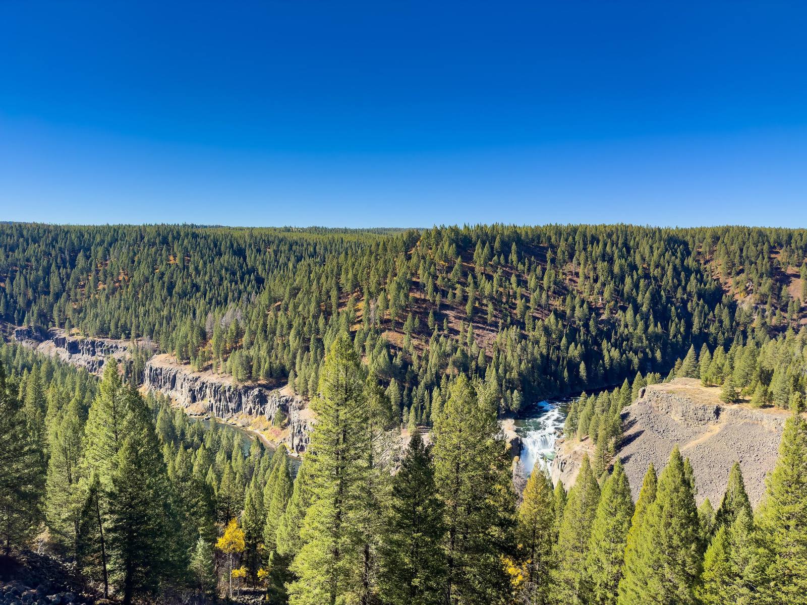
Mesa Falls is the reason for the road. The Grandview overlook looks down on Lower Mesa Falls squeezing through its gorge, and about a mile on, a boardwalk from the old Big Falls Inn leads to the brink of Upper Mesa Falls, 114 feet high and never dammed, which in this river system makes it rare. The inn is the visitor center now.
Beyond the falls the byway runs through forest and rejoins US-20 north of Ashton, and a short way up the highway is Harriman State Park, the old Railroad Ranch on the Henrys Fork, where the Harriman brothers' gift came with a condition that built Idaho's state park system. The ranch buildings stand at the end of the park road, trumpeter swans nest on Silver Lake, and fly-fishers work the flat water anglers call the Ranch.
The byway is a short loop and an easy half day. The upper falls area has been closed at times for road work, so check with the Ashton/Island Park Ranger District before you go, and expect SR-47 north of the falls to be snowbound in winter.
The Drive, Stop by Stop
3 stops along the route, in driving order from Ashton, Idaho to Harriman State Park.
- 1
- 2
- 3
That's the drive. Take your time, pull over often, and let Mesa Falls Scenic Byway: Ashton to Harriman do what it does best.
← Explore more of Open Road Guide