The Magic Valley
The irrigated Snake River Plain — Shoshone Falls, Twin Falls and Evel Knievel's ramp, Thousand Springs and the Hagerman fossil beds, Minidoka's hard history, and City of Rocks on the California Trail.
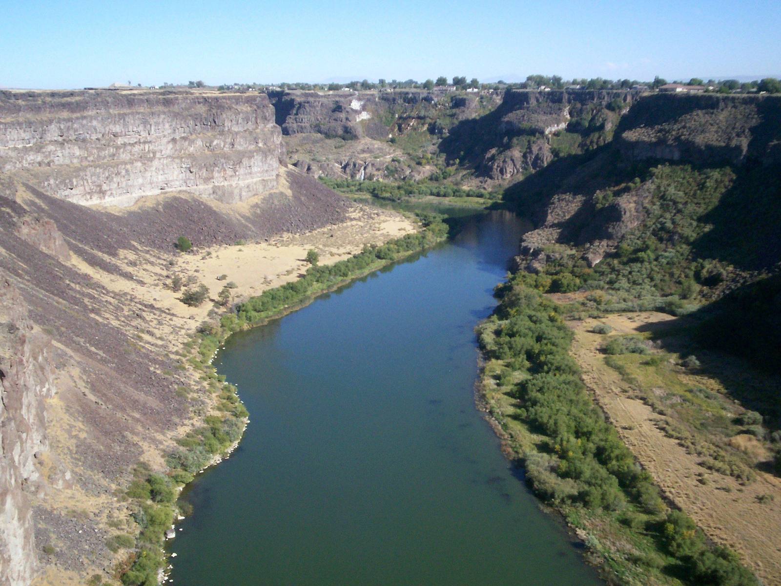
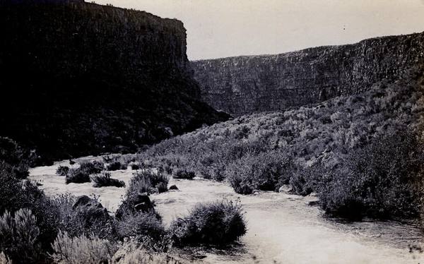
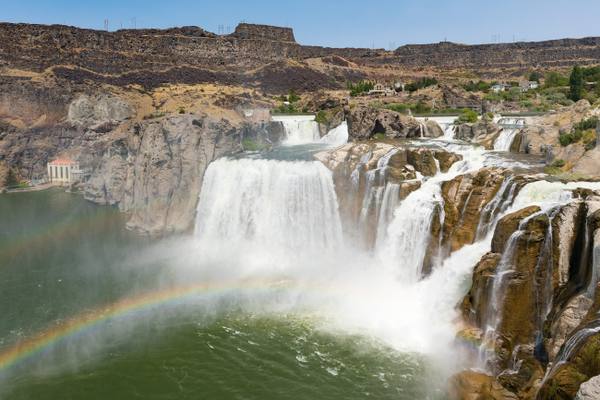
For the Newe, Shoshone Falls mattered for what it stopped. The Snake drops 212 feet there over a basalt rim, higher than Niagara, and no salmon could climb it; the falls marked the upper limit of the runs, and the people fished the water below them and at Salmon Falls downstream. Above the falls the Snake River Plain was sagebrush, with the river sunk in a canyon too deep to reach.
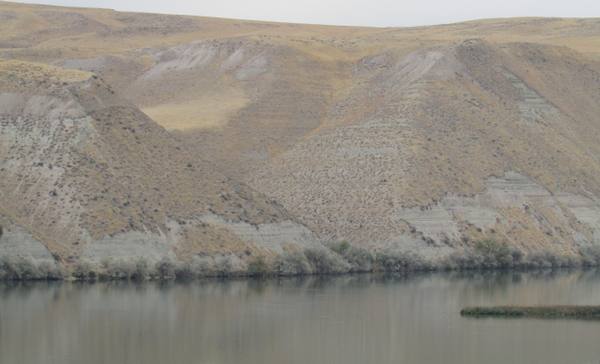
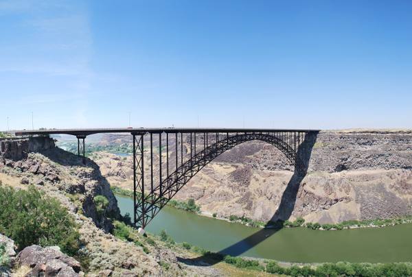
Irrigation changed that. Milner Dam went in across the Snake in 1905, and the private canals the federal Carey Act made possible turned the canyon rim into farms within a few seasons — fast enough that the valley has been called Magic ever since. Twin Falls was laid out in 1904; the Perrine Bridge now crosses the canyon beside it, and a mile and a half east of the bridge, on the same south rim, is the dirt ramp where Evel Knievel tried to rocket across in 1974 and came down by parachute. Downstream, the aquifer under the lava plain pours straight out of the canyon walls at Thousand Springs, and the bluffs at Hagerman hold the fossil beds of the Hagerman horse, Idaho's state fossil.
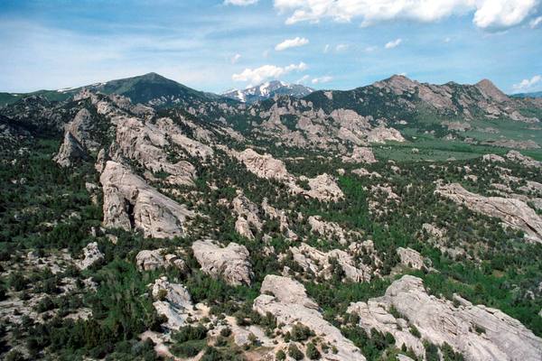
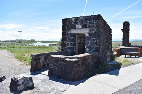
The water that made the valley also sited one of its prisons. North of the river at Hunt, the War Relocation Authority held more than thirteen thousand Japanese Americans at Minidoka between 1942 and 1945, most of them from Seattle and Portland; about a thousand of its young men served in the Army while their families stayed in the camp. It is a national historic site now. South toward Utah, at City of Rocks, California Trail emigrants wrote their names in axle grease on granite spires that climbers now come to scale.
What to See in The Magic Valley
6 places across the region, grouped by what they are.
Geology & Rock Formations
Natural Areas
Historic Sites
Architecture
Scenic Drives through The Magic Valley
Thousand Springs: Shoshone Falls to Hagerman
Where the Snake nearly vanishes into canals and comes back out of the canyon walls: Shoshone Falls, Box Canyon's spring and the Hagerman fossil beds.
U.S. 93: The Jackpot Crossing
From Wells north through Nevada's emptiest basins to Jackpot, then across the Idaho line to Twin Falls and the Perrine Bridge over the Snake.
Stories from The Magic Valley
The Night Shoshone Falls Went Dry
How a canyon rancher, a Salt Lake banker and an 1894 federal law turned the south side of the Snake River into the Magic Valley in a few seasons
Half a Lake
About 18,000 years ago Lake Bonneville broke through Red Rock Pass and emptied half of itself across southern Idaho in a matter of weeks
The Magic Valley rewards the unhurried. Pick a base, fan out, and let the country between the headline stops surprise you.
← Explore more of Open Road Guide