The Idaho Panhandle
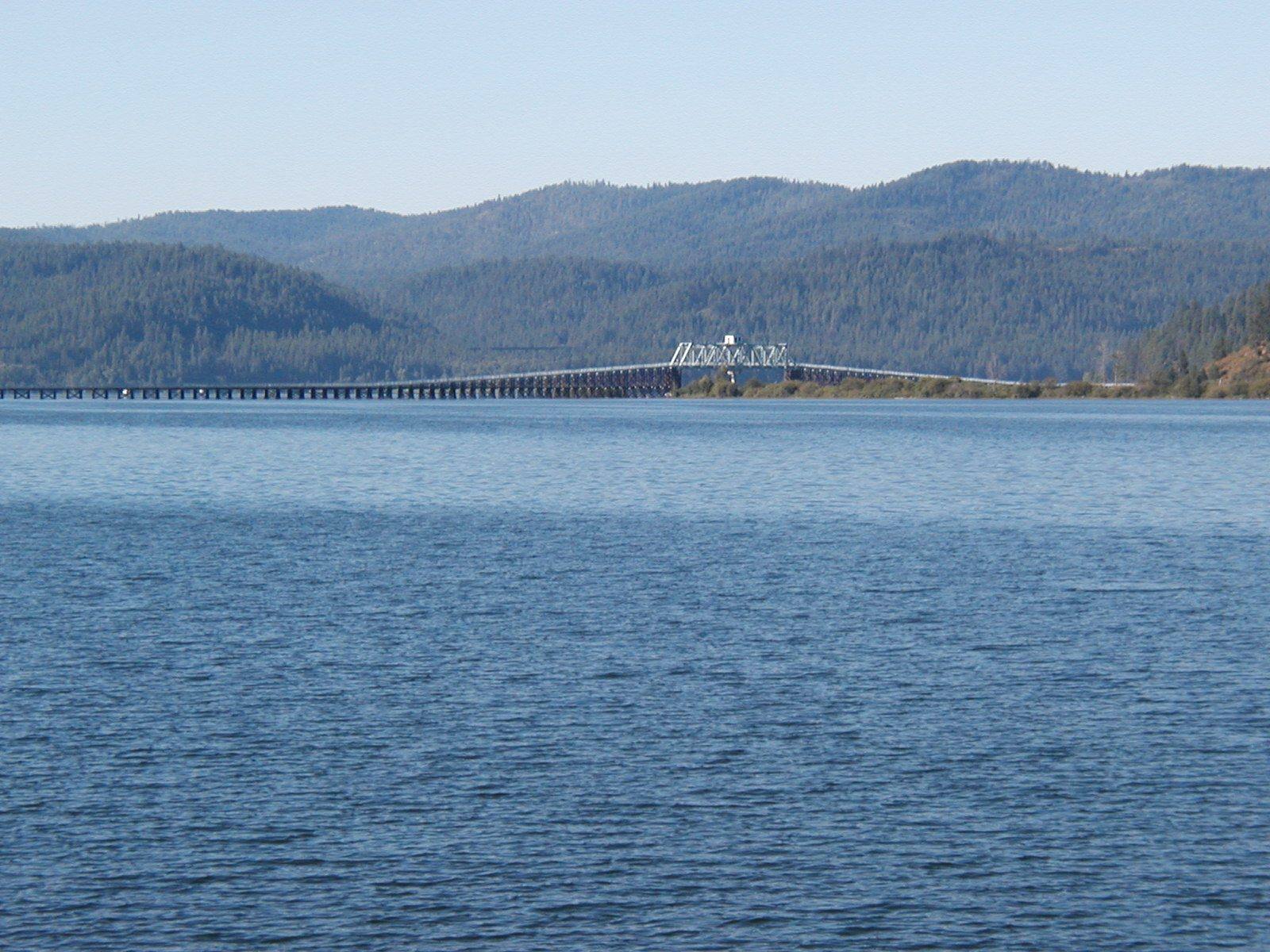
Schitsu'umsh and Ktunaxa country at the top of Idaho — Coeur d'Alene Lake, the Silver Valley's mining towns and the last stoplight on I-90, the state's oldest building at Cataldo, and Lake Pend Oreille.
The Schitsu'umsh — the Coeur d'Alene, "those who were found here" — lived around the lake the French traders named for them, fishing it, gathering along it, and traveling it as a highway for thousands of years. The reservation drawn in 1873 took in nearly all of the water. An 1889 agreement gave up the northern two-thirds, and the state of Idaho claimed the lakebed that was left until 2001, when the Supreme Court ruled that the southern third of Coeur d'Alene Lake is held in trust for the tribe. North at Bonners Ferry the Ktunaxa, the Kootenai Tribe of Idaho, had no treaty, no reservation, and sixty-seven members when they declared war on the United States on September 20, 1974. It was a war of drums and ten-cent tolls on Highway 95, and it won them the land, roads and homes they had been refused for a century.
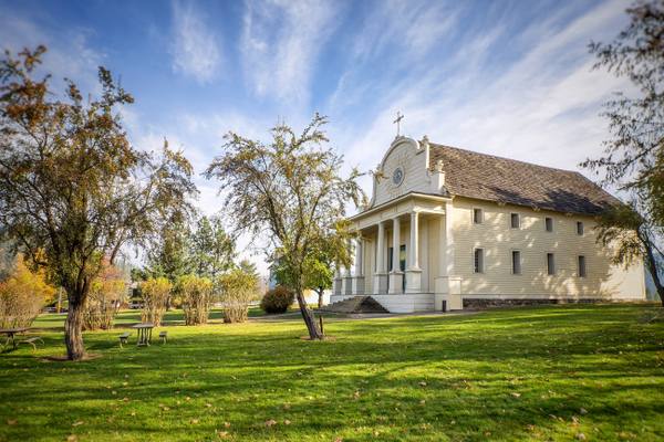
Interstate 90 crosses the Panhandle in about seventy miles. West of Lookout Pass lies the Silver Valley, a district that has produced more than a billion ounces of silver and saw open war between miners and mine owners in 1892 and 1899. At Kellogg a miner's statue carries the names of the ninety-one men killed by the Sunshine Mine fire in 1972. Wallace listed its entire downtown on the National Register to keep the freeway from flattening it, and until 1991 every coast-to-coast driver on I-90 stopped at its single traffic light. On a hill above the river at Cataldo stands the Mission of the Sacred Heart, the oldest standing building in Idaho, raised mostly by Schitsu'umsh hands between 1850 and 1853.
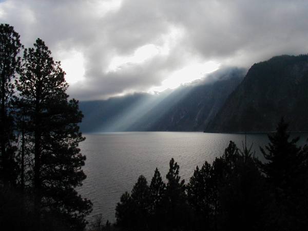
North of the lake the country turns to cedar and deep water — Sandpoint on Lake Pend Oreille, the Kootenai River bottomlands, and the Canadian line, where Idaho is barely forty-five miles wide.
What to See in The Idaho Panhandle
5 places across the region, grouped by what they are.
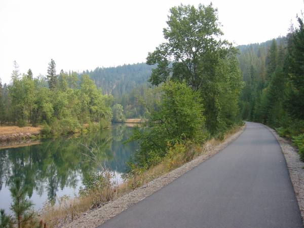
Hikes & Trails
Historic Sites
Stories from The Idaho Panhandle
The War at Bonners Ferry
In 1974 the sixty-seven members of the Kootenai Tribe of Idaho declared war on the United States. It lasted days, nobody was hurt, and it worked
The Gate on Dearborn Street
How a governor's crackdown in the Coeur d'Alene mines in 1899 ended with a bomb at his garden gate in Caldwell, and a trial in Boise that the whole country watched
The Idaho Panhandle rewards the unhurried. Pick a base, fan out, and let the country between the headline stops surprise you.
← Explore more of Open Road Guide