US-12: The Clearwater, the Lochsa and Lolo Pass
The last U.S. highway finished: up the Clearwater and the Lochsa from Lewiston to Lolo Pass, on a road federal prisoners and Japanese internees built.
The Route at a Glance
US-12 was the last U.S. highway to be finished. The road up the Clearwater and the Lochsa to Lolo Pass was named a state highway in 1916 and begun in 1920, and it took until 1962 to get a car through the Lochsa canyon. From 1935 federal prisoners worked it out of a camp at Canyon Creek, above Lowell. When that prison camp closed in 1943 it reopened as the Kooskia Internment Camp, and until 1945 some 265 Japanese immigrant men, held as enemy aliens and volunteering from other camps for wages, built the road along the river. The governors of Idaho and Montana opened the highway at the pass in August 1962 by sawing through a cedar log.
It starts at Lewiston, where the Clearwater meets the Snake, and follows the Clearwater upstream through the Nez Perce Reservation, past Spalding and the mission that asked for a printing press, to Kamiah and Kooskia. From Greer, SR-11 climbs to the Weippe Prairie, where the Nimiipuu met the starving Corps of Discovery coming down off the Lolo Trail in September 1805.
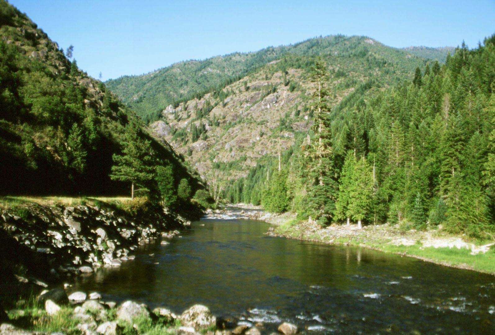
At Lowell the Lochsa and the Selway join, and the road turns up the Lochsa into the national forest. From here to Powell, about seventy miles, there are no services; fill the tank in Kooskia or Kamiah. The river runs fast and clear beside the pavement the whole way, and the old Nimiipuu trail that Lewis and Clark struggled over in the snow stays high on the ridges to the north. Near the top, the DeVoto Memorial Cedar Grove keeps a stand of old western redcedars beside the highway. Lolo Pass is the Montana line, with a visitor center at the summit.
The signs at the start warn of a winding road for the next ninety-nine miles. They are right.
The Drive, Stop by Stop
4 stops along the route, in driving order from Lewiston, Idaho to Lolo Pass. One of them sits off the road itself — the distance is noted on each.
- 1
- 2
- 3
- 4
That's the drive. Take your time, pull over often, and let US-12: The Clearwater, the Lochsa and Lolo Pass do what it does best.
← Explore more of Open Road Guide