US-93: Salmon to Hamilton over Lost Trail Pass
Over Lost Trail Pass from the Salmon to the Bitterroot: the divide the Corps crossed with a guide unsure of the creek, the Salish camp at Ross' Hole, and the schoolhouse where spotted fever was beaten.
The Route at a Glance
This road picks up where the Sawtooths and the Salmon leaves off. From Salmon, where the Sacajawea Center tells the Agaidika side of the expedition, US-93 follows the Salmon River north to the hamlet of North Fork, turns up the North Fork past Gibbonsville, climbs to the Montana line at Lost Trail Pass, and comes down the East Fork and then the Bitterroot itself through Sula and Darby to Hamilton. It is about ninety-three miles and two hours, and for most of them the highway keeps close to the way the Corps of Discovery came in the first week of September 1805.
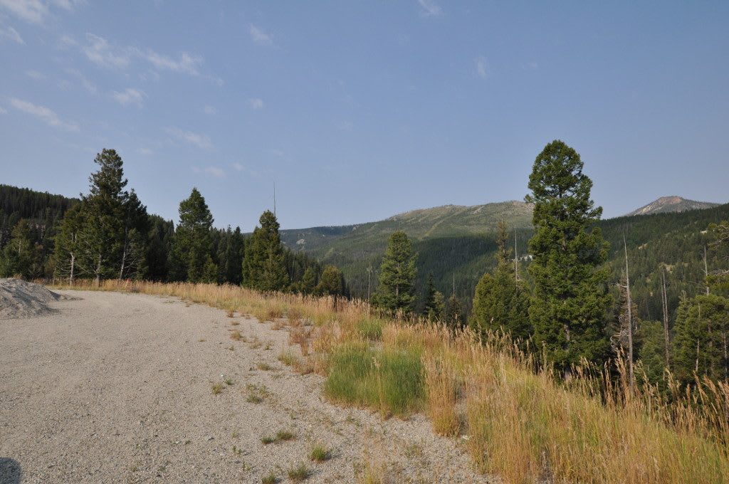
They came this way because the river would not take them. In late August Clark had scouted down the Salmon below the North Fork and found it nearly one continuous rapid, impossible for canoes. So the party turned north with the Agaidika guide they called Toby and worked up the North Fork, camping on September 2 beyond Gibbonsville. The next day they crossed the divide somewhere near the pass, and Sergeant Gass wrote that the creek they came down to was not the one their guide had meant to find; on the morning of the fourth their baggage covers were frozen. The pass took its name only in the 1930s, when the highway over it was finished and a rancher who knew the journals urged it. It is not the Continental Divide, which runs just to the east, but the line between the Salmon and the Bitterroot.
On September 4 the party came down into the open basin now called Ross' Hole and found a large Salish camp; the pullout near Sula holds five panels about that meeting and what followed. Back at the summit, MT-43 turns east over the Continental Divide at Chief Joseph Pass toward the Big Hole, where the Army attacked the Nimiipuu camp in August 1877.
At the north end, Hamilton grew up as Marcus Daly's town, and it is also where the valley's worst disease was beaten. Spotted fever killed most of the adults who caught it in the Bitterroot. In 1921 the entomologist Ralph Parker and the physician Roscoe Spencer moved their tick work into an empty schoolhouse across the river, and by 1924 they had an effective vaccine, made from ground-up infected ticks; rearing the ticks cost two lives to infections caught in the lab. The state built them the Rocky Mountain Laboratory in Hamilton in 1928, and it still does federal research on infectious disease.
The highway is open all year, though the pass takes heavy snow, and Salmon, Darby and Hamilton have full services.
The Drive, Stop by Stop
3 stops along the route, in driving order from Salmon, Idaho to Hamilton, Montana. One of them sits off the road itself — the distance is noted on each.
- 1
- 2
- 3
That's the drive. Take your time, pull over often, and let US-93: Salmon to Hamilton over Lost Trail Pass do what it does best.
← Explore more of Open Road Guide