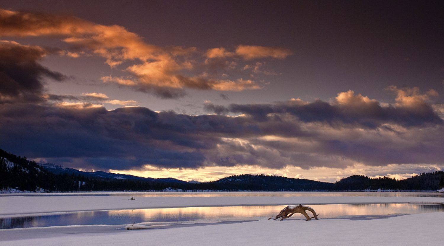
The Payette River Mountains
The Boise Basin gold camps and Idaho City, once larger than Portland, the Chinese miners who stayed, Highway 55 up the Payette to McCall, and the three dams that closed the Snake to salmon.
Gold was found in the Boise Basin in 1862, and by 1864 Idaho City, a camp of wood and canvas where Elk Creek meets Mores Creek, held some seven thousand people — larger than Portland, and by most accounts the largest town in the Pacific Northwest. It burned four times in six years. When the easy gold gave out, the miners who stayed were increasingly Chinese, working claims others had abandoned; by the 1870 census nearly half the people of the Boise Basin had been born in China. The Pon Yam House, a Chinese merchant's store of 1867, is one of the few buildings left from that community, and Placerville still stands in the pines a few miles on.
All of this was Newe and Nimiipuu country first — the 1863 treaty took the Payette Lake region from the Nez Perce along with the Wallowa — and the mountains stayed hard to reach. Highway 55 climbs the Payette from Horseshoe Bend through a whitewater canyon to Cascade and McCall, a lumber town turned lake resort on Payette Lake. Highway 21 runs northeast from Idaho City over the ridges toward Lowman and Stanley.
To the west, past the farm towns of the Weiser valley, the Snake enters the head of Hells Canyon. There Idaho Power's Brownlee, Oxbow and Hells Canyon dams, built between the late 1950s and 1967, stand one above another with no passage for fish. Salmon that once climbed the Snake into Idaho's high country now stop at the foot of the lowest.
What to See in The Payette River Mountains
5 places across the region, grouped by what they are.
Natural Areas
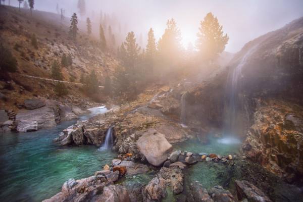
Hikes & Trails
Historic Sites
Towns & Gateways

Stories from The Payette River Mountains
The Payette River Mountains rewards the unhurried. Pick a base, fan out, and let the country between the headline stops surprise you.
← Explore more of Open Road Guide