I-84: The Farewell Bend Crossing
From Boise west across the Treasure Valley and the Snake at Ontario, past Farewell Bend and up the Burnt River to the Oregon Trail Interpretive Center outside Baker City.
The Route at a Glance
I-84 leaves Boise, where the Basque Block and the sandstone walls of the Old Idaho Penitentiary are worth an hour before setting out, and runs west through Nampa and Caldwell across the irrigated farmland of the Treasure Valley. This was Shoshone, Bannock and Northern Paiute country, and the Oregon Trail came down the Boise River through the same valley on its way to the Snake.
The interstate crosses the Snake into Oregon at Ontario, where the Malheur, Owyhee and Payette come in, and the town keeps Idaho's Mountain time. Railroad and dam work had already brought a Japanese American community here, and the war grew it. On May 22, 1942, the government authorized four hundred people to leave the Portland Assembly Center to work sugar beets in a tent camp outside Nyssa, twelve miles south, the first farm labor camp of the incarceration. Many stayed when it ended; Malheur County counted 137 people of Japanese descent in 1940 and 1,170 in 1950. The Four Rivers Cultural Center in Ontario tells the story, and its Japanese garden is a memorial to those who were incarcerated.
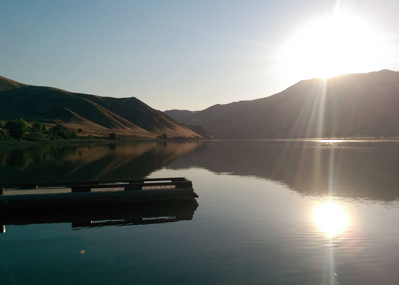
Northwest of Ontario the road follows the Snake to Farewell Bend, at exit 353, where emigrants who had followed the river for some 330 miles camped a last time beside it before turning up the Burnt River. The river here is Brownlee Reservoir now. The climb up the Burnt River canyon was a hard one for the wagons, and the Weatherby rest area at exit 336 has exhibits on it. The drive ends on Flagstaff Hill outside Baker City, at the Oregon Trail Interpretive Center, where wagon ruts still cross the sagebrush below the building.
The run is about 135 miles and two and a half hours, all of it interstate but the last five miles. Summer afternoons in the Snake River country are hot; winter storms can close the interstate in eastern Oregon.
The Drive, Stop by Stop
3 stops along the route, in driving order from Boise, Idaho to Baker City, Oregon. One of them sits off the road itself — the distance is noted on each.
- 1
- 2
- 3
That's the drive. Take your time, pull over often, and let I-84: The Farewell Bend Crossing do what it does best.
← Explore more of Open Road Guide