Home / California / Eastern Sierra & Owens Valley / Mono Lake
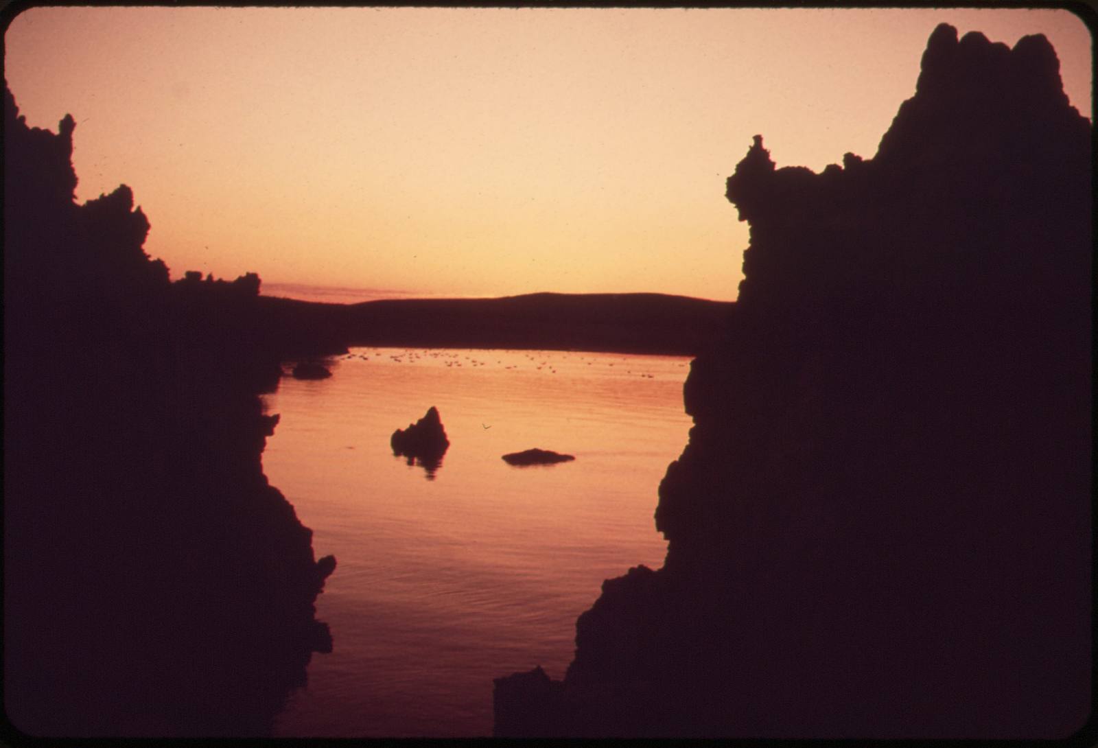
Mono LakeDick Rowan / Public domain via Wikimedia Commons
🌲Natural

Mono Lake

Part ofEastern Sierra & Owens Valley
On this driveU.S. 395: The Eastern Sierra

A saline lake older than most of the Sierra, with tufa towers and a water fight it eventually won.

⏱
Duration
One to two hours at South Tufa; half a day with the visitor center and Panum Crater.
🎟
Admission
Day-use fee at South Tufa (Mono Basin National Forest Scenic Area); interagency passes accepted.
πŸ“…
Best Season
Year-round; summer for birds, winter for empty shoreline and low light.
πŸ’‘
Fun Fact
The lake is so buoyant with dissolved salts that swimmers float without effort, and the water leaves a slick, soapy film on the skin.

The Story

Mono Lake has held water for at least 760,000 years, which makes it one of the oldest lakes in North America, and it has no outlet, so everything the streams carry in stays. The result is water about three times saltier than the ocean and strongly alkaline, supporting a food web of exactly two abundant animals: brine shrimp and alkali flies, in numbers that feed millions of migratory birds. Roughly eighty percent of California's nesting California gulls hatch here. The tufa towers along the south shore are limestone, grown underwater where calcium-rich springs met the alkaline lake, and they are visible only because the lake dropped.

The Kootzaduka'a have lived in this basin since time immemorial. Their name comes from kootzabe, the alkali fly pupae they harvested from these shores, and the tribe is still seeking federal recognition and a land base in its own homeland.

Los Angeles began diverting the lake's tributary streams in 1941. Over the next four decades the lake fell forty-five vertical feet, lost half its volume, doubled in salinity, and exposed a land bridge that let coyotes reach the gull nesting islands. What stopped it was law: the California Supreme Court applied the public trust doctrine to the lake in 1983, and the State Water Board set a target level of 6,392 feet in 1994. The lake is rising, slowly, and still has not reached it.

Start at South Tufa off CA-120.

Visitor Info

⏱
Time Needed
One to two hours at South Tufa; half a day with the visitor center and Panum Crater.
🎟
Admission
Day-use fee at South Tufa (Mono Basin National Forest Scenic Area); interagency passes accepted.
πŸ“…
Best Season
Year-round; summer for birds, winter for empty shoreline and low light.
πŸ›£οΈ
Highway
US-395 / CA-120

On the Map

Stories

A story featuring this place

Go deeper into the history and character of this stop

Geology
The Crater You Drive Across
JoAnn Β· 6 min read

Nearby

The closest stops worth working into your route

historical14 mi away
Bodie State Historic Park
A gold town of ten thousand left exactly as it emptied, held in arrested decay at 8,375 feet.
geological28 mi away
Devils Postpile National Monument
A wall of hexagonal basalt columns with a glacier-polished top, and a 101-foot waterfall downstream.
cultural54 mi away
Bishop
The Eastern Sierras working capital, and the home of the NΓΌΓΌmΓΌ who were traded out of their own valley.
natural61 mi away
Ancient Bristlecone Pine Forest
Trees older than the pyramids, growing on white dolomite at ten thousand feet.
historical78 mi away
Columbia State Historic Park
The Gem of the Southern Mines, still open for business on a car-free Gold Rush main street.
cultural84 mi away
Genoa
Nevada's oldest townβ€”a California Trail trading post and Carson Valley ranch country that came eight years before the silver and quietly outlasted it