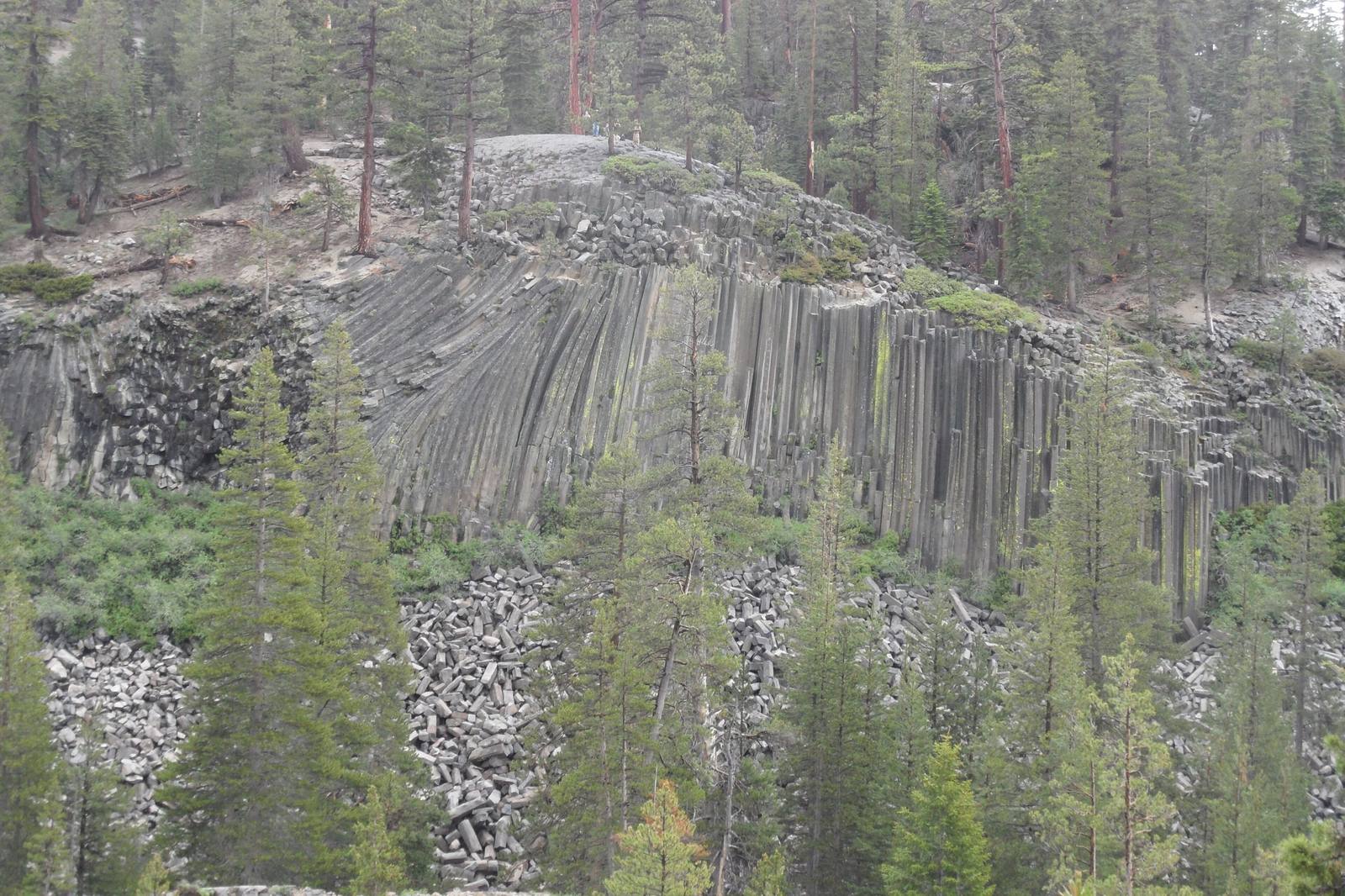
 NPS Photo, Don Wood / public domain via Wikimedia Commons
The Story
Lava pooled in this valley less than a hundred thousand years ago, deep and even enough that as it cooled it contracted and cracked into vertical columns. Most came out six-sided; a survey of four hundred of them found a bit under half were hexagons, with fives and fours and the occasional seven filling in. Then a glacier came through, sheared away the face to expose columns up to sixty feet tall, and rode over the top, leaving the upper surface polished smooth and scratched with striations. Climb the short spur to the top of the formation and you are standing on what looks like a tiled floor laid by hand.
It very nearly did not survive. In the early twentieth century a mining scheme proposed blasting the formation into the river to build a dam; naturalists intervened, and President Taft proclaimed the monument in 1911.
Rainbow Falls is two miles downstream, where the Middle Fork of the San Joaquin drops 101 feet over a basalt ledge and throws enough mist to earn the name in midday sun. The John Muir and Pacific Crest trails merge and run through the monument.
Access is seasonal and constrained: the road opens when snow allows, roughly mid-June to mid-October, and most visitors must ride the mandatory shuttle from Mammoth Mountain. Check current road status before you go; reconstruction has affected access in recent seasons.
Visitor Info
On the Map
A story featuring this place
Go deeper into the history and character of this stop
Nearby
The closest stops worth working into your route
Historical markers nearby
Roadside plaques and monuments within a short detour