Home / California / Death Valley & the Basin Ranges / Badwater Basin
Badwater BasinTuxyso / CC BY-SA 3.0 via Wikimedia Commons
๐ŸŒฒNatural

Badwater Basin

Part ofDeath Valley & the Basin Ranges
On this driveCalifornia 190: Across Death Valley

The lowest ground in North America, a salt pan 282 feet below sea level under two miles of mountain.

โฑ
Duration
An hour, longer if you walk out onto the polygons.
๐ŸŽŸ
Admission
Park entrance fee (30 dollars per vehicle, valid seven days). The park is cashless.
๐Ÿ“…
Best Season
October through April. Summer heat on the salt regularly passes 120 degrees.
๐Ÿ’ก
Fun Fact
The pool beside the parking lot is home to the Badwater snail, which lives in this spring and nowhere else in the world.

The Story

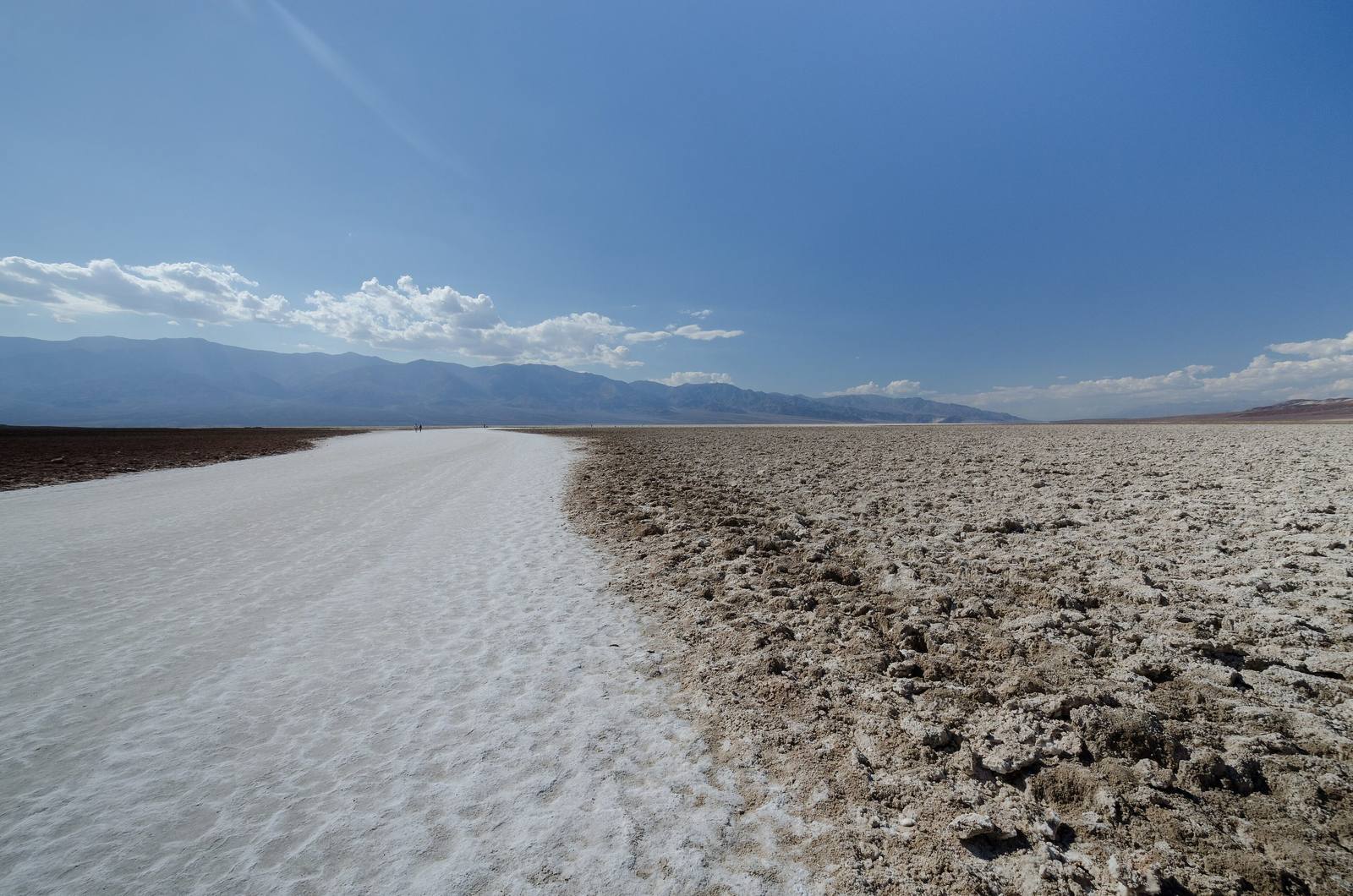
The sign is on the cliff behind you, small and white and faintly absurd: SEA LEVEL, 282 feet overhead. That is the arithmetic of Badwater Basin, the lowest ground in North America and the floor of a valley still sinking as the crust beneath it pulls apart. The salt flats run to nearly two hundred square miles, mostly sodium chloride with calcite, gypsum, and borax mixed through, and where groundwater rises and evaporates the crust buckles into the hexagonal polygons the park is known for. A quarter mile past the end of the boardwalk puts you out among them.

The name comes from the spring beside the parking area. The water is too saline to drink, and the story goes that a surveyor mapping the valley noted his mule would not touch it. The pool is not a roadside curiosity: a snail found nowhere else on earth lives in it, which is why the boardwalk is there and why you stay on it. Look west from the salt and Telescope Peak stands 11,049 feet above the same ground, more than two vertical miles inside a few horizontal ones. Look east and up for the sign.

Rain rearranges all of it, rarely. Under two inches fall here in an average year against an evaporation rate near 150 inches, so the shallow lakes that appear after a real storm are the briefest ghost of Pleistocene Lake Manly, gone in weeks. Summer on this salt is genuinely lethal ground. October through April, and carry water anyway.

Visitor Info

โฑ
Time Needed
An hour, longer if you walk out onto the polygons.
๐ŸŽŸ
Admission
Park entrance fee (30 dollars per vehicle, valid seven days). The park is cashless.
๐Ÿ“…
Best Season
October through April. Summer heat on the salt regularly passes 120 degrees.
๐Ÿ›ฃ๏ธ
Highway
Badwater Road (CA-178)

On the Map

Stories

A story featuring this place

Go deeper into the history and character of this stop

Nature
The Fish That Outlived the Lake
JoAnn ยท 7 min read

Nearby

The closest stops worth working into your route

natural2.4 mi away
Dantes View
A 5,475-foot balcony on the Black Mountains crest with Badwater a vertical mile below.
geological13 mi away
Zabriskie Point
Gullied gold badlands eroded out of an ancient lakebed, best at first light.
cultural15 mi away
Furnace Creek
The valley hub, the hottest air temperature ever officially recorded, and the Timbisha village that was here first.
cultural20 mi away
Amargosa Opera House
A dancer painted her own audience on the walls of a desert hall and performed for them for forty years.
natural32 mi away
Mesquite Flat Sand Dunes
Fourteen square miles of dunes near Stovepipe Wells, and the easiest sand in the park to reach.
historical46 mi away
Rhyolite
The most complete ghost town in Nevada โ€” a stone city with an opera house and a marble-stepped bank that rose and died inside a decade, now the most photographed ruin in the West.