Home / California / Eastern Sierra & Owens Valley / Mount Whitney
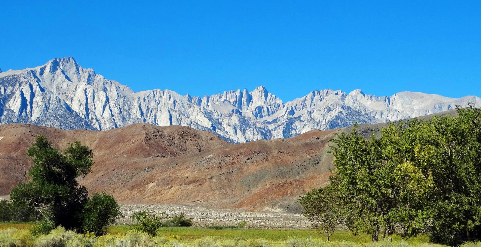
Mount Whitneyinkknife_2000 / CC BY-SA 2.0 via Wikimedia Commons
🌲Natural

Mount Whitney

Part ofEastern Sierra & Owens Valley
On this driveU.S. 395: The Eastern Sierra

At 14,505 feet, the highest summit in the contiguous United States, eighty miles from the lowest point.

⏱
Duration
An hour for the drive to Whitney Portal; twelve to fourteen hours for a summit day hike.
🎟
Admission
Whitney Portal is free to drive to and park. Hiking into the Whitney Zone requires a permit year-round, with a fee during quota season.
πŸ“…
Best Season
Late June through September for the trail; the upper Portal road is closed in winter.
πŸ’‘
Fun Fact
The summit and Badwater Basin, the highest and lowest points in the contiguous United States, sit less than ninety miles apart.

The Story

Nothing else in the Lower 48 stands higher. Mount Whitney tops out at 14,505 feet on the Sierra crest, and the geographic joke of the Eastern Sierra is that the lowest ground in North America lies under ninety miles east of it, both visible on a clear day from the right overlook. The peak was named in 1864 for Josiah Whitney, the state geologist whose survey mapped it.

The standard route is not a climb but a very long walk: 22 miles round trip from Whitney Portal at 8,360 feet, gaining more than six thousand vertical feet, including ninety-nine switchbacks up to Trail Crest. It is non-technical when the snow is gone and genuinely serious anyway. Most day hikers leave in the dark and finish in twelve to fourteen hours, and altitude turns back a good share of them regardless of fitness.

Permits are required year-round, and during the quota season from May 1 to November 1 they go through a lottery that opens on recreation.gov each February, with a hundred day-use and sixty overnight spots a day. Plan a year ahead or plan to lose. The summit is also the southern terminus of the John Muir Trail.

If you are not hiking it, drive the thirteen miles up Whitney Portal Road from Lone Pine anyway. The road climbs through the Alabama Hills and ends in granite and running water, and there is a store at the top that makes an outsized pancake.

Visitor Info

⏱
Time Needed
An hour for the drive to Whitney Portal; twelve to fourteen hours for a summit day hike.
🎟
Admission
Whitney Portal is free to drive to and park. Hiking into the Whitney Zone requires a permit year-round, with a fee during quota season.
πŸ“…
Best Season
Late June through September for the trail; the upper Portal road is closed in winter.
πŸ›£οΈ
Highway
Whitney Portal Road (off US-395)

On the Map

Nearby

The closest stops worth working into your route

geological11 mi away
Alabama Hills
Rounded golden granite under the Sierra wall, and Hollywoods oldest outdoor set.
historical13 mi away
Manzanar National Historic Site
A concentration camp on twice-taken ground, where the United States imprisoned more than eleven thousand of its own.
natural25 mi away
Owens Lake
Patsiata, the lake Los Angeles drank, and the most expensive dust in America.
geological41 mi away
Racetrack Playa
A dead-flat lakebed where rocks leave trails behind them, twenty-seven miles down a tire-shredding road.
cultural55 mi away
Bishop
The Eastern Sierras working capital, and the home of the NΓΌΓΌmΓΌ who were traded out of their own valley.
geological55 mi away
Ubehebe Crater
A half-mile-wide steam-blast crater at the north end of the valley, and one of the youngest volcanoes in the park.