Home / California / Death Valley & the Basin Ranges / Mesquite Flat Sand Dunes
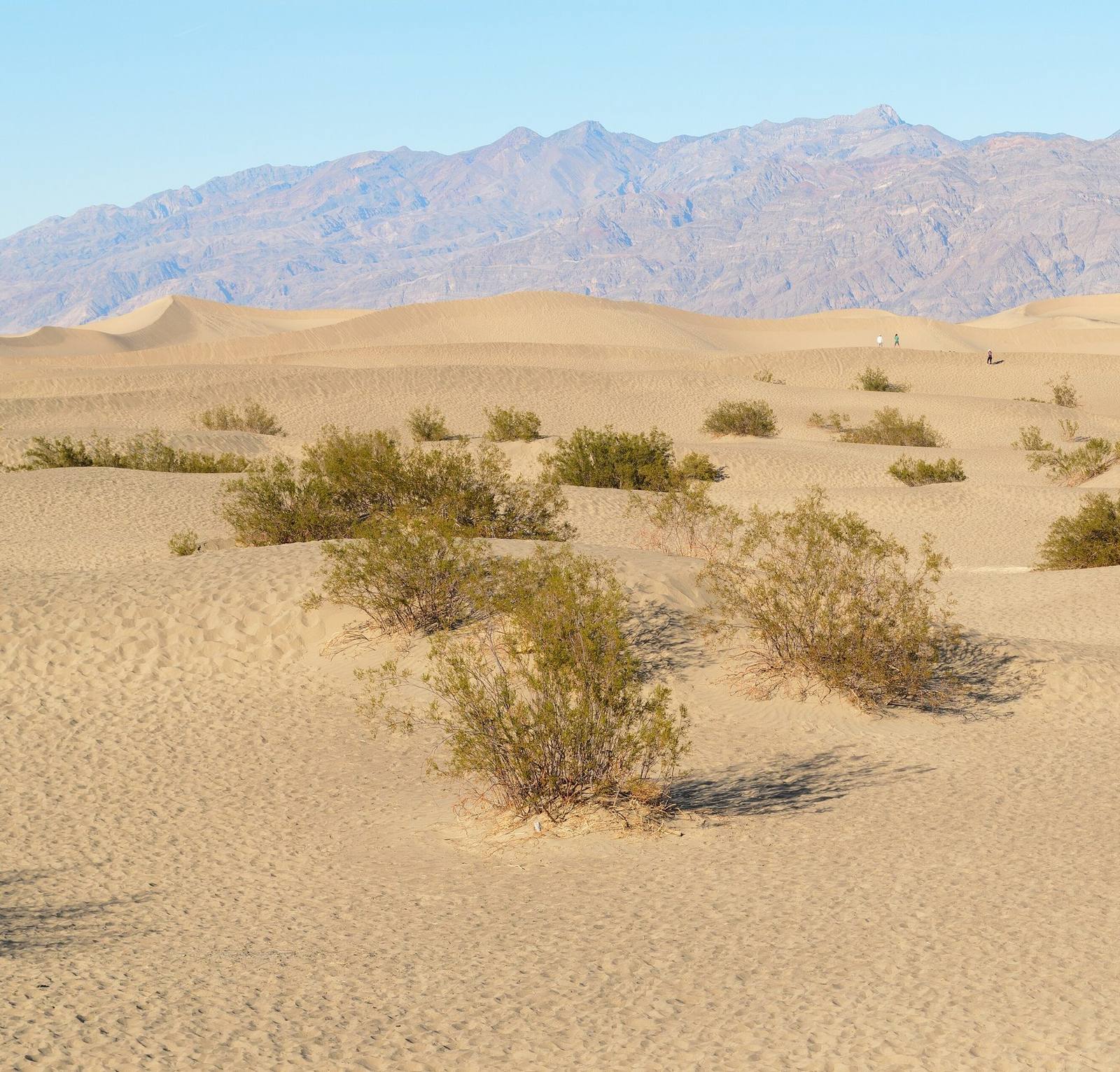
Mesquite Flat Sand DunesKing of Hearts / CC BY-SA 3.0 via Wikimedia Commons
๐ŸŒฒNatural

Mesquite Flat Sand Dunes

Part ofDeath Valley & the Basin Ranges
On this driveCalifornia 190: Across Death Valley

Fourteen square miles of dunes near Stovepipe Wells, and the easiest sand in the park to reach.

โฑ
Duration
One to two hours; about two miles round trip to the tallest dune.
๐ŸŽŸ
Admission
Park entrance fee (30 dollars per vehicle, valid seven days). The park is cashless.
๐Ÿ“…
Best Season
October through April. There is no shade anywhere in the dune field.
๐Ÿ’ก
Fun Fact
The polygon-cracked clay between the dunes is the floor of an ancient lakebed, not dried mud from recent rain.

The Story

Sand is rarer in Death Valley than the postcards suggest. Less than one percent of the park is dune, because dunes need three things at once: a source of sand, wind to move it, and mountains positioned to stop it going any further. Mesquite Flat has all three. Eroding ranges to the north supply the quartz and feldspar grains, the draft between Towne Pass and Daylight Pass carries them, and the mountains to the south hold them in place across roughly fourteen square miles.

The field contains crescent, linear, and star-shaped dunes, and the tallest rise about a hundred feet, which is modest by dune standards and plenty when you are walking up one. Between them the floor is polygon-cracked clay, the bed of a lake that dried long ago. The mesquite trees that name the place build hummocks around themselves and keep growing upward as sand buries them, leaving bare trunks exposed where the sand has since moved on. Kangaroo rats and sidewinders live here; the tracks at dawn are usually better than the wildlife.

Access is unusually easy for this park: a paved lot off CA-190 a couple of miles east of Stovepipe Wells, and then you simply walk in. Low sun is the whole point, morning or evening, when the ridgelines separate into edges. The dunes stood in for Tatooine in the first Star Wars films, which is why some visitors arrive already knowing what they look like.

Visitor Info

โฑ
Time Needed
One to two hours; about two miles round trip to the tallest dune.
๐ŸŽŸ
Admission
Park entrance fee (30 dollars per vehicle, valid seven days). The park is cashless.
๐Ÿ“…
Best Season
October through April. There is no shade anywhere in the dune field.
๐Ÿ›ฃ๏ธ
Highway
CA-190

On the Map

Stories

A story featuring this place

Go deeper into the history and character of this stop

Nature
The Fish That Outlived the Lake
JoAnn ยท 7 min read

Nearby

The closest stops worth working into your route

cultural18 mi away
Furnace Creek
The valley hub, the hottest air temperature ever officially recorded, and the Timbisha village that was here first.
geological21 mi away
Zabriskie Point
Gullied gold badlands eroded out of an ancient lakebed, best at first light.
geological25 mi away
Racetrack Playa
A dead-flat lakebed where rocks leave trails behind them, twenty-seven miles down a tire-shredding road.
historical26 mi away
Rhyolite
The most complete ghost town in Nevada โ€” a stone city with an opera house and a marble-stepped bank that rose and died inside a decade, now the most photographed ruin in the West.
cultural29 mi away
Beatty
The town that water built and water kept โ€” the Bullfrog boom's lone survivor, now Nevada's gateway to Death Valley, with wild burros wandering Main Street.
natural32 mi away
Badwater Basin
The lowest ground in North America, a salt pan 282 feet below sea level under two miles of mountain.

Historical markers nearby

Roadside plaques and monuments within a short detour

Marker29 mi away
Beatty
Nevada