Home / California / Eastern Sierra & Owens Valley / Bishop
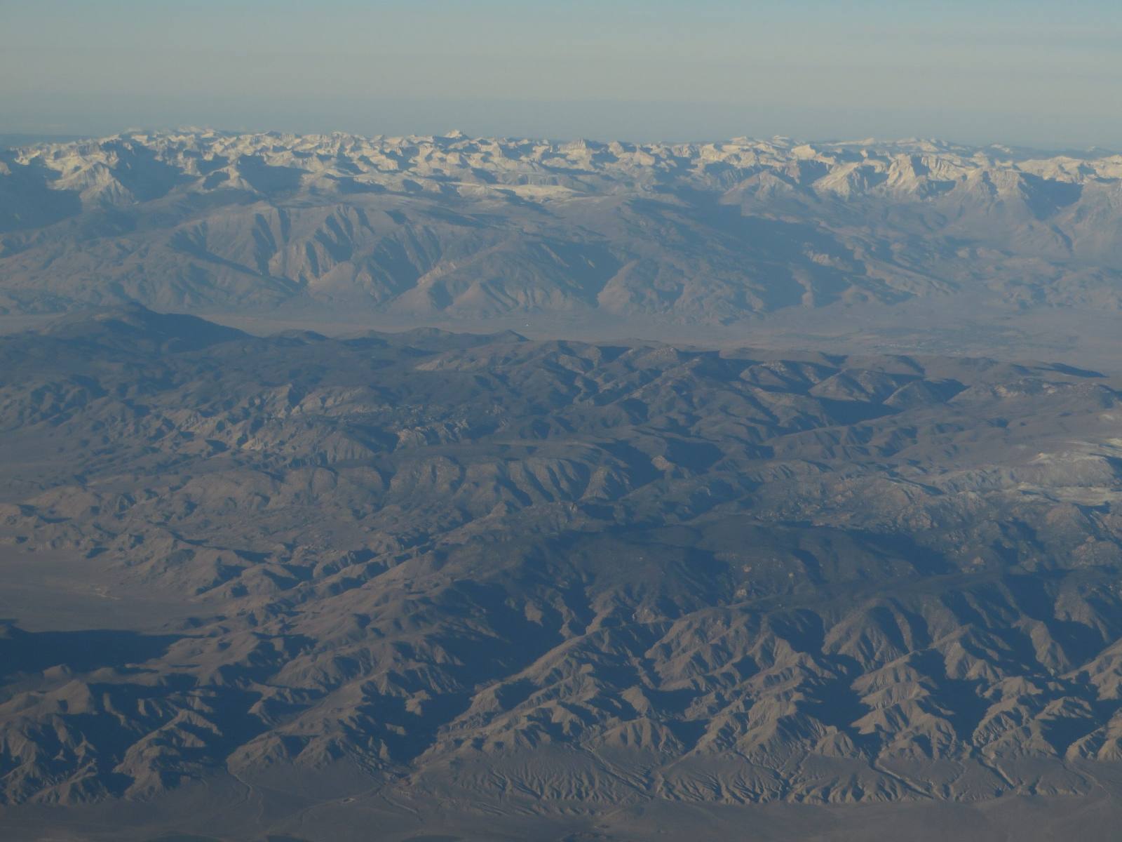
BishopKen Lund / CC BY-SA 2.0 via Wikimedia Commons
🎭Cultural

Bishop

Part ofEastern Sierra & Owens Valley
On this driveU.S. 395: The Eastern Sierra

The Eastern Sierras working capital, and the home of the Nüümü who were traded out of their own valley.

Duration
A couple of hours, or a night as a base for the valley.
🎟
Admission
Free to visit; the cultural center charges a modest admission.
📅
Best Season
Year-round; the town stays open when the high country closes.
💡
Fun Fact
Bishop is the largest town in Inyo County and the last full-service stop for a hundred miles in several directions.

The Story

Bishop is where the Eastern Sierra does its errands: gear shops, a hospital, real groceries, fuel that is not a rip-off, and a bakery running since 1938 that draws a line out the door for a loaf of sheepherder bread. The town sits at 4,150 feet with the Sierra crest on one side and the White Mountains on the other, which makes it the practical base for most of what people come to this valley to do.

It is also the seat of the Bishop Paiute Tribe, the Nüümü, whose name for themselves means the original people. The arithmetic of their reservation says most of what needs saying about the valley. In 1912 the federal government set aside more than 67,000 acres in Owens Valley for the Nüümü. In 1932 President Hoover revoked it to protect Los Angeles water. In 1937 Congress authorized a trade: the tribes gave up 2,913 acres of federally held land for 1,391 acres owned by the city, split three ways among Bishop, Big Pine, and Lone Pine. The city kept the water rights. The Bishop reservation today is 875 acres, and the tribe is the fifth largest in California with one of the smallest land bases in it.

The Owens Valley Paiute-Shoshone Cultural Center in town tells that history from the Nüümü side, which is the version worth hearing. From here the road to the Ancient Bristlecone Pine Forest climbs east into the Whites.

Visitor Info

Time Needed
A couple of hours, or a night as a base for the valley.
🎟
Admission
Free to visit; the cultural center charges a modest admission.
📅
Best Season
Year-round; the town stays open when the high country closes.
🛣️
Highway
US-395

On the Map

Stories

A story featuring this place

Go deeper into the history and character of this stop

Geology
The Crater You Drive Across
JoAnn · 6 min read

Nearby

The closest stops worth working into your route

natural12 mi away
Ancient Bristlecone Pine Forest
Trees older than the pyramids, growing on white dolomite at ten thousand feet.
geological42 mi away
Devils Postpile National Monument
A wall of hexagonal basalt columns with a glacier-polished top, and a 101-foot waterfall downstream.
historical46 mi away
Manzanar National Historic Site
A concentration camp on twice-taken ground, where the United States imprisoned more than eleven thousand of its own.
natural54 mi away
Mono Lake
A saline lake older than most of the Sierra, with tufa towers and a water fight it eventually won.
natural55 mi away
Mount Whitney
At 14,505 feet, the highest summit in the contiguous United States, eighty miles from the lowest point.
geological57 mi away
Ubehebe Crater
A half-mile-wide steam-blast crater at the north end of the valley, and one of the youngest volcanoes in the park.

Historical markers nearby

Roadside plaques and monuments within a short detour

Marker28 mi away
Fish Lake Valley
Nevada