New Mexico
From the Four Corners down to the Chihuahuan Desert — the great houses of Chaco Canyon, Santa Fe at the end of the trail from Missouri, the white gypsum of White Sands, the Trinity Site where the first atomic bomb was tested, and the homelands of twenty-three tribal nations, nineteen of them Pueblos.
All of New Mexico, One Map
Tap any dot to discover what makes a place worth the stop.
Plan a Trip
Day-by-day plans — real drive times, honest overnights, and the permit fine print sorted before you leave.
Scenic Drives
The roads themselves — traced end to end, with the stops worth making along the way.
NM-152 and NM-15: City of Rocks to the Gila Cliff Dwellings
From the volcanic pinnacles of City of Rocks up the Mimbres valley, past the Santa Rita copper pit and through Silver City, then over NM-15's mountain switchbacks to the Gila Cliff Dwellings.
Route 66: Albuquerque to Holbrook
About 234 miles of Route 66 and I-40 from Albuquerque's West Mesa to Holbrook, between two rivers both named Puerco: a 1933 truss bridge at one end, the Laguna mission and Mount Taylor in the middle, and the Church Rock uranium spill that ran down the second Puerco into Arizona.
Route 66: Glenrio to Albuquerque
Across the eastern plains from the ghost town on the Texas line through Tucumcari and Santa Rosa, on the 1937 cut-off that bypassed Santa Fe, to Albuquerque's Central Avenue.
The High Road to Taos: Santa Fe to Taos Pueblo
From the Santa Fe plaza through the land-grant villages of the Sangre de Cristo foothills, Chimayó, Truchas and Las Trampas, to Ranchos de Taos and Taos Pueblo.
The Santa Fe Trail: Bent's Old Fort over Raton Pass
About 110 miles of the Santa Fe Trail's Mountain Branch on US-350 and I-25, from Bent's Old Fort past the Timpas ruts and Iron Spring to Trinidad, Fishers Peak and over Raton Pass into New Mexico.
The Santa Fe Trail: Raton to Santa Fe
Down the Mountain Branch of the Santa Fe Trail from Raton through Cimarron, Fort Union, Las Vegas and Pecos to the trail's end on the Santa Fe plaza.
Regions of New Mexico
Each region gathers the parks, towns, drives, and roadside stops that define one corner of the state.
Albuquerque & the Middle Rio Grande
The Tiguex pueblos Coronado wintered among, Route 66 down Central Avenue, the Salinas missions left in the 1670s, sandhill cranes, and the Trinity Site.
Chaco & the Four Corners
Chaco Canyon's great houses, Tsé Bitʼaʼí rising off the Diné plateau, Haak'u on its mesa, and the rock where Oñate carved his name in 1605.
Las Cruces, the Gila & the Southwest
The Mesilla plaza under three flags, the first wilderness in the world, the Gila cliff dwellings, Mangas Coloradas and Victorio, and Villa's raid on Columbus.
Route 66 & the Eastern Plains
Hwéeldi at Bosque Redondo and the treaty signed there, the Blue Hole at Santa Rosa, Tucumcari's neon, and the points found at Blackwater Draw.
Santa Fe & the Jemez
The Palace of the Governors and the revolt that emptied it, the ends of two trails, Bandelier's canyon homes, and the hidden city on the Pajarito Plateau.
Taos & the Northern Mountains
Taos Pueblo and the return of Blue Lake, Ohkay Owingeh where Oñate set his first capital, the Jicarilla homeland at Dulce, and O'Keeffe's Abiquiú.
The Pecos & Carlsbad Caverns
The bat flight at Carlsbad Caverns, the cattle trail up the Pecos, Roswell's 1947 debris, and the salt beds where the country buries its nuclear waste.
The Santa Fe Trail & the Northeast
Fort Union's adobe ruins, the plaza where Kearny claimed New Mexico, Pecos Pueblo, the Folsom bison bones, and Capulin's cinder cone.
White Sands & the Sacramento Mountains
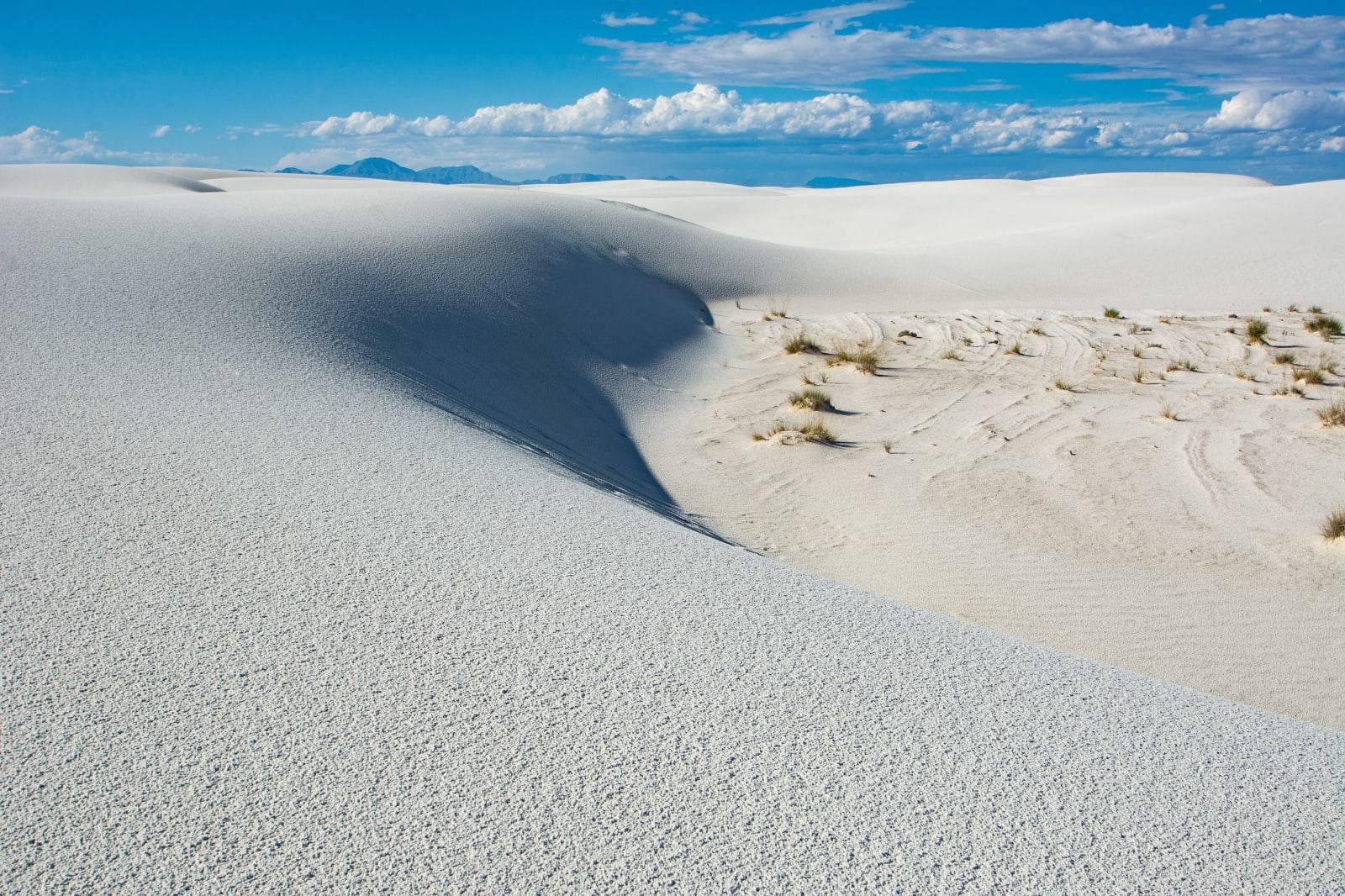
The gypsum dunes and the footprints found in them, the Mescalero Apache homeland, the Lincoln County War, and the cub rescued from the Capitan fire.
Stories from New Mexico
The histories behind the places — the people, the disasters, the inventions, and the long memory of the land.