Missouri
Where the trails began: the Gateway Arch and the confluence at St. Louis, Westport and Independence on the Santa Fe and Oregon roads, the Pony Express stables at St. Joseph, Arrow Rock and the Boonslick, Hannibal's river town, the springs and rivers of the Ozarks, and the homeland of the Osage and Missouria nations.
All of Missouri, One Map
Tap any dot to discover what makes a place worth the stop.
Scenic Drives
The roads themselves — traced end to end, with the stops worth making along the way.
MO-94 and the Katy Trail: St. Charles to Arrow Rock
About 190 miles up the Missouri from St. Charles on Route 94 past Defiance, Augusta and Marthasville, by Jefferson City to Rocheport and Boonville, and on to Arrow Rock.
Route 66 Across Missouri: St. Louis to Joplin
About 316 miles of Route 66 from the Chain of Rocks Bridge around St. Louis, through Pacific, Devils Elbow, Springfield and Carthage to the Kansas line.
The Great River Road: Hannibal to Ste. Genevieve
About 190 miles down the Mississippi on Route 79 from Hannibal through Louisiana and Clarksville, along the St. Louis riverfront, and south to Ste. Genevieve.
Regions of Missouri
Each region gathers the parks, towns, drives, and roadside stops that define one corner of the state.
Branson & the White River Hills
Old Matt's Cabin and the Shepherd of the Hills, Marvel Cave under Silver Dollar City, Wilder's Rocky Ridge Farm, the Glade Top Trail and Roaring River.
Kansas City & the Western Border
The Negro Leagues museum at 18th & Vine, the Independence trail museum, Fort Osage, the Lexington battlefield, Watkins Mill and Island Mound in the Burnt District.
Mark Twain Country & Little Dixie
Clemens's Hannibal and Jim's Journey, the Little Dixie farm counties, the 1861 fight at Athens, the Illinois town of 1673 and Kirksville's osteopathy museum.
Springfield & the Route 66 Southwest
Wilson's Creek battlefield, Carver's birthplace farm, the city where Route 66 got its number, a 1939 motor court, and bison on Osage plains prairie.
St. Joseph & the Grand River Country
The Pony Express stables and Patee House in St. Joseph, the loess hills and snow geese at Loess Bluffs, Pershing's Laclede and Walt Disney's Marceline depot museum.
St. Louis & the Confluence
The Arch and the Old Courthouse of the freedom suits, Joplin's Delmar flat, Grant's White Haven, the 1804 St. Charles landing and the Kimmswick bone bed.
Ste. Genevieve, Cape Girardeau & the Bootheel
French colonial Ste. Genevieve, the Cherokee river crossing of 1838-39, a Lead Belt mill, CCC stonework and petroglyphs, New Madrid's quakes and Towosahgy's mounds.
The Lake of the Ozarks & the Osage River
Ha Ha Tonka's natural bridge and castle ruins, Ozark Caverns, the Bennett and Maramec trout springs, an 1826 ironworks and Route 66 at Devils Elbow.
The Missouri River: Rhineland to Boonslick
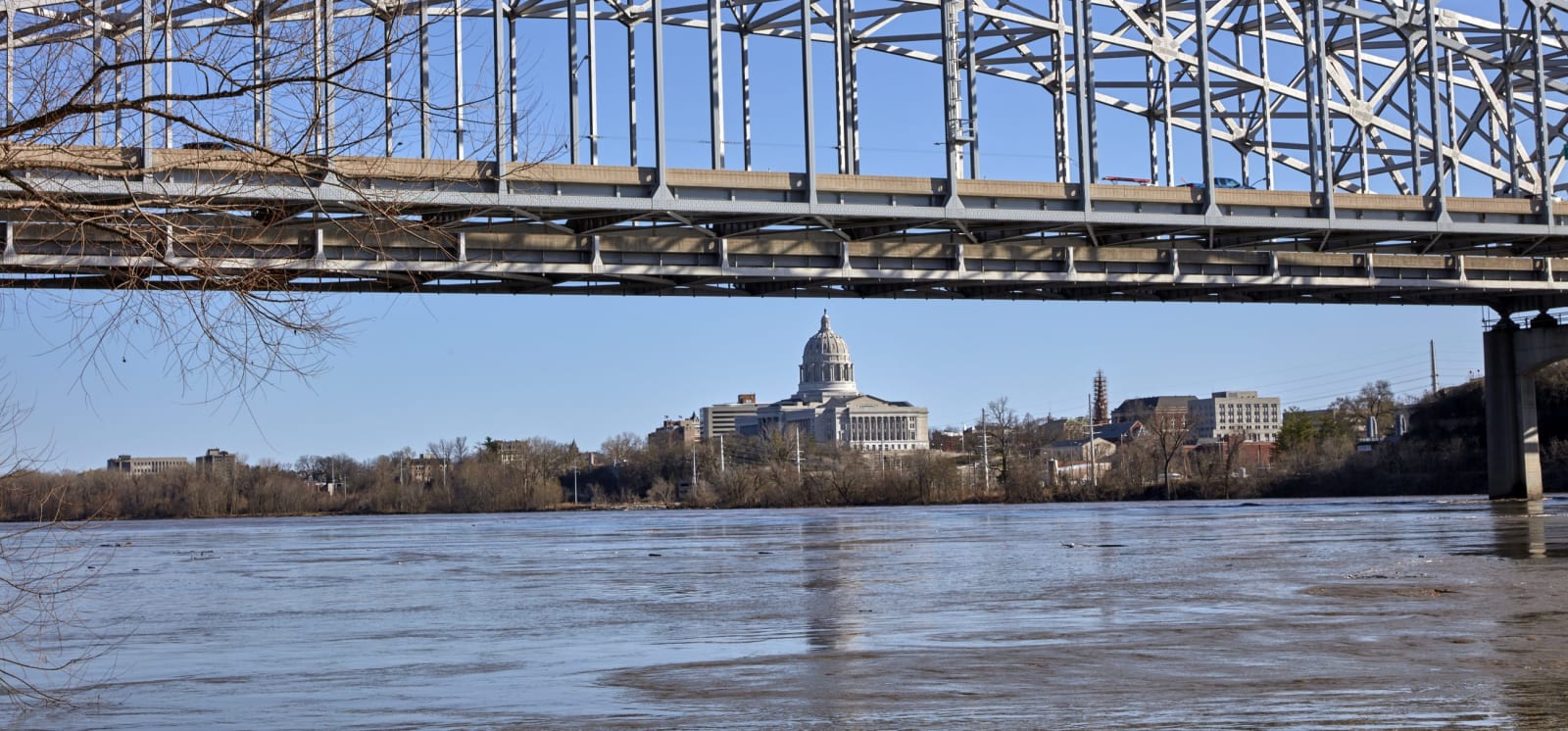
The Katy Trail along the river, Hermann's German houses, the Capitol's Benton mural, Lincoln University, Churchill's Fulton, Arrow Rock and the Missouria homeland.
The Ozark Riverways & the St. Francois Mountains
Big Spring and Alley Mill on the Ozark Riverways, Johnson's Shut-Ins, Elephant Rocks, Fort Davidson at Pilot Knob and Onondaga Cave on the Meramec.
Stories from Missouri
The histories behind the places — the people, the disasters, the inventions, and the long memory of the land.
Historical Markers
Roadside history, plaque by plaque — every marker in Missouri, grouped by county and searchable.
Markers of Missouri
Browse every historical marker across Missouri — organized by county, each with its full plaque text.