Oregon
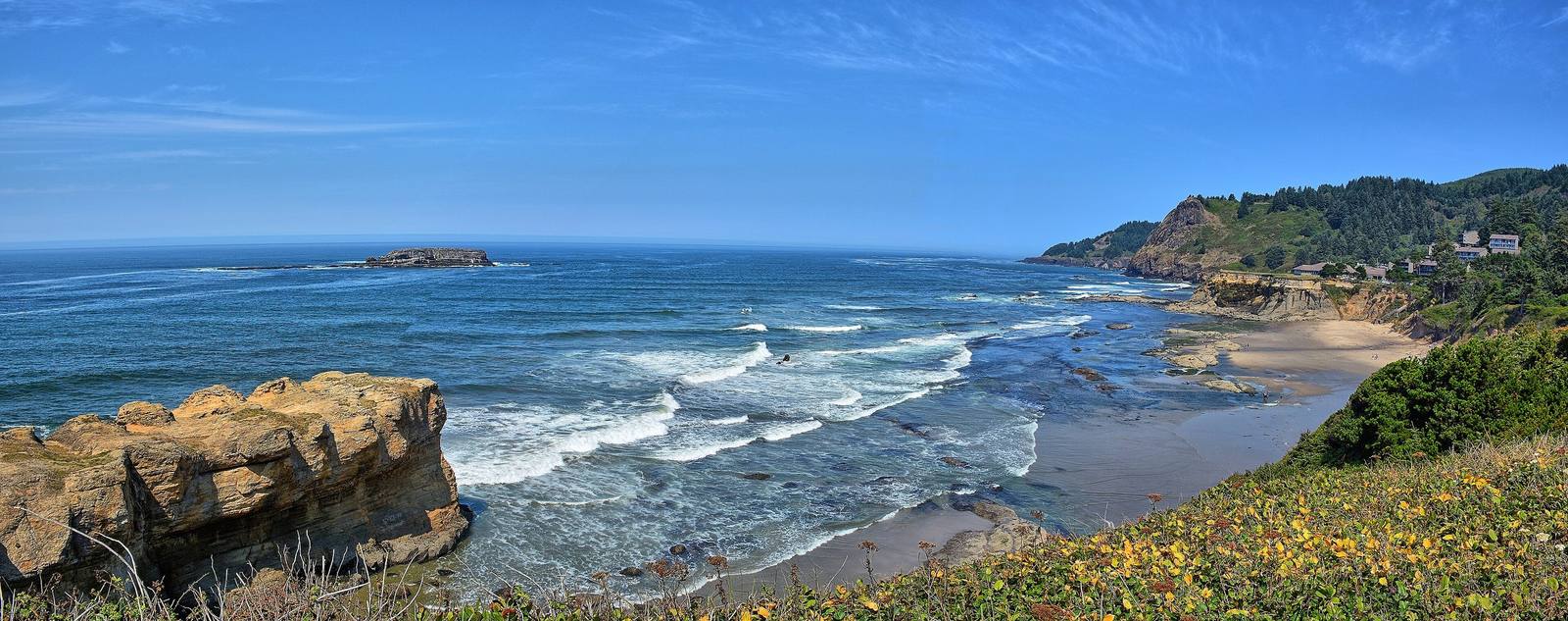
From the mouth of the Columbia to the sagebrush of the high desert — Crater Lake, the deepest lake in the country, the end of the Oregon Trail in the Willamette Valley, ocean beaches open to everyone by law, and the homelands of nine federally recognized tribal nations.
All of Oregon, One Map
Tap any dot to discover what makes a place worth the stop.
Plan a Trip
Day-by-day plans — real drive times, honest overnights, and the permit fine print sorted before you leave.
Scenic Drives
The roads themselves — traced end to end, with the stops worth making along the way.
I-84: The Farewell Bend Crossing
From Boise west across the Treasure Valley and the Snake at Ontario, past Farewell Bend and up the Burnt River to the Oregon Trail Interpretive Center outside Baker City.
Klamath Falls to Crater Lake and the Rim Drive
US-97 along Upper Klamath Lake, through Chiloquin and Fort Klamath on OR-62, up to Rim Village and around the 33-mile Rim Drive above Crater Lake.
NV-140: The Denio Crossing
From Winnemucca up the Quinn River Valley on NV-140 to Denio and the Oregon line, then through Fields and the Catlow Valley to Frenchglen and Steens Mountain.
The Historic Columbia River Highway: Troutdale to The Dalles
Samuel Lancaster's 1913–1922 road through the Gorge: Vista House at Crown Point, the waterfall corridor and Multnomah Falls, then the Rowena Loops down into The Dalles.
U.S. 101: The Wild Rivers Crossing
From Crescent City north across the Oregon line, through the Boardman corridor and over the Rogue at Gold Beach, to Port Orford, Cape Blanco and Bandon.
US-101 on the North Coast: Astoria to Newport
The north half of the Oregon Coast Highway: Fort Clatsop and the Seaside salt works, Cannon Beach, Oswald West, Tillamook, the Three Capes, Depoe Bay and the Yaquina Bay Bridge.
Regions of Oregon
Each region gathers the parks, towns, drives, and roadside stops that define one corner of the state.
Central Oregon
Warm Springs, Wasco and Paiute country east of the Cascades — the Deschutes, Bend and Newberry Volcano, Smith Rock, the Painted Hills, and Kam Wah Chung in John Day.
Crater Lake & the Klamath Basin
Klamath, Modoc and Yahooskin country — Crater Lake, the deepest lake in the country, Upper Klamath Lake and the c'waam, the Klamath Tribes at Chiloquin, and the Modoc graves at Fort Klamath.
Northeast Oregon
Cayuse, Umatilla, Walla Walla and Nez Perce country — Pendleton and the Round-Up, Tamástslikt, the Oregon Trail over the Blue Mountains, Baker City, and Old Joseph's grave at Wallowa Lake.
Portland & the Willamette Valley
Kalapuya country and the end of the Oregon Trail — Oregon City and Willamette Falls, Champoeg, Portland, Salem and Eugene, and the Grand Ronde tribe that bought the falls back in 2019.
Southern Oregon
Takelma country in the Rogue and Umpqua valleys — the Table Rocks, the gold-rush town of Jacksonville, Medford's orchards, Ashland and the Oregon Shakespeare Festival, and the Oregon Caves.
The Columbia River Gorge & Mount Hood
Wasco and Wishram country on the Columbia — Celilo Falls, drowned in 1957, the first scenic highway in America past Multnomah Falls, Sam Barlow's toll road around Mount Hood, and Timberline Lodge.
The North Oregon Coast
Clatsop and Tillamook country from Astoria south — Fort Clatsop where Lewis and Clark wintered, the oldest American town west of the Rockies, Cannon Beach and the Beach Bill, and the Siletz, restored in 1977.
The Oregon High Desert
Wadatika Paiute country in the Great Basin — Malheur Lake and the Burns Paiute, Steens Mountain and the Alvord Desert, the Owyhee canyons, and the ten-thousand-year-old sandals of Fort Rock.
The South Oregon Coast
Coos, Siuslaw and Coquille country from Florence to the California line — forty miles of the Oregon Dunes, Bandon's sea stacks, Cape Blanco's light, and Brookings, bombed from the air in 1942.
Stories from Oregon
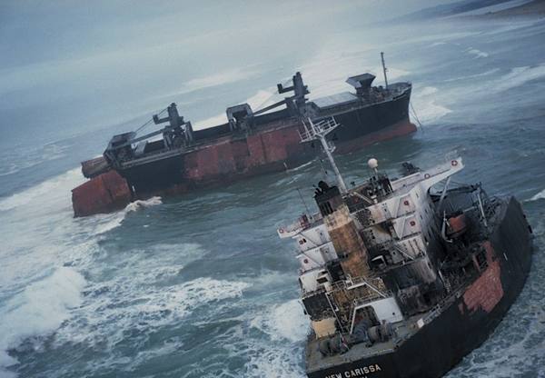
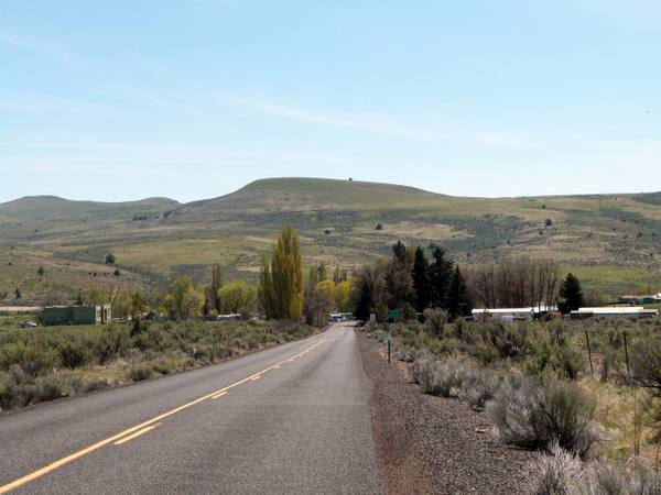
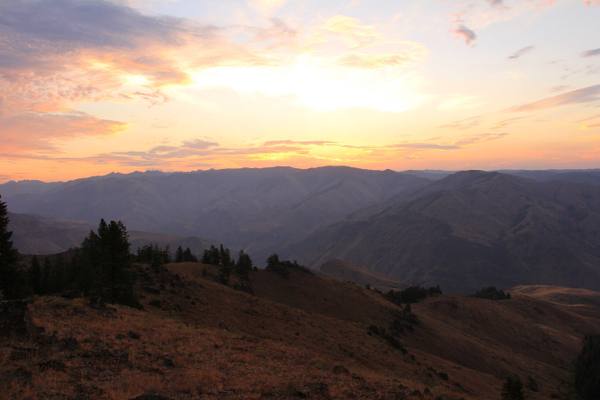
The histories behind the places — the people, the disasters, the inventions, and the long memory of the land.
Historical Markers
Roadside history, plaque by plaque — every marker in Oregon, grouped by county and searchable.
Markers of Oregon
Browse every historical marker across Oregon — organized by county, each with its full plaque text.