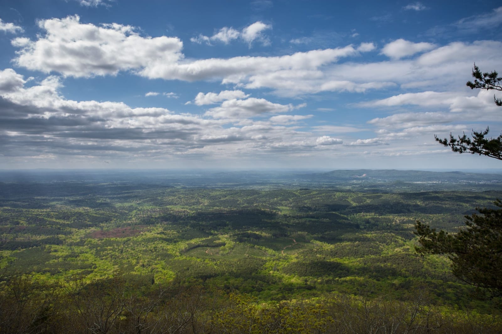
Alabama
Muscle Shoals and the Tennessee Valley, Huntsville, Little River Canyon, Birmingham, Tuscaloosa, Montgomery, Selma and the Black Belt, Tuskegee, the Wiregrass and Mobile Bay, in the homeland of the Muscogee (Creek), Cherokee, Chickasaw and Choctaw peoples.
All of Alabama, One Map
Tap any dot to discover what makes a place worth the stop.
Plan a Trip
Day-by-day plans — real drive times, honest overnights, and the permit fine print sorted before you leave.
Scenic Drives
The roads themselves — traced end to end, with the stops worth making along the way.
Around Mobile Bay: Africatown, Fairhope, Fort Morgan and the Ferry to Dauphin Island
About 82 miles around Mobile Bay, from Africatown and the USS Alabama across the causeway to Fairhope and the Eastern Shore, down the Fort Morgan peninsula, and over the mouth of the bay by ferry to Fort Gaines on Dauphin Island.
Little River Canyon Rim Parkway: Mentone, DeSoto State Park and the Canyon
About 38 miles along the top of Lookout Mountain, from Mentone down the DeSoto Parkway past DeSoto State Park to Little River Falls, then south on Highway 176 along the canyon rim to Canyon Mouth Park.
The Selma to Montgomery National Historic Trail: US 80 from Brown Chapel to the Capitol
About 51 miles on the route of the 1965 voting rights march, from Brown Chapel and the Edmund Pettus Bridge in Selma east on US 80 through Lowndes County to the Alabama State Capitol in Montgomery.
Regions of Alabama
Each region gathers the parks, towns, drives, and roadside stops that define one corner of the state.
Birmingham & Central Alabama
Creek country on the Cahaba, Sloss Furnaces and Vulcan, Rickwood Field, Sixteenth Street Baptist Church and the Civil Rights Institute, Talladega and Oak Mountain.
Huntsville & the Tennessee Valley
Huntsville and the Tennessee Valley: Russell Cave and Cherokee country, the 1819 constitution, Alabama A&M, the Scottsboro Boys and the rockets of Redstone.
Little River Canyon & Northeast Alabama
Little River Canyon and northeast Alabama: Cherokee and Creek country, Fort Payne and removal, Confederate iron, the Anniston Freedom Riders and Cheaha.
Mobile Bay & the Gulf Coast
Mobile Bay and Alabama's Gulf Coast: Creek and Choctaw history, the Clotilda and Africatown, Civil War forts, the Mobile-Tensaw Delta, dunes and white beaches.
Montgomery, Selma & the Black Belt
Fort Toulouse and Old Cahawba, the Edmund Pettus Bridge and Brown Chapel, Montgomery's Legacy Sites and Dexter Avenue: the Creek cession, cotton and the vote.
Muscle Shoals & Northwest Alabama
Mounds at Florence and Oakville, Tuscumbia Landing, W. C. Handy's cabin, FAME and Muscle Shoals Sound, Ivy Green, Wilson Dam, Dismals Canyon and the Sipsey Wilderness.
The Wiregrass & Southeast Alabama
The Wiregrass and southeast Alabama: Creek country on the Chattahoochee, Eufaula's historic streets, peanut farms, Army helicopters and longleaf pine forests.
Tuscaloosa & West Alabama
Moundville's mounds, the Tuscaloosa capitol ruins, Foster Auditorium and Bloody Tuesday, Gaineswood, Greensboro's Safe House and the Aliceville POW museum.
Tuskegee & East Alabama
Horseshoe Bend, Fort Mitchell and Creek removal, Tuskegee's school, airfield and syphilis-study memorial, and Lake Martin over the drowned Black town of Kowaliga.
Stories from Alabama
The histories behind the places — the people, the disasters, the inventions, and the long memory of the land.
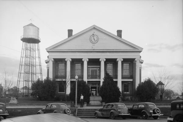
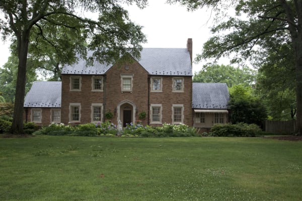
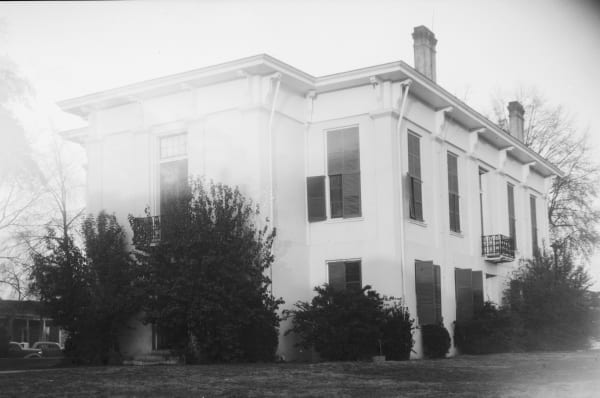
Historical Markers
Roadside history, plaque by plaque — every marker in Alabama, grouped by county and searchable.
Markers of Alabama
Browse every historical marker across Alabama — organized by county, each with its full plaque text.