Texas
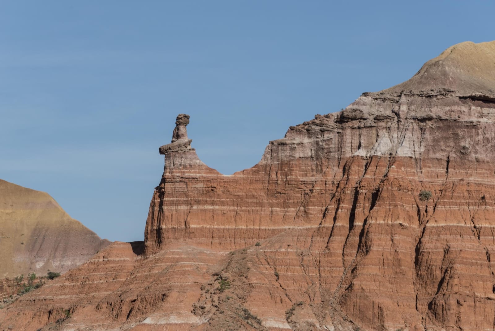
Beginning in the Panhandle, with the rest of Texas to follow: Route 66 from Shamrock to Glenrio, Amarillo's Sixth Street and Cadillac Ranch, Palo Duro and the Caprock Canyons, where the Red River War was fought in 1874, the Texas State Bison Herd, Alibates flint above the Canadian River, and the homeland of the Comanche and Kiowa.
Regions of Texas
Each region gathers the parks, towns, drives, and roadside stops that define one corner of the state.
Amarillo & Route 66
Route 66 from Shamrock's U-Drop Inn to Glenrio, McLean's barbed wire museum, Amarillo's Sixth Street, Cadillac Ranch, Alibates flint and Old Tascosa.
Palo Duro & the Caprock Canyons
Palo Duro Canyon and the 1874 attack on the winter camps, the JA Ranch and the Goodnight house, and Caprock Canyons with the Texas State Bison Herd.
The High Plains & the Canadian River Breaks
XIT ranch country around Dalhart, Lake Meredith in the Canadian River breaks, Borger's 1926 oil boom, the Plains Village towns and the 1874 fight at Adobe Walls.
Historical Markers
Roadside history, plaque by plaque — every marker in Texas, grouped by county and searchable.
Markers of Texas
Browse every historical marker across Texas — organized by county, each with its full plaque text.