Kansas
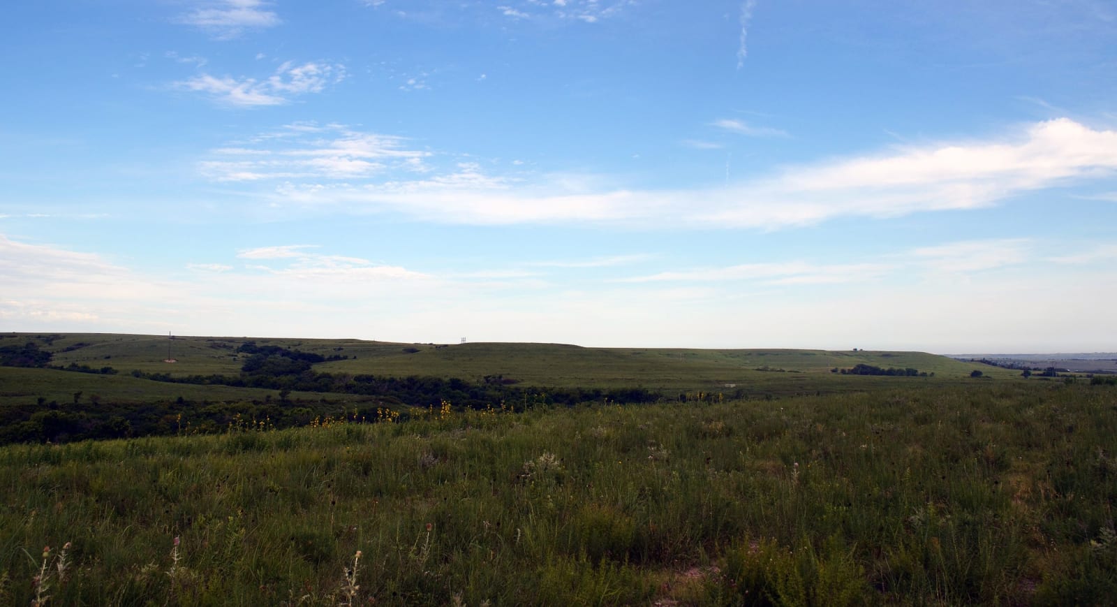
From the Missouri River bluffs to the High Plains: the tallgrass of the Flint Hills, the Santa Fe and Oregon trails, Bleeding Kansas at Lawrence and Osawatomie, the chalk spires of Monument Rocks, Fort Larned and Dodge City, Nicodemus on the Solomon, and the homelands of the Kaw, Osage, Wichita, Pawnee and Cheyenne nations.
All of Kansas, One Map
Tap any dot to discover what makes a place worth the stop.
Plan a Trip
Day-by-day plans — real drive times, honest overnights, and the permit fine print sorted before you leave.
Scenic Drives
The roads themselves — traced end to end, with the stops worth making along the way.
K-177: The Flint Hills Scenic Byway, Council Grove to Cassoday
About 48 miles on K-177 from Council Grove to Cassoday: the Kaw Nation's park, the tallgrass preserve at Strong City, the Cottonwood Falls courthouse, Bazaar's cattle trade and the Pioneer Bluffs ranch.
The Santa Fe Trail: Council Grove to the Dodge City Ruts
About 240 miles of the Santa Fe Trail on US-56 and US-50, from the Osage council ground at Council Grove past Lost Springs, Lyons, Pawnee Rock and Fort Larned to Boot Hill and the ruts west of Dodge City.
US-83: The Chalk Badlands, Oakley to Scott City
About 47 miles on US-83 and K-95 from Oakley to Scott City: the Little Jerusalem badlands, Keystone Gallery's fossils in a 1917 church, Monument Rocks down the county roads and the canyon at Lake Scott.
Regions of Kansas
Each region gathers the parks, towns, drives, and roadside stops that define one corner of the state.
Cheyenne Bottoms & the Great Bend
Cheyenne Bottoms' shorebird pools, Quivira's salt marsh and whooping cranes, Fort Larned on the Pawnee Fork, and the Wichita towns Coronado called Quivira.
Dodge City & the Southwest
Boot Hill and the trail ruts west of Dodge, Point of Rocks on the Cimarron National Grassland, Liberal's bomber-field air museum and Garden City's zoo.
Kansas City & the Northeast
Quindaro's ruins, the Shawnee Indian Mission, Haskell's boarding school museum, Monroe Elementary in Topeka, Osawatomie's Adair cabin and Atchison's Earhart hangar.
Monument Rocks & the High Plains
Monument Rocks and the chalk badlands, the spring canyon at Lake Scott, Black homesteaders' Nicodemus, the Arikaree Breaks and Mount Sunflower on the Colorado line.
The Flint Hills
Unplowed tallgrass and spring burns, the Spring Hill ranch at Strong City, Konza's trails, the 1873 courthouse at Cottonwood Falls, and the Kaw Nation's own land.
The Little Balkans & the Southeast
Fort Scott and Mine Creek on the old border, Big Brutus in the strip pits, the Amazon Army's coal camps, Route 66's rainbow bridge and the Ingalls claim.
The Red Hills & Medicine Lodge
Red gypsum-capped mesas, the 1867 treaty ground at Medicine Lodge, Carry Nation's house, Greensburg's Big Well and Meade's once-artesian springs.
The Smoky Hills
Post rock fences, Eisenhower's Abilene, Swedish Lindsborg, Rock City's concretions, the Garden of Eden at Lucas, Hays chalk fossils and a Pawnee earth lodge floor.
Wichita & South Central Kansas
Etzanoa on the Walnut River, the Keeper of the Plains at Wichita's confluence, Mennonite North Newton, and Hutchinson's salt mine and space museum.
Stories from Kansas
The histories behind the places — the people, the disasters, the inventions, and the long memory of the land.


Historical Markers
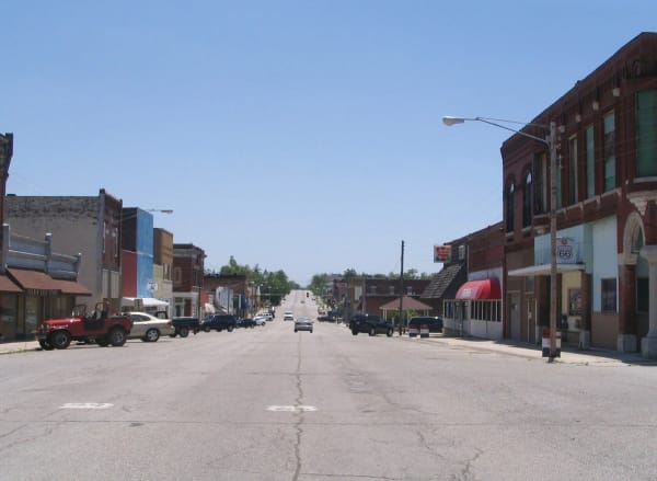
Roadside history, plaque by plaque — every marker in Kansas, grouped by county and searchable.
Markers of Kansas
Browse every historical marker across Kansas — organized by county, each with its full plaque text.