Oklahoma
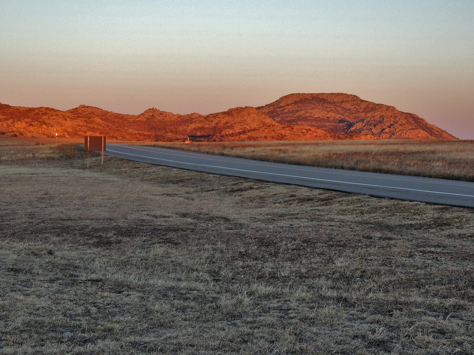
From the Panhandle mesas to the Ouachita pines: Route 66 and the Chisholm Trail, the Wichita Mountains, the Washita and Fort Reno, Greenwood in Tulsa, the Osage Hills, and the capitals of the Cherokee, Muscogee, Choctaw, Chickasaw and Seminole nations, in a state that is home to thirty-nine tribal nations.
All of Oklahoma, One Map
Tap any dot to discover what makes a place worth the stop.
Scenic Drives
The roads themselves — traced end to end, with the stops worth making along the way.
Route 66 Across Oklahoma: Quapaw to Texola
About 376 miles of Route 66 from the Kansas line at Quapaw through Miami, Claremore, Tulsa, Chandler, Oklahoma City, Clinton, Elk City and Sayre to Texola.
The Chisholm Trail on US-81: Red River to Caldwell
About 233 miles of US-81 along the Chisholm Trail from the Red River below Terral through Duncan, Chickasha, El Reno, Kingfisher and Enid to Caldwell, Kansas.
The Talimena Scenic Drive: Tuskahoma to Mena
About 81 miles from the Choctaw Nation's Tvshkahomma capitol up the Kiamichi Valley to Talihina, then OK-1 and AR-88 along Winding Stair and Rich mountains to Mena, Arkansas.
Regions of Oklahoma
Each region gathers the parks, towns, drives, and roadside stops that define one corner of the state.
Green Country & the Ozark Hills
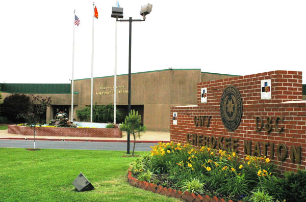
Tahlequah's Cherokee capitol and court, the Saline courthouse, Sequoyah's 1829 cabin, Fort Gibson at Three Forks, Honey Springs and Route 66 at Miami.
No Man's Land & the Northwest
Black Mesa and the state high point, the Panhandle's own museum, an alabaster cavern, the Glass Mountains, selenite digging and a homesteader's sod house.
Oklahoma City & the Cross Timbers
The First Americans Museum, the National Memorial, Fort Reno, the Potawatomi heritage center in Shawnee, Seminole Wewoka and Boley in the post-oak Cross Timbers.
Route 66 West & the Washita
Old 66 from Clinton to Texola, two road museums, Sayre's domed courthouse, the Washita where Black Kettle's village was attacked, and Roman Nose canyon.
The Arbuckles & Chickasaw Country
The Chickasaw Cultural Center and the Tishomingo capitol, Sulphur's springs and CCC stonework, Turner Falls on Honey Creek and Lake Murray's Tucker Tower.
The Cherokee Outlet & the Osage Hills
The 1893 Outlet run at Enid, Ponca City's oil mansion, the Kaw and Ponca nations' own places, Osage Pawhuska, and bison on the tallgrass.
The Kiamichi & Choctaw Country
The Choctaw Cultural Center at Calera, the Tvshkahomma capitol, Fort Towson on the Red River, Beavers Bend on the Mountain Fork and the Spiro mounds.
The Wichita Mountains & the Southwest
Mount Scott and the Wichita bison range, the Comanche Nation's museum, Anadarko's Plains art, Quartz Mountain, Old Greer County and the Chisholm Trail at Duncan.
Tulsa & Bartlesville
The Lochapoka council oak where Tulsa began, Greenwood and the 1921 massacre, Philbrook and the Phillips house, Okmulgee's capitol and Will Rogers.
Stories from Oklahoma
The histories behind the places — the people, the disasters, the inventions, and the long memory of the land.
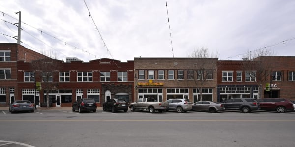


Historical Markers
Roadside history, plaque by plaque — every marker in Oklahoma, grouped by county and searchable.
Markers of Oklahoma
Browse every historical marker across Oklahoma — organized by county, each with its full plaque text.