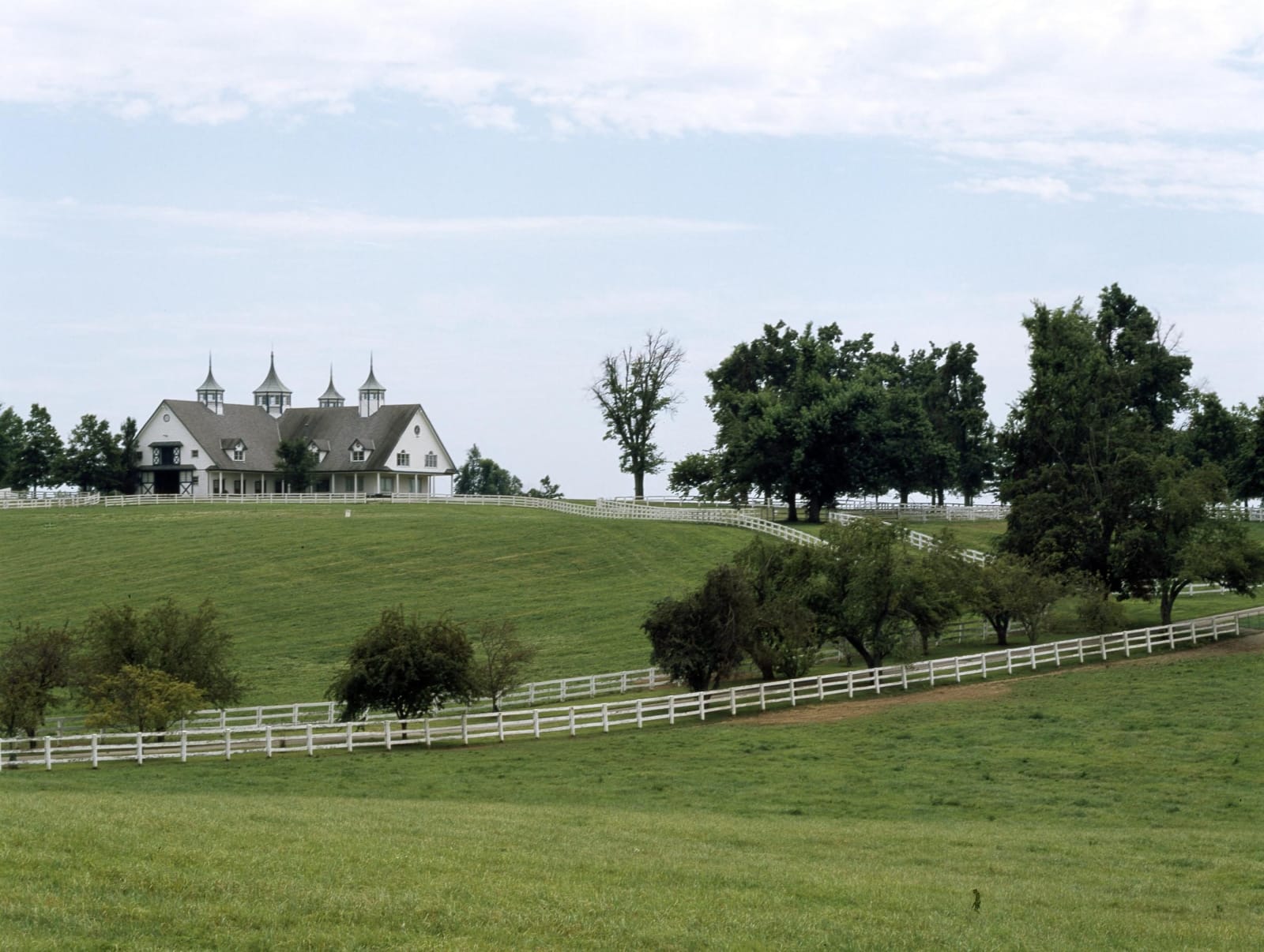
A cupola-topped white horse barn on a hilltop above rolling bluegrass pasture crossed by white plank fences near Lexington.
Carol M. Highsmith / public domain via Library of Congress
A Road Trip Guide

Kentucky

Louisville and the Ohio River, Lexington and the Bluegrass, Bardstown and Lincoln country, Mammoth Cave, Lake Cumberland, Cumberland Gap and the coalfields, Red River Gorge, Owensboro and Paducah, in the homeland of the Shawnee, Cherokee, Chickasaw and Yuchi peoples.

111 places · 10 regions · 11 stories · 3 drives · 1 itinerary · 1075 markers

All of Kentucky, One Map

Tap any dot to discover what makes a place worth the stop.

Architectural
Culinary
Cultural
Geological
Historical
Industrial
Natural
Recreational

Plan a Trip

Day-by-day plans — real drive times, honest overnights, and the permit fine print sorted before you leave.

7-Day Itinerary

Louisville, Bardstown, Mammoth Cave, the Bluegrass, Red River Gorge and Cumberland Falls in 7 Days

A loop through Kentucky from Louisville: the riverfront, the Muhammad Ali Center and Churchill Downs, Bardstown and the Lincoln farms, Mammoth Cave and Hidden River Cave, Shaker Village, Frankfort and Old Frankfort Pike, Cheapside, Ashland, the Horse Park and Camp Nelson, the Red River Gorge and Natural Bridge, Cumberland Falls, Corbin, Renfro Valley and Berea, ending in Lexington.

Days
7
Distance
704.3 mi
Best
spring · fall
See the day-by-day →

Scenic Drives

The roads themselves — traced end to end, with the stops worth making along the way.

Scenic Byway

Old Frankfort Pike: Lexington to Frankfort through the Horse Farms

About 28 miles from Cheapside in downtown Lexington west on Old Frankfort Pike, KY 1681, among the horse farms and dry stone fences of Fayette and Woodford counties, then down US 421 into Frankfort to the Old State Capitol and Buffalo Trace.

Distance
28 mi
Drive
1 hrs
Best
Spring · Fall
Plan this drive →
Scenic Byway

Red River Gorge Scenic Byway: Stanton, Nada Tunnel and Natural Bridge

About 40 miles through the Daniel Boone National Forest, from Stanton on KY 11 and 15 through the one-lane Nada Tunnel into the Red River Gorge, east along the river on KY 715 past Gladie and Sky Bridge, and back by Slade to Natural Bridge.

Distance
40 mi
Drive
1.3 hrs
Best
Spring · Summer · Fall
Plan this drive →
Scenic Byway

The Country Music Highway: US 23 from Greenbo Lake to Pikeville

About 122 miles on the Country Music Highway, from Greenbo Lake and the Ohio River at Greenup through Ashland, then south up the Big Sandy valley past the US 23 museum at Paintsville to Dils Cemetery in Pikeville.

Distance
122 mi
Drive
2.7 hrs
Best
Spring · Fall
Plan this drive →

Regions of Kentucky

Each region gathers the parks, towns, drives, and roadside stops that define one corner of the state.

Region

Bardstown, Bourbon & Lincoln Country

Lincoln's birthplace and Knob Creek, Federal Hill and the proto-cathedral at Bardstown, the Abbey of Gethsemani, Maker's Mark and the Whitley House on the old frontier.

11 places to explore
Explore region →
Region

Cumberland Gap & the Coalfields

Cumberland Gap and the Pinnacle, Lynch's Portal 31 and Benham's coal museum, Loretta Lynn's Butcher Hollow, the Breaks gorge and the old settlement schools.

11 places to explore
Explore region →
Region

Lake Cumberland & the Daniel Boone Country

Cumberland Falls and its moonbow, Lake Cumberland, Blue Heron's coal camp on the Big South Fork, Mill Springs battlefield, Boone's Trace at London and Renfro Valley.

10 places to explore
Explore region →
Region

Lexington, Frankfort & the Bluegrass

Camp Nelson, Ashland and Cheapside, Shaker Village, Perryville, Fort Boonesborough, Berea College, Frankfort's Old State Capitol and the Kentucky Horse Park.

11 places to explore
Explore region →
Region

Louisville & the Ohio River

Louisville and the Ohio River counties: the Falls, Locust Grove and Farmington, the Western Branch Library, Churchill Downs, Ali's city, and Bernheim's knobs.

12 places to explore
Explore region →
Region

Mammoth Cave & South-Central Kentucky

Mammoth Cave and Stephen Bishop, Hidden River and Lost River caves, the SEEK Museum, South Union's Shakers and the Davis obelisk, across Kentucky's karst south.

11 places to explore
Explore region →
Region

Northern Kentucky & the River Towns

Ohio River country from Covington to Vanceburg: Big Bone Lick, the Blue Licks battlefield, Maysville and Old Washington, and the crossings people made to freedom.

12 places to explore
Explore region →
Region

Owensboro & the Western Coalfield

Bill Monroe's Rosine and Owensboro's bluegrass hall, mutton barbecue, Audubon's Henderson, Prine's lost Paradise, and the Cherokee graves at Hopkinsville.

11 places to explore
Explore region →
Region

Paducah & Land Between the Lakes

Wickliffe Mounds, Columbus-Belmont's river chain, Mantle Rock, Paducah's floodwall and Hotel Metropolitan, Kentucky Dam and the lost towns of Land Between the Lakes.

10 places to explore
Explore region →
Region

Red River Gorge & the Eastern Hills

Red River Gorge's arches and rock shelters, Natural Bridge, the dam that was never built, Carter Caves, Jesse Stuart's Greenbo Lake and Morehead's Moonlight Schools.

12 places to explore
Explore region →

Stories from Kentucky

The histories behind the places — the people, the disasters, the inventions, and the long memory of the land.

A 1940 black-and-white view of cabins, sheds and hillside cornfields in a hollow near Hyden.
History

The Midwives of Leslie County

Leslie County's own women delivered its babies until 1925, when Mary Breckinridge brought nurse-midwives on horseback. The Frontier Nursing Service built a record that outlasted the horses, and one historian has weighed its limits.

Open Road Guide · 3 min read
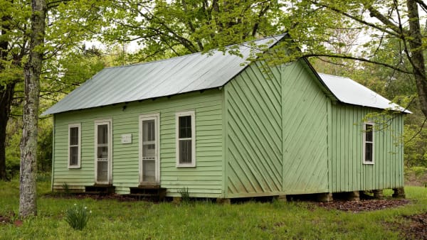
The pale green frame house of the Floyd Collins homestead under spring trees off Flint Ridge Road in Mammoth Cave National Park.
History

Carnival Sunday at Sand Cave

In 1925 Floyd Collins went looking for a show cave closer to the road and was pinned 60 feet down. About 10,000 people came on a single Sunday, and his body became an attraction of the cave wars he had joined.

Open Road Guide · 3 min read
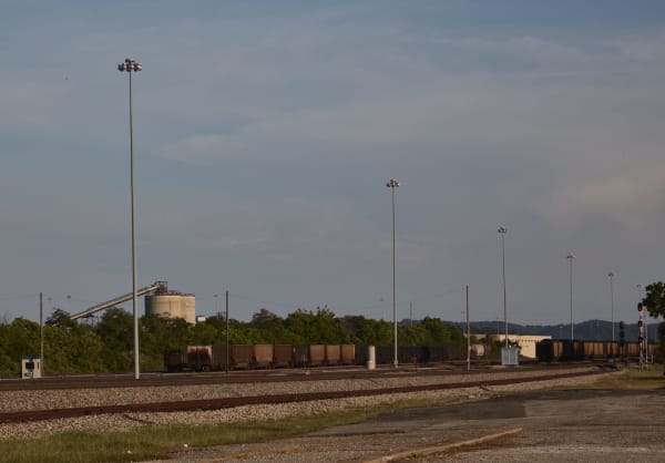
Tracks and a line of coal cars stretch across the rail yard in Corbin under tall light towers and an evening sky.
History

Train No. 31 to Knoxville

On the night of October 30, 1919, white railroaders in Corbin drove nearly all of the town's Black residents onto trains and out of town. Historian Matthew C. O'Neal reads it as a fight over railroad work.

Open Road Guide · 3 min read
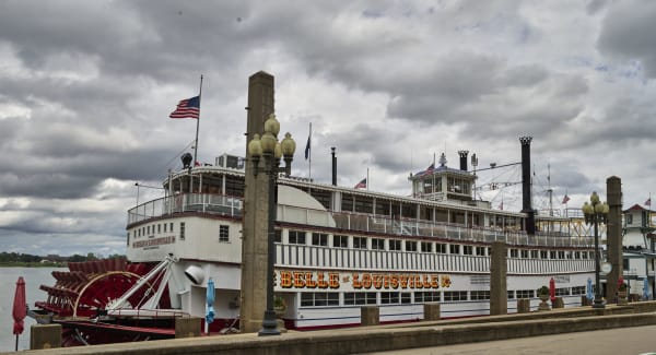
The white Belle of Louisville steamboat with its red paddlewheel moored at the Louisville wharf under a cloudy sky.
History

Three Names on One Hull

Built in Pittsburgh in 1914 as the Memphis ferry Idlewild, the boat worked as a river taxi, a barge pusher and the tramping excursion boat Avalon before Jefferson County bought her at auction in 1962.

Open Road Guide · 3 min read
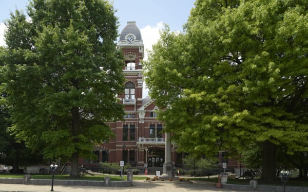
The red brick Campbell County Courthouse in Newport, with its clock tower rising between two large shade trees.
History

The Room at the Glenn Hotel

Newport's casinos outlasted decades of reformers. In 1961 a frame-up meant to sink the reform candidate for Campbell County sheriff came apart in police court and helped put him in office.

Open Road Guide · 3 min read
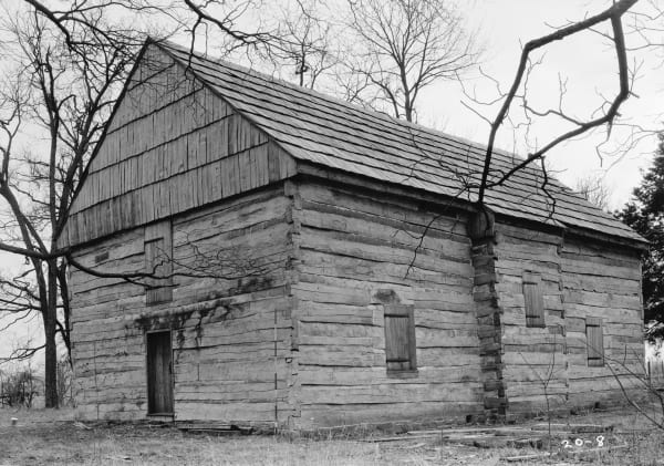
A black-and-white view of the Cane Ridge log meetinghouse with its shingled gable and shuttered windows among bare winter trees.
History

The Sacrament at Cane Ridge

In August 1801 a Presbyterian communion at a log meetinghouse in Bourbon County drew perhaps 20,000 people over a week, and three years later its pastor's circle dissolved their own presbytery there.

Open Road Guide · 3 min read
All 11 stories from Kentucky →

Historical Markers

Roadside history, plaque by plaque — every marker in Kentucky, grouped by county and searchable.

Roadside History

Markers of Kentucky

Browse every historical marker across Kentucky — organized by county, each with its full plaque text.

1075
markers
Browse by county →
← Explore another state