
Las Vegas & the Colorado River
Nevada's far south — beyond the neon, the red sandstone of Valley of Fire and Red Rock, the wall of Hoover Dam, and the long blue reach of Lake Mead.
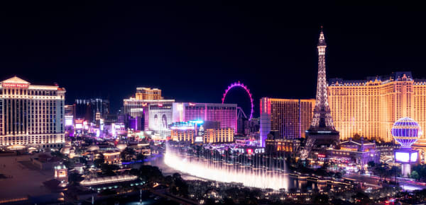
Southern Nevada is a study in extremes. This is the Mojave corner of the state, the hot, dry tip where Nevada meets Arizona across the Colorado River and California across the dunes — a landscape of bare desert mountains and creosote flats that runs a hundred shades of brown until the light hits the red rock. And dropped into the middle of it is Las Vegas, the most artificial city in America, glittering in a basin that by every natural measure should not support it. The whole region runs on a single improbable resource: water, in a place that has almost none.
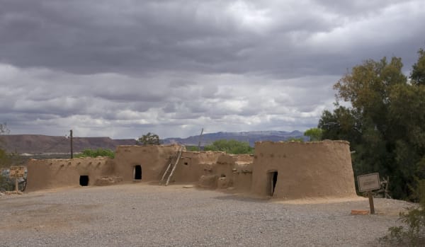
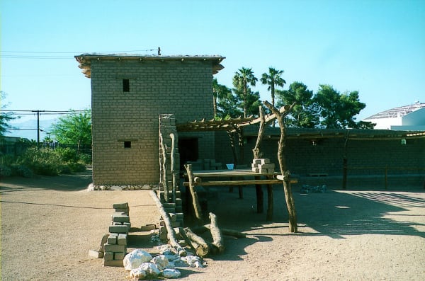
That paradox is written into the city's own history. Las Vegas began not as a casino town but as a spring — a creek-fed oasis the Spanish called las vegas, the meadows, where Mormon missionaries built an adobe way station in 1855 that still stands downtown as the Old Las Vegas Mormon Fort. A century later the same valley grew the Las Vegas Strip, four miles of engineered spectacle that is, in a detail worth savoring, not technically in Las Vegas at all. The fort and the Strip sit a mile apart and a world apart, the two ends of the city's strange arc.
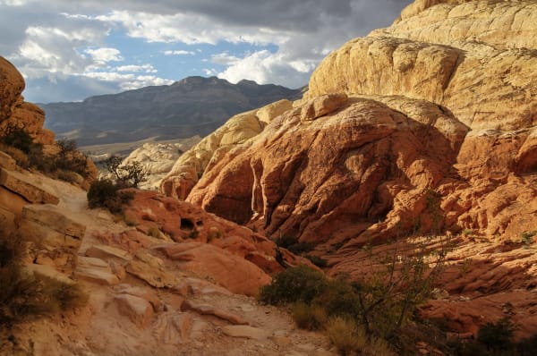
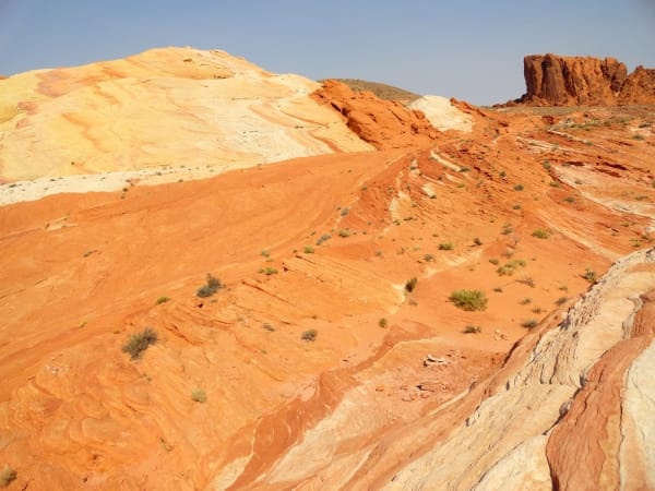
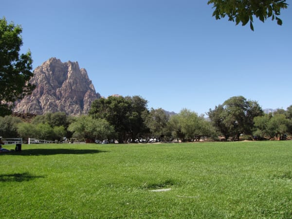
Point the car away from the neon and the desert reasserts itself fast. Fifteen miles west of the Strip, Red Rock Canyon throws up a striped sandstone escarpment three thousand feet high, its red Aztec rock capped by older gray limestone shoved over the top by the Keystone Thrust. An hour to the northeast, Valley of Fire — Nevada's oldest state park — burns brighter still, a basin of fire-colored stone scrawled with petroglyphs two and three thousand years old. The same Jurassic dunes underlie both; the desert here keeps its best color hidden just past the city limits.
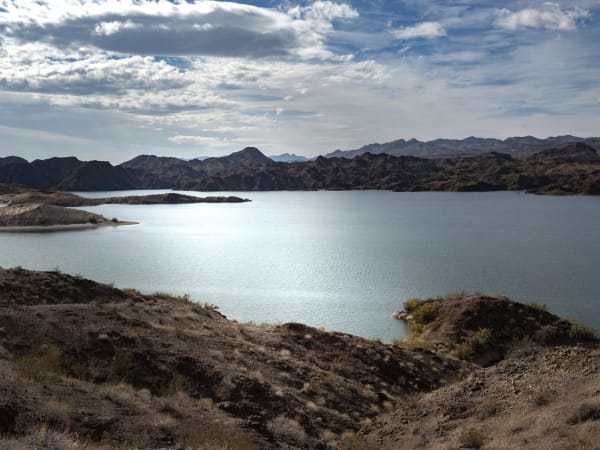
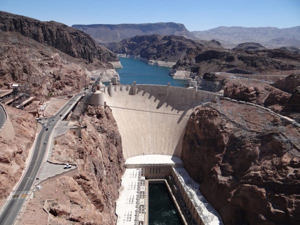
And then there is the river that made all of it possible. The Colorado runs the region's southern and eastern edge, and thirty miles from the Strip it slams into Hoover Dam, the 726-foot Depression-era wall that tamed the river and powers the city. Behind it lies Lake Mead, the largest reservoir in the country and the most honest thing in southern Nevada — its bleached bathtub ring climbing higher every drought year, a plain reminder that the water which built this improbable place was never guaranteed to last. From the 1855 spring to the 1935 dam, the story of this corner of Nevada has always been about water in a country that has almost none.
What to See in Las Vegas & the Colorado River
12 places across the region, grouped by what they are.
Geology & Rock Formations
Natural Areas
Hikes & Trails
Historic Sites
Towns & Gateways
Industry & Mining
Attractions
Scenic Drives through Las Vegas & the Colorado River
I-15: The Virgin River Gorge
Three states in twenty-nine Arizona miles — I-15 threads the Virgin River Gorge, the most expensive rural interstate ever built, following the desert water that drew every road here from the Old Spanish Trail to the Las Vegas Springs.
US-93: The Hoover Dam Crossing
The desert run from Kingman to Las Vegas — over the one place where Arizona and Nevada physically meet: Hoover Dam, wedged into Black Canyon, and the reservoir and neon it made possible.
Stories from Las Vegas & the Colorado River
The Island Above the Mojave
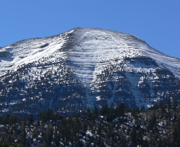
A pale ridge visible from the Las Vegas Strip, the Spring Mountains rise nearly two miles out of the desert as a true sky island — cut off by a hundred miles of sand on every side, stacked with every life zone from creosote to bristlecone, and home to some two dozen species found nowhere else on earth, from Palmer's chipmunk to an endangered blue butterfly that flies two weeks a summer on the highest ridges.
The Most Bombed Place on Earth
An hour up the highway from Las Vegas lies the most bombed ground on the planet — nine hundred and twenty-eight nuclear blasts in forty years, mushroom clouds the casinos sold as a floor show, and a fallout that drifted east into people who were never asked; the fireballs stopped in 1992, but on this ground almost nothing about them is finished.
The Sea Over the Sand
Red Rock's cliffs are a petrified Jurassic Sahara; Mount Charleston's gray summits are the floor of a vanished tropical sea lifted two miles into the sky; and at the seam between them an ancient fault shoved the sea-rock up and over the desert-rock, stacking southern Nevada's deep time the wrong way up.
The City the Strip Forgot
The Las Vegas the world pictures — the Strip — sits four miles outside the city limits and implodes its own landmarks for sport; the real city is downtown, on the street where it began, and it has quietly become the one place in Nevada that bothers to remember.
The Meadows and the River
A city named for desert grass it has long since used up, built first on a spring that ran dry and then on a river that is running low — southern Nevada's whole history, from an Ancestral Puebloan city to the wall of Hoover Dam, is a single long argument about water in a place that has almost none.
Las Vegas & the Colorado River rewards the unhurried. Pick a base, fan out, and let the country between the headline stops surprise you.
← Explore more of Open Road Guide