
Greater Zion
Utah's red-rock southwest corner — Zion National Park and the canyons, ghost towns, and desert parks of Washington County around it.
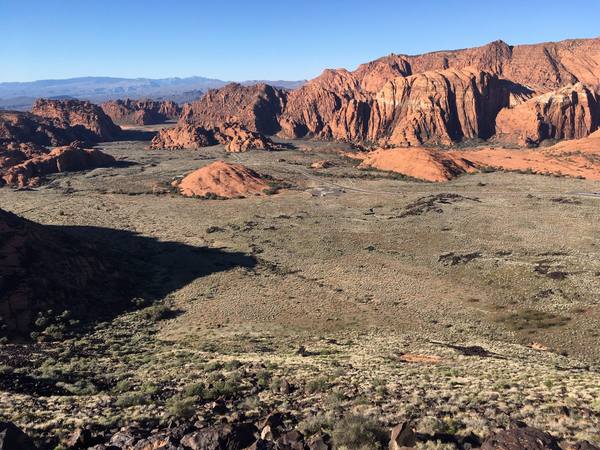
Greater Zion is the corner of Utah that most people picture when they picture Utah at all: a high desert of vermilion cliffs and slot canyons in the state's southwest, anchored by Zion National Park and spreading out across Washington County around it. It is the busiest, most-visited country in the state — Zion alone draws close to five million people a year — but the park is only the center of it. The region runs from the red sandstone above St. George, north into the alpine fingers of Kolob, and east up Highway 9 over the cliffs toward the open desert.
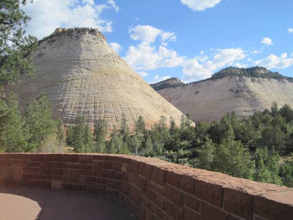
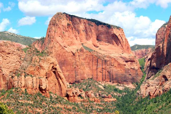
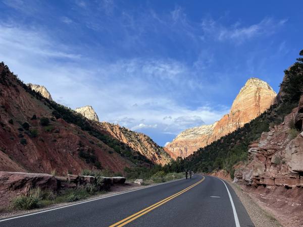
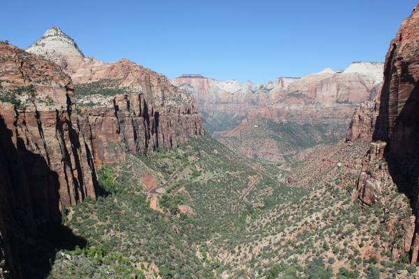
The heart of it is Zion National Park, a 2,000-foot-deep canyon cut by the Virgin River, walled in Navajo sandstone and best known for the shuttle-only Zion Canyon and the cliff-edge hikes above it. But the park has two faces most visitors miss: Kolob Canyons, its quieter northwest section off I-15, and the dramatic east side, where Highway 9 climbs through the 1930 Zion–Mount Carmel Tunnel past Checkerboard Mesa and the short, spectacular Canyon Overlook Trail.
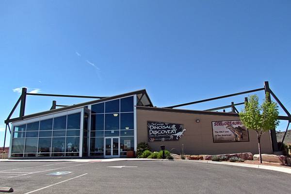
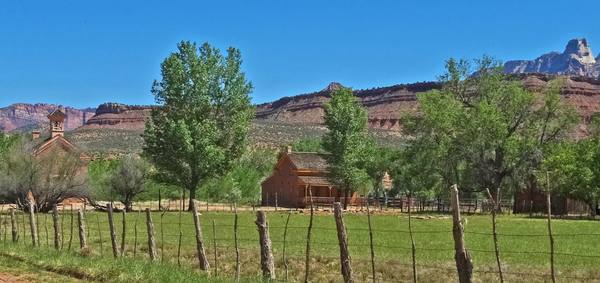
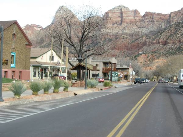
Around the park sit the towns and detours that make a trip here more than a single stop. Springdale presses right up against the south entrance, a one-mile strip of lodging and galleries that doubles as the staging ground for the park shuttle. Just west, the abandoned Grafton ghost town sits in a river bend that has stood in for the Old West in more than one film, and Highway 9 runs east to the crossroads at Mount Carmel Junction. Out toward St. George, the region opens into the lava-and-sand landscapes of Snow Canyon State Park and the 200-million-year-old dinosaur tracks pressed into stone at the edge of town.
It is, in short, a region you can spend a weekend in or a week — the kind of place where the headline attraction is so big it hides everything around it. This guide is built to surface the rest.
What to See in Greater Zion
11 places across the region, grouped by what they are.
Geology & Rock Formations
Natural Areas
Hikes & Trails
Historic Sites
Towns & Gateways
Scenic Drives through Greater Zion
Highway 9 Scenic Byway
A 57-mile drive from the I-15 gateway through Springdale and Zion National Park to Mount Carmel Junction — climbing the cliff-face switchbacks and the 1930 Zion–Mount Carmel Tunnel along the way.
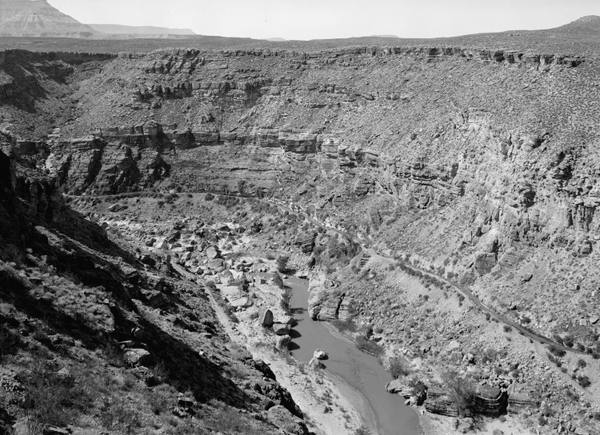
I-15: The Virgin River Gorge
Three states in twenty-nine Arizona miles — I-15 threads the Virgin River Gorge, the most expensive rural interstate ever built, following the desert water that drew every road here from the Old Spanish Trail to the Las Vegas Springs.
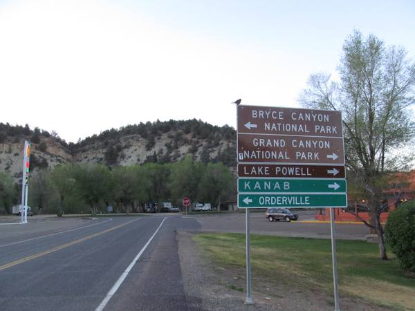
US-89: Climbing the Grand Staircase
The climb from Lake Powell to Bryce Canyon — up the Grand Staircase, where each step north is younger rock and higher ground, from the slickrock desert to the Pink Cliffs and their hoodoos.
Stories from Greater Zion
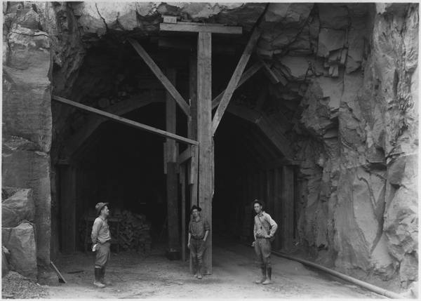
The Town They Dug Before They Built It
For eleven winters, farmers from the flood-wrecked villages of the upper Virgin River blasted a canal along a gorge wall to water a bench where nobody lived. The water arrived in 1904. The first family arrived two years later.
The Small Print at the Side of the Road
Utah's historical markers carry two stories: the one on the front, and the one at the bottom — a hundred and twenty-five years of daughters, sons, counties, towns, and one museum deciding what deserved bronze.
Greater Zion rewards the unhurried. Pick a base, fan out, and let the country between the headline stops surprise you.
← Explore more of Open Road Guide