The Story
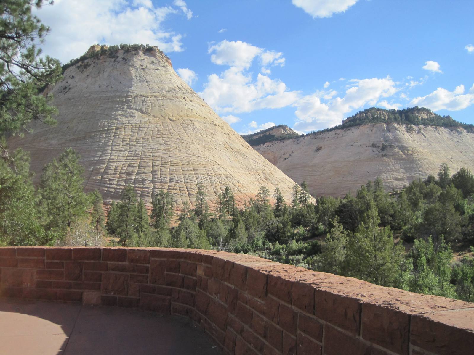
Checkerboard Mesa is the formation that tells you Highway 9 has crossed to the other side of the mountain. It stands just inside Zion's east entrance, a pale dome of Navajo sandstone rising some nine hundred feet above the road, and its whole face is scored into a grid so regular it looks deliberate — rows and columns of shallow grooves crossing each other like the surface of a waffle iron.
The pattern is geology showing its work. The near-horizontal lines are the original bedding of the rock: this is petrified sand dune, laid down in the Jurassic roughly 175 million years ago, and those faint bands are the layers in which the windblown sand once settled. The vertical lines are younger and have nothing to do with how the rock formed — they are fractures, opened by the sandstone expanding in heat and contracting in cold over a very long time, and deepened by water freezing in the cracks. Where the horizontal bedding and the vertical cracks overlap, the surface breaks into the checkerboard, and the effect is sharper on this particular dome than almost anywhere else in the park.
It is mostly a place to stop and look up. A pullout near the east entrance gives the classic head-on view, and the formation is one of the most photographed stops on the east side of Zion National Park — easy to reach, since the road runs right past its foot, and a natural last landmark before the country flattens out toward Mount Carmel Junction. The park's third superintendent first called it Checkerboard Mountain; the name was changed to Checkerboard Mesa and made official in 1935. The dome can be scrambled by the determined, but most people are content to keep their feet on the pavement and their necks craned back.
Visitor Info
On the Map
Nearby
The closest stops worth working into your route
Historical markers nearby
Roadside plaques and monuments within a short detour