US-101 on the North Coast: Astoria to Newport
The north half of the Oregon Coast Highway: Fort Clatsop and the Seaside salt works, Cannon Beach, Oswald West, Tillamook, the Three Capes, Depoe Bay and the Yaquina Bay Bridge.
The Route at a Glance
US-101 leaves Astoria over the mouth of Youngs Bay and passes the turnoff to Fort Clatsop, the replica of the post where the Lewis and Clark party wintered. In the winter of 1806 three of its men camped on the beach at what is now Seaside and boiled seawater for nearly two months to make four bushels of salt for the trip home; a reconstructed salt cairn stands a few blocks from the promenade, and a bronze of the captains at the Turnaround marks the official end of their trail. Cannon Beach sits on a short loop off the highway below Tillamook Head, with Haystack Rock in the surf off its beach.
South of Cannon Beach the road climbs over the headlands at Oswald West State Park, named for the governor who got the legislature to declare the beaches a public highway in 1913 — the ground the 1967 Beach Bill was built on. Then it drops to the dairy flats around Tillamook Bay, where the Tillamook creamery's cheese plant stands beside the highway north of town. From Tillamook the highway turns inland through the foothills to Neskowin; the slower Three Capes loop by Cape Meares, Cape Lookout and Cape Kiwanda keeps to the shore if there is time for it.
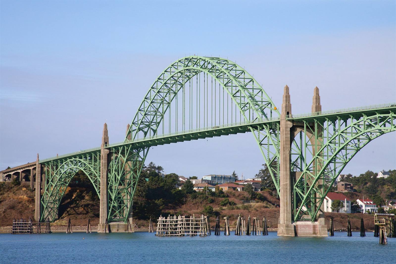
Lincoln City strings its motels for miles along the road. At Depoe Bay the harbor is a notch in the basalt with a bridge over its mouth, one of Conde McCullough's arches that carry the highway down this coast, and gray whales feed close inshore from spring into fall. The route ends at Newport, where the highway crosses Yaquina Bay on a steel and concrete arch opened in September 1936, one of five Depression-era bridges that finally let a driver run the whole coast without a ferry.
The Drive, Stop by Stop
6 stops along the route, in driving order from Astoria, Oregon to Newport, Oregon.
- 1
- 2
- 3
- 4
- 5
- 6
That's the drive. Take your time, pull over often, and let US-101 on the North Coast: Astoria to Newport do what it does best.
← Explore more of Open Road Guide