Drive the gorge at Cascade Locks and look north across the river. Above the Washington shore a raw gray cliff stands near the top of Table Mountain, and below it the slopes run down to the water in a jumble of hummocks and ponds. That cliff is the scar of the Bonneville landslide, and the hummocks are the mountain that came down.
The mountain that fell
The north wall of the gorge here is layered volcanic rock tilted gently toward the river, and it fails in great slabs. Lidar surveys have since mapped more than two hundred landslides in the western gorge, some still creeping. The Bonneville slide was the largest of its group. Something on the order of a cubic kilometer of rock broke away from Table Mountain, dropped about a thousand meters and ran some three and a half miles, spreading over about fifteen square kilometers and straight across the Columbia. The river backed up behind the debris into a lake that reached upstream at least to the Wyeth area and perhaps all the way through the gorge, drowning the forest along its banks.
Then the water overtopped the dam and began to cut it down. The boulders too big to move stayed in the channel, and they became the Cascade Rapids, the white water that forced the portage every traveler on the river knew, until Bonneville Dam drowned them in 1938. Lewis and Clark, coming down in 1805, noticed dead trees standing in the river upstream, still rooted in the bottom, and wondered at them. They were the drowned forest.
What the people remembered
The peoples of the river told of a time when the Columbia could be crossed on dry land here. The stories vary from teller to teller and people to people. In one widely recorded Klickitat version, the chief of the gods came down the river with his two sons, Pahto and Wy'east, and when they quarreled over the land he sent one to each side of the river and built a great bridge between them so the family could still meet. The brothers quarreled again, over Loowit, and their fighting shook the bridge into the river; their father turned them into the mountains now called Adams and Hood, and Loowit into St. Helens. Geologists now generally read these stories as memory of a real dam people walked across.
Chasing the date
Writers long gave the slide's date as about 1100. A radiocarbon date in the 1950s put it roughly seven centuries back, with a wide margin. By the late 1990s new radiocarbon work and lichen studies pointed to somewhere between 1550 and 1760, and because that range included the great Cascadia earthquake of 1700, the earthquake became the favored trigger. It was a satisfying story.
It was wrong. In 2022 a team led by the U.S. Geological Survey published the results of tree-ring matching and nine radiocarbon analyses on three trees, one carried and buried by the slide and two killed upstream by the rising lake. All three had died in the same year, and that year fell between 1421 and 1455. The 1700 earthquake could not have done it, though an earlier earthquake still might have.
The bridge today
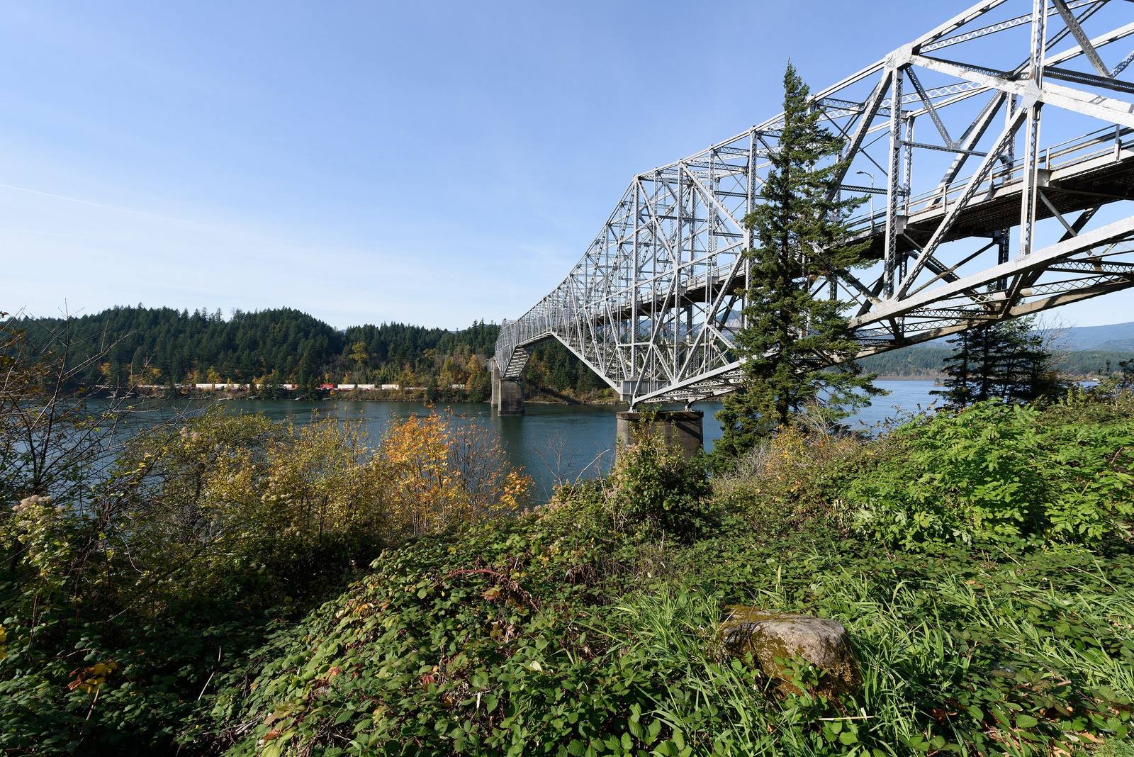
When a steel toll bridge was built across the river near the old dam site in 1926, it took the legend's name. It was raised in 1938 to clear the rising water behind Bonneville Dam, and the Pacific Crest Trail crosses the Columbia on it now. From its deck the landslide scar on Table Mountain is plain to see, and the river below it runs over the buried rubble of the first bridge.