The Historic Columbia River Highway: Troutdale to The Dalles
Samuel Lancaster's 1913–1922 road through the Gorge: Vista House at Crown Point, the waterfall corridor and Multnomah Falls, then the Rowena Loops down into The Dalles.
The Route at a Glance
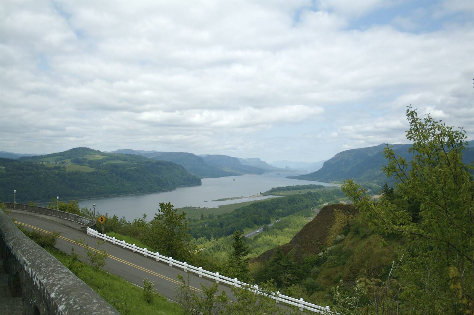
The old road leaves Troutdale across the Sandy River, follows its east bank upstream, then climbs through farm country to Crown Point. Vista House stands on the point, an octagonal stone rest stop finished in 1918 as a memorial to the Oregon pioneers, 733 feet above the Columbia, and the road circles it. From there Samuel Lancaster's highway drops in tight, stone-walled curves into the waterfall corridor — Latourell, Bridal Veil, Wahkeena, and Multnomah, which falls 620 feet in two drops with the Benson footbridge of 1914 between them. The road is narrow and the lots at Multnomah fill early on summer days; a weekday morning is better, and the falls run fuller outside summer anyway.
Past Ainsworth the old road merges into Interstate 84, and for some thirty-five miles the freeway is the only way through by car: past Bonneville Dam, finished in 1938, then Cascade Locks and Hood River. Between Hood River and Mosier the original roadway survives as a state trail closed to cars, through the Mosier Twin Tunnels.
At Mosier the old highway comes back as a road and climbs out of the forest onto open grassland high above the river. At Rowena Crest it drops down the basalt in a stack of hairpin loops, and in spring the Tom McCall Preserve on the crest goes yellow and blue with balsamroot and lupine. From the foot of the loops it runs on into The Dalles, where the Gorge opens into dry country and the wagon road west used to meet the river.
The Drive, Stop by Stop
4 stops along the route, in driving order from Troutdale, Oregon to The Dalles, Oregon.
- 1
- 2
- 3
- 4
That's the drive. Take your time, pull over often, and let The Historic Columbia River Highway: Troutdale to The Dalles do what it does best.
← Explore more of Open Road Guide