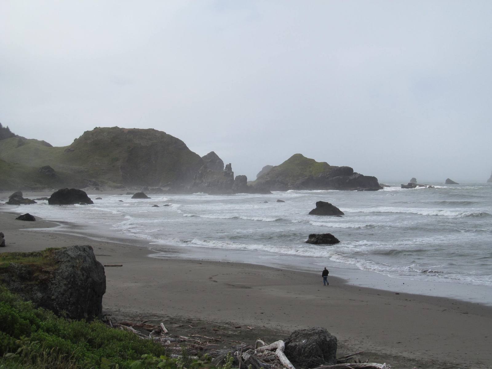
Sea stacks and wooded headlands along a beach in the Samuel H. Boardman corridor on the south Oregon coast
Dougtone / CC BY-SA 2.0 via Wikimedia Commons
Oregon · Region

The South Oregon Coast

Coos, Siuslaw and Coquille country from Florence to the California line — forty miles of the Oregon Dunes, Bandon's sea stacks, Cape Blanco's light, and Brookings, bombed from the air in 1942.

5 places to explore

The Siuslaw, Lower Umpqua and Coos lived in cedar plank-house villages on the estuaries of the rivers that still carry their names, and south of them the Coquille, the Tututni and the Chetco. In 1855 the three northern peoples signed a treaty that Congress never ratified. Within a year, as war broke out on the Rogue, the Coos were rounded up, marched to Fort Umpqua and held prisoner there to keep them out of it; in the 1860s they were driven north to the Alsea Subagency at Yachats, a fenced camp the tribes' own history names as genocide. The Confederated Tribes of Coos, Lower Umpqua and Siuslaw Indians were terminated in 1954, restored in 1984, and govern from Coos Bay.

From Florence south to the Coos River the shore is sand. The Oregon Dunes run some forty miles, the largest coastal dunes in North America, some of them five hundred feet high, with lakes dammed up behind them and remnants of old forest standing in them as islands. US-101 keeps a few miles inland, and only a handful of roads cross to the beach. Below Coos Bay the coast turns back to rock — the sea lions off Cape Arago, the sea stacks at Bandon, and Cape Blanco reaching farther west than any other point in Oregon, with the oldest lighthouse still standing in the state.

Near the California line, Brookings sits at the mouth of the Chetco among the northernmost coast redwoods. In September 1942 a Japanese floatplane launched from a submarine flew in over the Cape Blanco light and dropped incendiary bombs on Mount Emily, in the hills behind the town, the only time enemy aircraft bombed the continental United States. The fire was small and soon out. In 1962 the pilot, Nobuo Fujita, came back to Brookings and gave the town his family's samurai sword.

What to See in The South Oregon Coast

5 places across the region, grouped by what they are.

Natural Areas
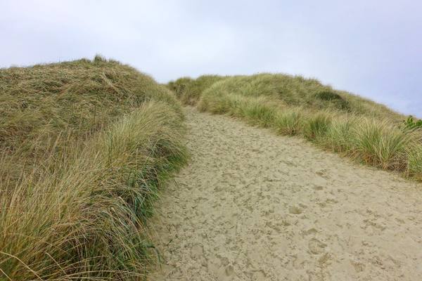
A sand path between ridges of beachgrass on a stabilized foredune in the Oregon Dunes

Oregon Dunes

Florence

Forty miles of moving sand that Frank Herbert came to write about in 1957, and a government project to stop them that gave him Dune and is now being undone.

View details →

Historic Sites

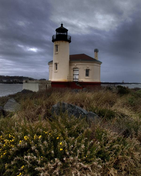
The Coquille River lighthouse at the river's mouth in Bandon, flowering scrub in the foreground under a storm sky

Bandon

Bandon

A town at the mouth of the Coquille built near the site of an 1854 massacre, named for a town in Ireland, and burned in 1936 by the Irish gorse its founder planted.

View details →
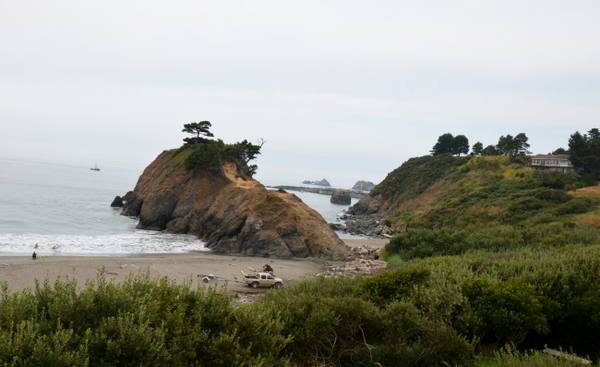
Battle Rock seen from above the beach at Port Orford: a tawny, brush-covered sea stack topped by wind-bent pines, a worn path climbing its landward side and surf breaking at its seaward foot, with a pickup and boat trailer and a lone figure on the sand below. Beyond it the harbor's dock and crane stand out on the water, and the green slope of Port Orford Heads rises at the right under an overcast sky.

Battle Rock

Port Orford

Port Orford's founding legend, named for a battle by the man who fired the cannon and remembered by another witness, and by the people it happened to, as something else.

View details →
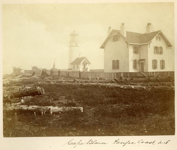
The Cape Blanco lighthouse and its keepers' dwelling in 1871, driftwood and cleared ground in front

Cape Blanco Lighthouse

Port Orford

The westernmost light in Oregon, kept for decades by two men who spent their whole careers on the cape and, from 1903, by the state's first woman keeper.

View details →

Architecture

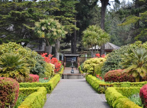
Clipped hedges and spring flowerbeds lining a path through the formal garden at Shore Acres

Shore Acres State Park

Coos Bay

A timber family's clifftop estate whose mansion burned three months after its mistress died, whose larger replacement the state could not keep, and whose gardens it did.

View details →

Scenic Drives through The South Oregon Coast

Scenic Byway

U.S. 101: The Wild Rivers Crossing

From Crescent City north across the Oregon line, through the Boardman corridor and over the Rogue at Gold Beach, to Port Orford, Cape Blanco and Bandon.

109 mi · 2.5 hrs

Stories from The South Oregon Coast

History

The Ship That Would Not Sink

In February 1999 a wood-chip freighter came ashore on the North Spit of Coos Bay. The government set it on fire, towed half of it to sea, shelled it and torpedoed it. The other half stayed on the beach for nine years.

5 min read

The South Oregon Coast rewards the unhurried. Pick a base, fan out, and let the country between the headline stops surprise you.

← Explore more of Open Road Guide