The Oregon High Desert
Wadatika Paiute country in the Great Basin — Malheur Lake and the Burns Paiute, Steens Mountain and the Alvord Desert, the Owyhee canyons, and the ten-thousand-year-old sandals of Fort Rock.
The Northern Paiute band around Malheur Lake were the Wadatika, named for the wada seed they gathered on its marshes. In 1872 President Grant set aside a reservation of some 1.8 million acres for them, and by 1876 settlers' pressure had opened parts of it to grazing. When the Bannock War swept through in 1878 the Paiute fled the reservation, and in January 1879 more than five hundred were marched from Camp Harney to the Yakama reservation in Washington, some 350 miles through deep snow, some of the men in leg irons. They were held there five years while the reservation was dissolved behind them. Some found their way back to the Harney Basin and lived for decades in camps on the edge of Burns; they bought 771 acres north of town on a federal loan in 1935, and in 1972 Congress made it their reservation.
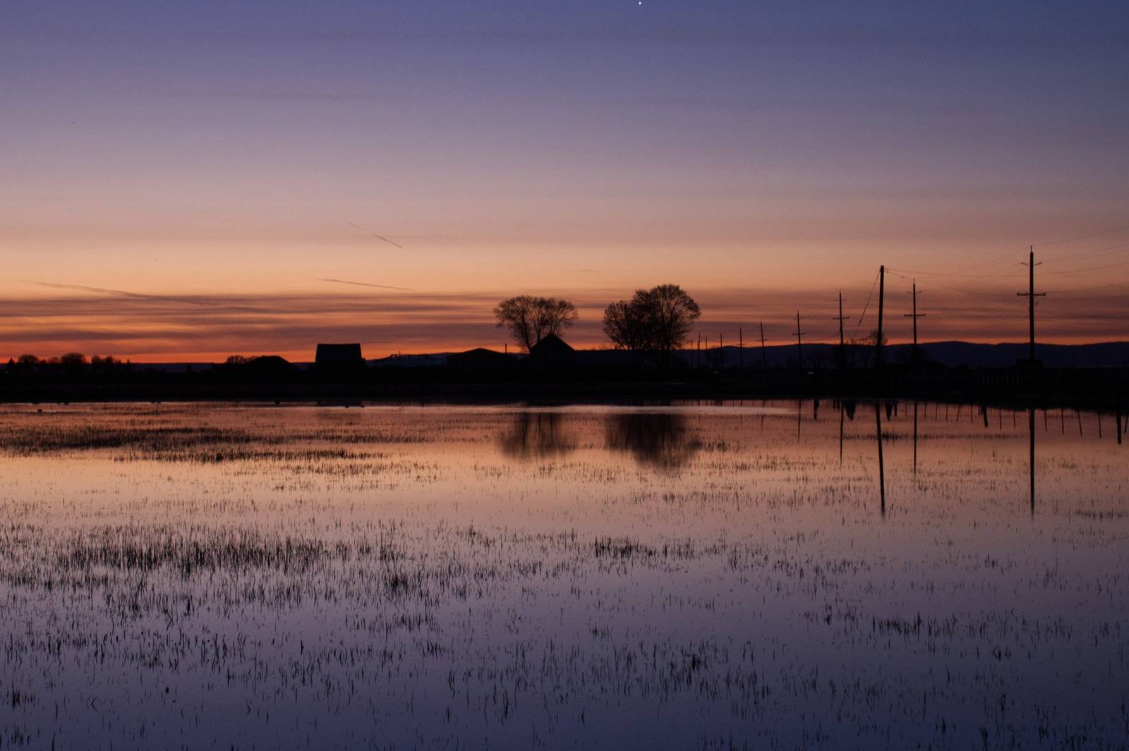
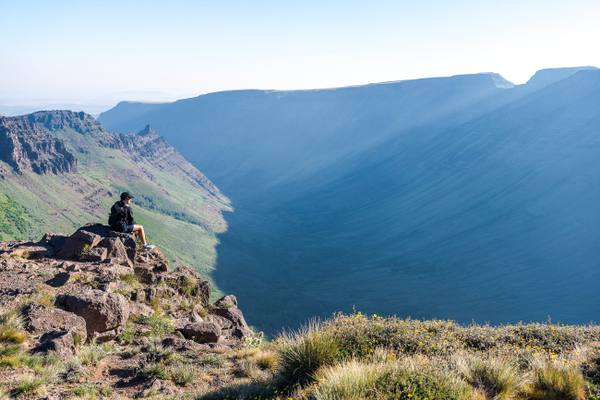
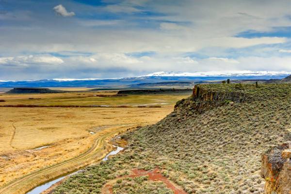
Malheur Lake became a bird refuge in 1908. In January 2016 armed occupiers took over the refuge headquarters for forty-one days, demanding the land be handed to local ranchers; the Burns Paiute answered that it was their ancestors' homeland. South of the lake, Steens Mountain rises in a single fault block more than a mile above the white playa of the Alvord Desert, and east toward Idaho the Owyhee runs through canyons few roads reach.
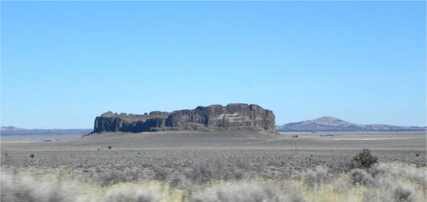
The western end of the region is older ground still. In 1938 the archaeologist Luther Cressman dug in a cave in a butte beside Fort Rock, a ring of volcanic tuff standing alone on an ancient lakebed, and found dozens of sandals woven from shredded sagebrush bark beneath a layer of Mount Mazama's ash. Radiocarbon dating later put them at about ten thousand years old, the oldest directly dated footwear in the world.
What to See in The Oregon High Desert
5 places across the region, grouped by what they are.
Geology & Rock Formations
Natural Areas
Historic Sites
Scenic Drives through The Oregon High Desert
Stories from The Oregon High Desert
The Oregon High Desert rewards the unhurried. Pick a base, fan out, and let the country between the headline stops surprise you.
← Explore more of Open Road Guide