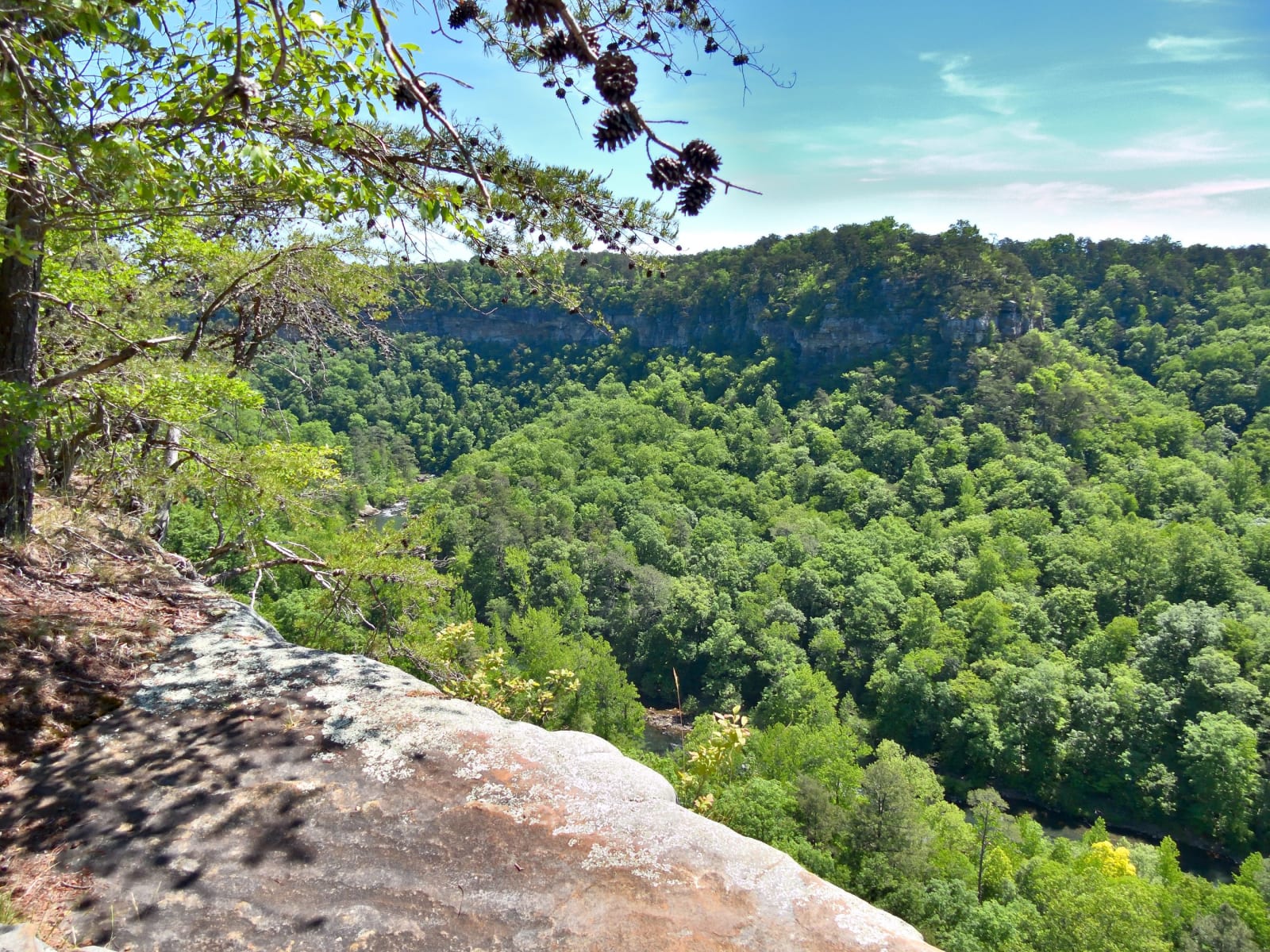
Little River Canyon's wooded walls seen from a sandstone ledge at Eberhart Point.
NPS / public domain
Alabama · Region

Little River Canyon & Northeast Alabama

Little River Canyon and northeast Alabama: Cherokee and Creek country, Fort Payne and removal, Confederate iron, the Anniston Freedom Riders and Cheaha.

11 places to explore

This was Cherokee and Muscogee (Creek) country. Sandstone shelters at Cherokee Rock Village were camps for thousands of years, and Sequoyah worked on his syllabary at Willstown. In 1813 Jackson's army destroyed the Red Stick town of Tallushatchee near Ten Islands; the Creeks lost the south in 1832, the Cherokee the north at New Echota, and in 1838 Cherokee families were held at the Fort Payne stockade before the Trail of Tears.

Iron came next. Enslaved people built the Confederate furnaces at Cornwall and Janney, and the Noble family behind Cornwall went on to found Anniston, the Model City whose museum keeps William Werner's birds. On Mother's Day 1961 a mob there attacked the Freedom Riders' bus and firebombed it west of town, sites now a national monument. Fort McClellan's ridges have become the Mountain Longleaf refuge.

Above it all is the high country. Little River runs nearly its whole length on top of Lookout Mountain and cuts a canyon 600 feet deep; DeSoto State Park keeps CCC stone cabins, and Noccalula Falls pours 90 feet into Black Creek at Gadsden. Cheaha, named from the Muscogee for a high place, is Alabama's summit, and the Pinhoti Trail crosses it on the way to Georgia. Climbers come for the sandstone walls at Sand Rock above Weiss Lake.

What to See in Little River Canyon & Northeast Alabama

11 places across the region, grouped by what they are.

Geology & Rock Formations
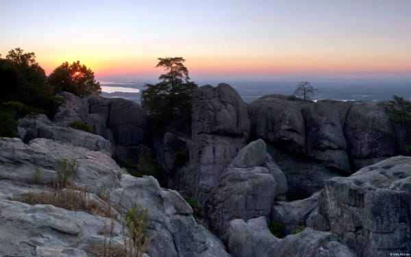
Sandstone blocks and pines at Cherokee Rock Village at sunset, with Weiss Lake in the valley beyond.

Cherokee Rock Village

Leesburg

A county park of house-sized sandstone blocks on the south end of Lookout Mountain above Weiss Lake, a Cherokee place until 1838 and now one of the South's busiest climbing areas.

View details →

Natural Areas

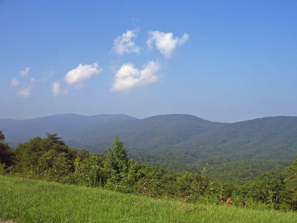
Forested ridges of the Talladega National Forest seen from an overlook on the Talladega Scenic Drive near Cheaha.

Cheaha State Park

Delta

Alabama's highest point, 2,407 feet, named from the Muscogee word for a high place, with CCC stone cabins, a hand-dug lake and a lookout tower over the Talladega National Forest.

View details →
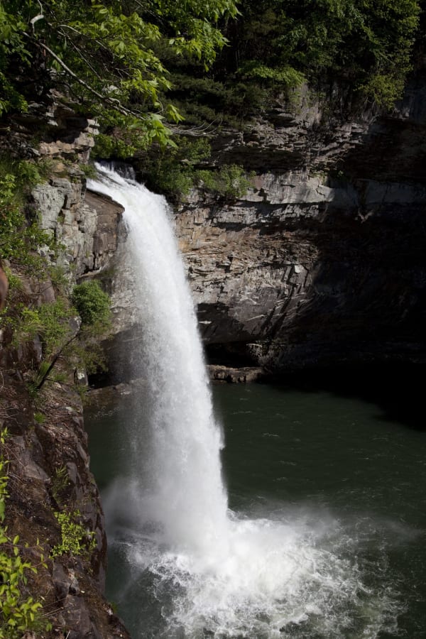
A waterfall plunges between sandstone walls into a dark green pool in DeSoto State Park.

DeSoto State Park

Fort Payne

A CCC park of stone cabins and lodge on Lookout Mountain, quarried from its own ground, with Alabama's tallest waterfall on a separate tract near Mentone.

View details →
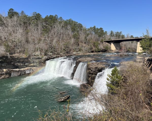
Little River Falls spills over sandstone ledges below the Highway 35 bridge in early spring.

Little River Canyon National Preserve

Fort Payne

An 18-mile sandstone gorge cut by a river that rises and runs almost its whole length on top of Lookout Mountain, in Cherokee country taken at New Echota.

View details →
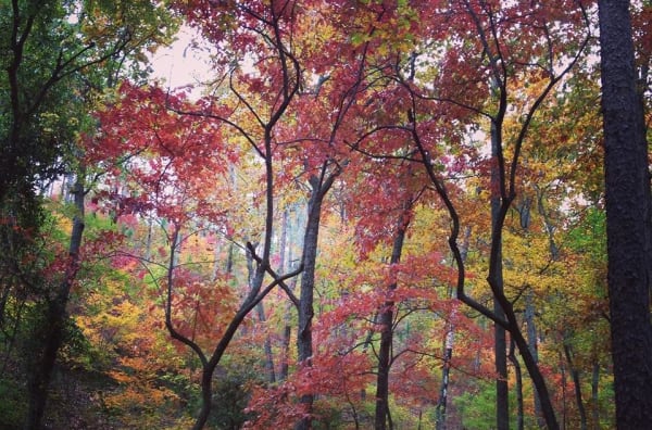
Red and gold autumn hardwoods on a wooded slope at Mountain Longleaf National Wildlife Refuge.

Mountain Longleaf National Wildlife Refuge

Anniston

Nine thousand acres of mountain longleaf pine on the ridges of the old Fort McClellan, where unexploded shells still keep two-thirds of the refuge closed.

View details →
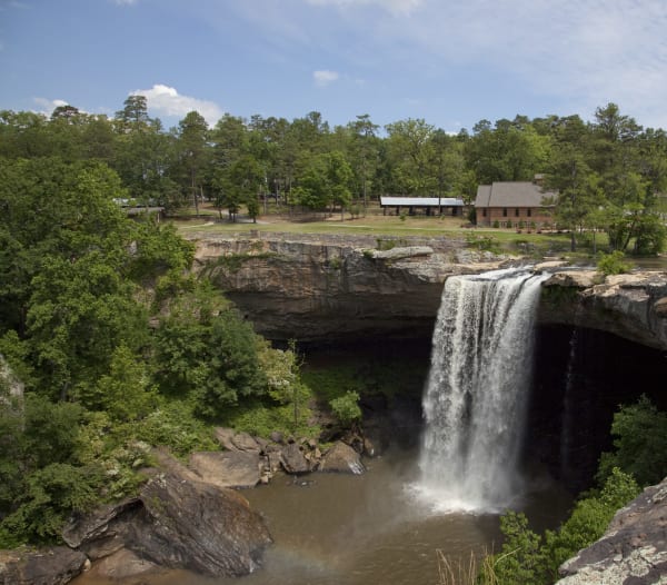
Noccalula Falls drops over a rock ledge into the Black Creek gorge, with park buildings on the rim beyond.

Noccalula Falls Park

Gadsden

A 90-foot waterfall on Black Creek at the edge of Gadsden, in old Cherokee country, carrying the name of a legend that white writers made popular in the 1890s.

View details →

Historic Sites

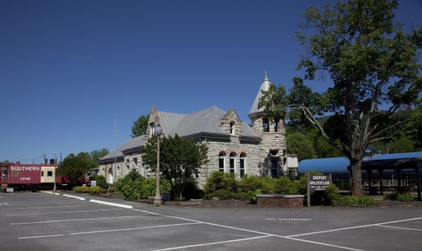
The stone Fort Payne depot with its corner turret, a red caboose and the Depot Museum sign.

Fort Payne Depot Museum

Fort Payne

An 1891 sandstone depot in the town that grew around the 1838 stockade where Cherokee families from Willstown were held for removal, now a museum of the valley.

View details →
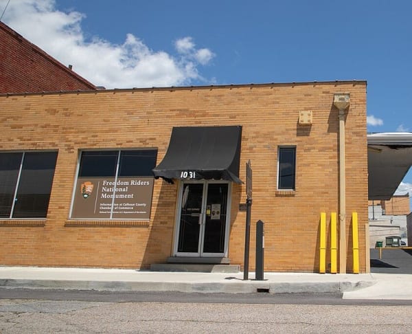
The tan brick former Greyhound bus station in Anniston, with a black awning over the door and a Freedom Riders National Monument sign in the window.

Freedom Riders National Monument

Anniston

The Anniston bus depot where a mob attacked the Freedom Riders on May 14, 1961, and the roadside field where it firebombed their bus, a national monument since 2017.

View details →

Towns & Gateways

Anniston Museum of Natural History

Anniston

A Smithsonian affiliate in Anniston that grew from a Pennsylvania textile man's 1915 cabinet and William Werner's more than 1,800 mounted birds, some of species now extinct.

View details →

Industry & Mining

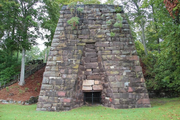
The stone stack of Cornwall Furnace in a grassy clearing among trees.

Cornwall Furnace Park

Cedar Bluff

The best-preserved stone blast furnace of its period in Alabama, built for the Confederacy in 1862 by the Noble brothers of Rome with hundreds of hired-out enslaved laborers.

View details →
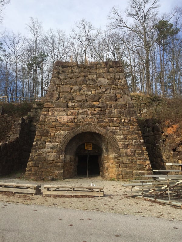
The arched sandstone stack of Janney Furnace among bare winter trees, with wooden benches in front.

Janney Furnace Park

Ohatchee

A 50-foot sandstone furnace stack that enslaved stonecutters built in 1863 near Ten Islands on the Coosa, where Jackson's army camped before it destroyed the Creek town of Tallushatchee.

View details →

Scenic Drives through Little River Canyon & Northeast Alabama

Scenic Byway

Little River Canyon Rim Parkway: Mentone, DeSoto State Park and the Canyon

About 38 miles along the top of Lookout Mountain, from Mentone down the DeSoto Parkway past DeSoto State Park to Little River Falls, then south on Highway 176 along the canyon rim to Canyon Mouth Park.

38 mi · 1.8 hrs

Little River Canyon & Northeast Alabama rewards the unhurried. Pick a base, fan out, and let the country between the headline stops surprise you.

← Explore more of Open Road Guide